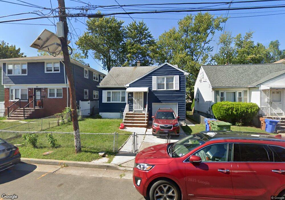
1221 Middlesex St Linden, NJ 07036
Estimated Value: $417,759 - $536,000
3
Beds
2
Baths
1,456
Sq Ft
$341/Sq Ft
Est. Value
About This Home
This home is located at 1221 Middlesex St, Linden, NJ 07036 and is currently estimated at $496,690, approximately $341 per square foot. 1221 Middlesex St is a home located in Union County with nearby schools including Dr Charles C Polk School, Grace Wilday Junior High School, and Leonard V. Moore Middle School.
Ownership History
Date
Name
Owned For
Owner Type
Purchase Details
Closed on
Jul 25, 2021
Sold by
Jackson Lee and Jackson Lizzie
Bought by
Jackson Lisa
Current Estimated Value
Purchase Details
Closed on
Dec 23, 2013
Sold by
Jackson Lee and Jackson Lizzie
Bought by
Jackson Lee and Jackson Lizzie
Create a Home Valuation Report for This Property
The Home Valuation Report is an in-depth analysis detailing your home's value as well as a comparison with similar homes in the area
Home Values in the Area
Average Home Value in this Area
Purchase History
| Date | Buyer | Sale Price | Title Company |
|---|---|---|---|
| Jackson Lisa | -- | None Available | |
| Jackson Lee | -- | None Available |
Source: Public Records
Tax History Compared to Growth
Tax History
| Year | Tax Paid | Tax Assessment Tax Assessment Total Assessment is a certain percentage of the fair market value that is determined by local assessors to be the total taxable value of land and additions on the property. | Land | Improvement |
|---|---|---|---|---|
| 2025 | $8,122 | $115,500 | $44,000 | $71,500 |
| 2024 | $7,944 | $115,500 | $44,000 | $71,500 |
| 2023 | $7,944 | $115,500 | $44,000 | $71,500 |
| 2022 | $7,986 | $115,500 | $44,000 | $71,500 |
| 2021 | $8,026 | $115,500 | $44,000 | $71,500 |
| 2020 | $7,983 | $115,500 | $44,000 | $71,500 |
| 2019 | $7,957 | $115,500 | $44,000 | $71,500 |
| 2018 | $7,954 | $115,500 | $44,000 | $71,500 |
| 2017 | $7,782 | $115,500 | $44,000 | $71,500 |
| 2016 | $7,538 | $115,500 | $44,000 | $71,500 |
| 2015 | $7,250 | $115,500 | $44,000 | $71,500 |
| 2014 | $7,109 | $115,500 | $44,000 | $71,500 |
Source: Public Records
Map
Nearby Homes
- 1107 Drake Ave
- 1005 Nora Dr
- 1116 Dill Ave
- 1105 Dill Ave
- 1121 Frank St
- 807 Carnegie St
- 1115 Frank St
- 1215 Bergen Ave
- 930 Drake Ave
- 13 Carolyn Terrace Unit A
- 1120 Morris St
- 1112 Morris St
- 812 Lincoln St
- 217 Chandler Ave
- 1204 Warren St
- 1202 Warren St
- 916 Harrison Ave
- 31 Carolynn Rd
- 1206 Morris St
- 1220 Lincoln St
- 1215 Middlesex St
- 1225 Middlesex St
- 1211 Middlesex St
- 1229 Middlesex St
- 1224 Union St
- 1220 Union St
- 1233 Middlesex St
- 1216 Union St
- 1004 Chandler Ave
- 1002 Chandler Ave
- 1002 Chandler Ave Unit 2R
- 1002 Chandler Ave
- 1220 Middlesex St
- 1008 Chandler Ave Unit 1010
- 1214 Middlesex St
- 1214 Middlesex St Unit 1
- 1214 Middlesex St Unit 2
- 1301 Middlesex St
- 1226 Middlesex St
- 1210 Middlesex St Unit 1