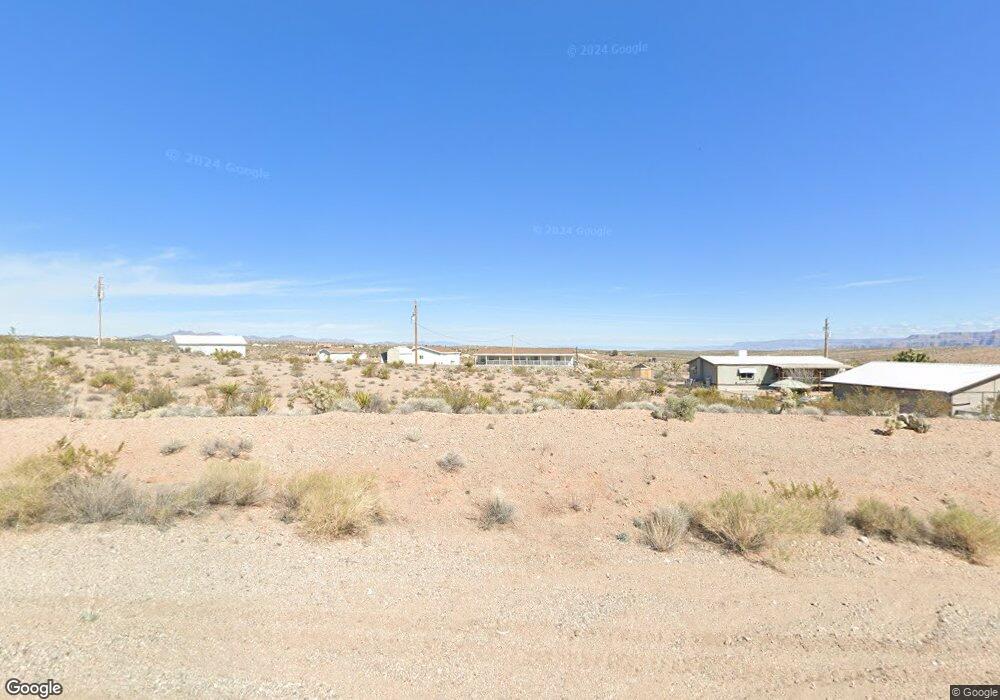
1221 Mohawk Dr Meadview, AZ 86444
Estimated Value: $198,000
Studio
--
Bath
--
Sq Ft
0.49
Acres
About This Home
This home is located at 1221 Mohawk Dr, Meadview, AZ 86444 and is currently estimated at $198,000. 1221 Mohawk Dr is a home located in Mohave County with nearby schools including Cerbat Elementary School, Kingman Middle School, and Kingman High School.
Ownership History
Date
Name
Owned For
Owner Type
Purchase Details
Closed on
Apr 17, 2021
Sold by
Camanto Sukarno
Bought by
Gray Jeffrey T
Current Estimated Value
Purchase Details
Closed on
Feb 23, 2021
Sold by
Ace Land Investments Llc
Bought by
Camanto Sukarno
Purchase Details
Closed on
Feb 8, 2021
Sold by
Ace Land Investments Llc
Bought by
Camanto Sukarno
Purchase Details
Closed on
Aug 18, 2020
Sold by
Hysell Neil Liewellyn and Hy Janet
Bought by
Ace Land Investments Llc
Purchase Details
Closed on
Feb 6, 2004
Sold by
Higashiguchi Leichi and Higashiguchi Mildred
Bought by
Hysell Neil L and Hysell Janet Hepburn
Create a Home Valuation Report for This Property
The Home Valuation Report is an in-depth analysis detailing your home's value as well as a comparison with similar homes in the area
Home Values in the Area
Average Home Value in this Area
Purchase History
| Date | Buyer | Sale Price | Title Company |
|---|---|---|---|
| Gray Jeffrey T | -- | None Available | |
| Camanto Sukarno | -- | None Listed On Document | |
| Camanto Sukarno | $2,500 | None Available | |
| Ace Land Investments Llc | -- | None Available | |
| Hysell Neil L | $1,500 | First American Title Ins Co |
Source: Public Records
Tax History
| Year | Tax Paid | Tax Assessment Tax Assessment Total Assessment is a certain percentage of the fair market value that is determined by local assessors to be the total taxable value of land and additions on the property. | Land | Improvement |
|---|---|---|---|---|
| 2026 | -- | -- | -- | -- |
| 2025 | $77 | $1,106 | $0 | $0 |
| 2024 | $77 | $1,131 | $0 | $0 |
| 2023 | $77 | $1,099 | $0 | $0 |
| 2022 | $71 | $968 | $0 | $0 |
| 2021 | $74 | $762 | $0 | $0 |
| 2019 | $93 | $958 | $0 | $0 |
| 2018 | $118 | $1,153 | $0 | $0 |
| 2017 | $108 | $1,061 | $0 | $0 |
| 2016 | $110 | $1,061 | $0 | $0 |
| 2015 | $120 | $1,655 | $0 | $0 |
Source: Public Records
Map
Nearby Homes
- 1105 & 1145 E Stanton Dr
- 1210 Hance Dr Unit 158
- 1360 Dellenbaugh Dr
- 1305 Dellenbaugh Dr
- 765 Bishop Dr
- 1150 Price Dr
- 1205 E Spencer Dr
- 715 Sumner Dr
- 1260 Moqui Ln
- 670 Sumner Dr Unit 154
- 790 Yates Dr
- 590 Sumner Dr
- 760 Supai Dr
- 715 Whitmore Dr
- 595 Dellenbaugh Dr
- 900 Spencer Dr
- 1280 Diamond Creek Dr
- 470 E Sumner Dr
- 845 E Supai Dr
- 1360 Diamond Creek Dr
- 1165 E Mohawk Dr
- 1120 E Mohawk Dr
- 1200 E Spencer Way
- 1220 E Mohawk Dr
- 1180 Mohawk Dr
- 1125 Mohawk Dr
- 1125 E Mohawk Dr
- 1320 Mohawk Dr
- 1320 E Spencer Way
- 1320 E Spencer Way
- 1120 Mohawk Dr
- 1105 Mohawk Dr
- 1140 E Mohawk Dr
- 1185 Stanton Dr
- 1265 Stanton Dr
- 1285 Stanton Dr
- 1165 Stanton Dr
- 1320 Spencer Way
- 1365 Mohawk Dr
- 1145 Stanton Dr
Your Personal Tour Guide
Ask me questions while you tour the home.