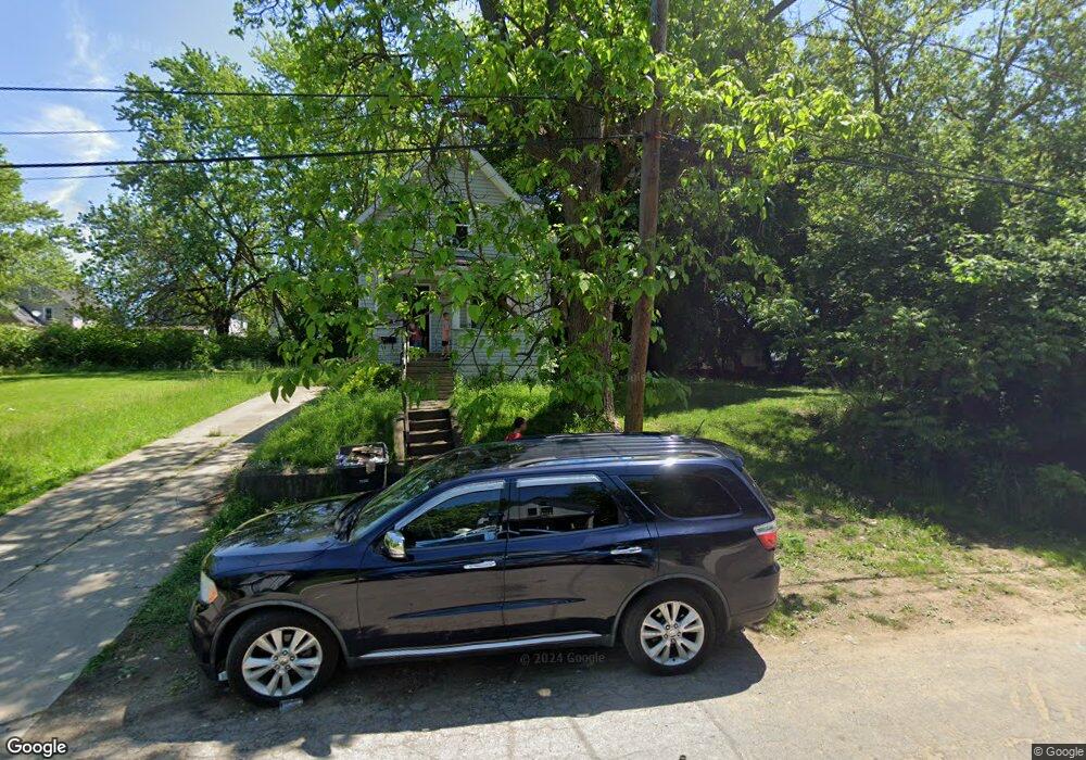
1221 Moore St Akron, OH 44301
Downtown Akron Neighborhood
2
Beds
1
Bath
648
Sq Ft
3,049
Sq Ft
About This Home
This home is located at 1221 Moore St, Akron, OH 44301. 1221 Moore St is a home located in Summit County with nearby schools including McEbright Elementary School, Kenmore Garfield Community Learning Center, and Main Preparatory Academy.
Ownership History
Date
Name
Owned For
Owner Type
Purchase Details
Closed on
May 7, 2020
Sold by
Barr Terry and Scalise Kristen M
Bought by
Summit County Land Reutilization Corp
Purchase Details
Closed on
Apr 30, 2007
Sold by
Meyers Gretchen
Bought by
Barr Terry
Purchase Details
Closed on
Nov 5, 2001
Sold by
Property Enhancements Inc
Bought by
Meyers Gretchen and 9-1221 Moore Street Land Trust
Purchase Details
Closed on
Mar 1, 2001
Sold by
Bank One National Assn
Bought by
Property Enchancements Inc
Home Financials for this Owner
Home Financials are based on the most recent Mortgage that was taken out on this home.
Original Mortgage
$17,910
Interest Rate
7.13%
Mortgage Type
Purchase Money Mortgage
Purchase Details
Closed on
Oct 12, 2000
Sold by
Zellouis Easterling
Bought by
Bank One National Assn and The First National Bank Of Chicago
Purchase Details
Closed on
Apr 10, 1996
Sold by
Easterling Zellouis
Bought by
Dianne L Mott Trustee
Create a Home Valuation Report for This Property
The Home Valuation Report is an in-depth analysis detailing your home's value as well as a comparison with similar homes in the area
Home Values in the Area
Average Home Value in this Area
Purchase History
| Date | Buyer | Sale Price | Title Company |
|---|---|---|---|
| Summit County Land Reutilization Corp | -- | None Available | |
| Barr Terry | $2,300 | Rels Title | |
| Meyers Gretchen | $19,900 | Advance Title Agency Inc | |
| Property Enchancements Inc | $19,900 | Beacon Title Agency Inc | |
| Bank One National Assn | $20,000 | -- | |
| Dianne L Mott Trustee | $6,280 | -- |
Source: Public Records
Mortgage History
| Date | Status | Borrower | Loan Amount |
|---|---|---|---|
| Previous Owner | Property Enchancements Inc | $17,910 |
Source: Public Records
Tax History
| Year | Tax Paid | Tax Assessment Tax Assessment Total Assessment is a certain percentage of the fair market value that is determined by local assessors to be the total taxable value of land and additions on the property. | Land | Improvement |
|---|---|---|---|---|
| 2024 | $40 | $3,185 | $3,185 | -- |
| 2023 | $40 | $3,185 | $3,185 | -- |
| 2022 | $40 | $2,678 | $2,678 | $0 |
| 2021 | $40 | $2,678 | $2,678 | $0 |
| 2020 | $295 | $2,680 | $2,680 | $0 |
| 2019 | $295 | $3,510 | $3,510 | $0 |
| 2018 | $292 | $3,510 | $3,510 | $0 |
| 2017 | $296 | $3,510 | $3,510 | $0 |
| 2016 | $296 | $3,510 | $3,510 | $0 |
| 2015 | $296 | $3,510 | $3,510 | $0 |
| 2014 | $701 | $3,510 | $3,510 | $0 |
| 2013 | $4,582 | $3,510 | $3,510 | $0 |
Source: Public Records
Map
Nearby Homes
- 1290 Marcy St
- 1133 Bellows St
- 1208 Bellows St Unit 1210
- 1332 Highbrook St
- 1235 Bellows St
- 147 Brighton Dr
- 891 Grant St
- 413 Stanton Ave
- 1203 Atwood Ave
- 901 Sherman St
- 26 Brighton Dr
- 1100 Beardsley St
- 22 Brighton Dr
- 154 E Archwood Ave
- 436 Cole Ave
- 1012 Kling St
- 1345 Bellows St
- 1241 Wilbur Ave
- 888 Beardsley St
- 121 Lake St
Your Personal Tour Guide
Ask me questions while you tour the home.