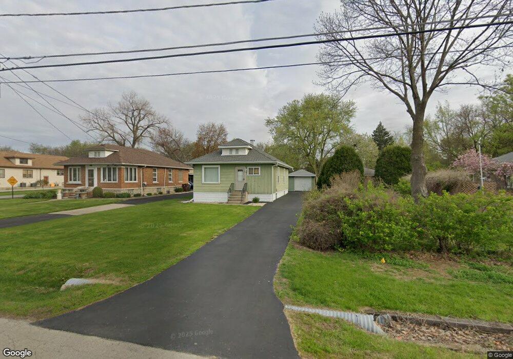
1221 New Lenox Rd Joliet, IL 60433
Southeast Joliet NeighborhoodEstimated Value: $140,000 - $217,000
--
Bed
--
Bath
--
Sq Ft
0.37
Acres
About This Home
This home is located at 1221 New Lenox Rd, Joliet, IL 60433 and is currently estimated at $166,165. 1221 New Lenox Rd is a home with nearby schools including T.E. Culbertson Elementary School, Washington Jr. High School and Academy, and Joliet Central High School.
Ownership History
Date
Name
Owned For
Owner Type
Purchase Details
Closed on
Jul 26, 2016
Sold by
Sturdy Marlene and Angeline Scaccia Trust
Bought by
Tuntland Dean
Current Estimated Value
Home Financials for this Owner
Home Financials are based on the most recent Mortgage that was taken out on this home.
Original Mortgage
$66,000
Outstanding Balance
$54,120
Interest Rate
4.37%
Mortgage Type
New Conventional
Estimated Equity
$112,045
Purchase Details
Closed on
Feb 11, 2014
Sold by
Buell Matthew J
Bought by
Scaccia Angeline and Angeline Scaccia Trust
Create a Home Valuation Report for This Property
The Home Valuation Report is an in-depth analysis detailing your home's value as well as a comparison with similar homes in the area
Home Values in the Area
Average Home Value in this Area
Purchase History
| Date | Buyer | Sale Price | Title Company |
|---|---|---|---|
| Tuntland Dean | $70,000 | Chicago Title | |
| Scaccia Angeline | -- | None Available |
Source: Public Records
Mortgage History
| Date | Status | Borrower | Loan Amount |
|---|---|---|---|
| Open | Tuntland Dean | $66,000 |
Source: Public Records
Tax History Compared to Growth
Tax History
| Year | Tax Paid | Tax Assessment Tax Assessment Total Assessment is a certain percentage of the fair market value that is determined by local assessors to be the total taxable value of land and additions on the property. | Land | Improvement |
|---|---|---|---|---|
| 2024 | $2,929 | $43,453 | $8,005 | $35,448 |
| 2023 | $2,929 | $38,607 | $7,112 | $31,495 |
| 2022 | $2,664 | $34,922 | $6,433 | $28,489 |
| 2021 | $2,498 | $32,616 | $6,008 | $26,608 |
| 2020 | $2,357 | $30,975 | $5,706 | $25,269 |
| 2019 | $2,175 | $28,787 | $5,303 | $23,484 |
| 2018 | $1,967 | $25,829 | $4,777 | $21,052 |
| 2017 | $1,808 | $23,483 | $4,343 | $19,140 |
| 2016 | $2,251 | $20,899 | $3,967 | $16,932 |
| 2015 | -- | $19,661 | $3,761 | $15,900 |
Source: Public Records
Map
Nearby Homes
- 0 Hermans Ln
- 806 Spencer St
- Lot Spencer Rd
- 810 Peale St
- 309 Oakview Ave
- 302 S Briggs St
- 106 Hillsdale Rd
- 111 Court St
- 1858 David Ave
- 1217 Chippewa St
- 1516 E Washington St
- 1100 E Washington St
- 204 Luana Rd
- 657 Whitley Ave
- 120 Anderson Ave
- 608 Whitley Ave
- 110 Arizona Ave
- 4 Peale St
- 2 Peale St
- 507 Whitley Ave
- 1219 New Lenox Rd
- 1219 New Lenox Rd
- 1219 New Lenox Rd
- 1219 New Lenox Rd
- 1225 New Lenox Rd
- 1217 New Lenox Rd
- 1220 New Lenox Rd
- 1216 New Lenox Rd
- 1216 New Lenox Rd
- 826 Hermans Ln
- 1213 New Lenox Rd
- 825 Hermans Ln
- 1309 New Lenox Rd
- 1214 New Lenox Rd
- 1310 New Lenox Rd
- 1202 New Lenox Rd
- 1311 New Lenox Rd
- 822 Hermans Ln
- 1314 New Lenox Rd
- 823 Hermans Ln