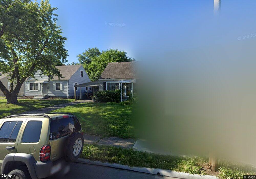
1221 Pauline Ave Columbus, OH 43224
North Linden NeighborhoodEstimated Value: $191,468 - $218,000
4
Beds
2
Baths
1,080
Sq Ft
$191/Sq Ft
Est. Value
About This Home
This home is located at 1221 Pauline Ave, Columbus, OH 43224 and is currently estimated at $205,867, approximately $190 per square foot. 1221 Pauline Ave is a home located in Franklin County with nearby schools including Huy Elementary School, Medina Middle School, and Mifflin High School.
Ownership History
Date
Name
Owned For
Owner Type
Purchase Details
Closed on
Feb 25, 1999
Sold by
Conti Catherine A
Bought by
Fye Michelle L
Current Estimated Value
Home Financials for this Owner
Home Financials are based on the most recent Mortgage that was taken out on this home.
Original Mortgage
$76,650
Outstanding Balance
$18,678
Interest Rate
6.83%
Mortgage Type
FHA
Estimated Equity
$187,189
Purchase Details
Closed on
Nov 4, 1992
Bought by
Conti Catherine A
Purchase Details
Closed on
Jul 15, 1992
Purchase Details
Closed on
Apr 24, 1992
Create a Home Valuation Report for This Property
The Home Valuation Report is an in-depth analysis detailing your home's value as well as a comparison with similar homes in the area
Home Values in the Area
Average Home Value in this Area
Purchase History
| Date | Buyer | Sale Price | Title Company |
|---|---|---|---|
| Fye Michelle L | $77,700 | Chicago Title West | |
| Conti Catherine A | $58,000 | -- | |
| -- | -- | -- | |
| -- | -- | -- |
Source: Public Records
Mortgage History
| Date | Status | Borrower | Loan Amount |
|---|---|---|---|
| Open | Fye Michelle L | $76,650 |
Source: Public Records
Tax History Compared to Growth
Tax History
| Year | Tax Paid | Tax Assessment Tax Assessment Total Assessment is a certain percentage of the fair market value that is determined by local assessors to be the total taxable value of land and additions on the property. | Land | Improvement |
|---|---|---|---|---|
| 2024 | $2,462 | $54,850 | $14,910 | $39,940 |
| 2023 | $2,430 | $54,845 | $14,910 | $39,935 |
| 2022 | $1,714 | $33,040 | $7,210 | $25,830 |
| 2021 | $1,717 | $33,040 | $7,210 | $25,830 |
| 2020 | $1,719 | $33,040 | $7,210 | $25,830 |
| 2019 | $1,552 | $25,590 | $5,780 | $19,810 |
| 2018 | $1,531 | $25,590 | $5,780 | $19,810 |
| 2017 | $1,609 | $25,590 | $5,780 | $19,810 |
| 2016 | $1,667 | $25,170 | $5,810 | $19,360 |
| 2015 | $1,514 | $25,170 | $5,810 | $19,360 |
| 2014 | $1,517 | $25,170 | $5,810 | $19,360 |
| 2013 | $788 | $26,495 | $6,125 | $20,370 |
Source: Public Records
Map
Nearby Homes
- 1283 Pauline Ave
- 1279 Carolyn Ave
- 1090 Pauline Ave
- 1258 Urana Ave
- 1270 Urana Ave
- 1126 Piedmont Rd
- 1120 Piedmont Rd
- 3401 Walmar Dr
- 3519 Gerbert Rd
- 3352 Karl Rd
- 3585 Gerbert Rd
- 1382 Elmore Ave
- 3491 Ontario St
- 3471 Ontario St
- 3268 McGuffey Rd
- 3480 Maize Rd
- 1507 Elmore Ave
- 3808 Maize Rd
- 1303 Oakland Park Ave
- 886 Carolyn Ave
- 1227 Pauline Ave
- 1215 Pauline Ave
- 1235 Pauline Ave
- 1209 Pauline Ave
- 1241 Pauline Ave
- 1203 Pauline Ave
- 1220 Carolyn Ave
- 1208 Carolyn Ave
- 1226 Carolyn Ave
- 1202 Carolyn Ave
- 1247 Pauline Ave
- 1197 Pauline Ave
- 1226 Pauline Ave
- 1218 Pauline Ave
- 1230 Pauline Ave
- 1232 Carolyn Ave
- 1212 Pauline Ave
- 1196 Carolyn Ave
- 1238 Pauline Ave