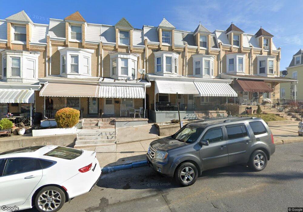
1221 Perry St Reading, PA 19604
College Heights NeighborhoodEstimated Value: $154,000 - $242,000
5
Beds
1
Bath
1,748
Sq Ft
$115/Sq Ft
Est. Value
About This Home
This home is located at 1221 Perry St, Reading, PA 19604 and is currently estimated at $201,478, approximately $115 per square foot. 1221 Perry St is a home located in Berks County with nearby schools including Twelfth & Marion Elementary School, Northeast Middle School, and Reading Senior High School.
Ownership History
Date
Name
Owned For
Owner Type
Purchase Details
Closed on
Oct 27, 2006
Sold by
Druzba Edward D and Druzba Elaine E
Bought by
Familia Victor and Familia Augusta Del Carmen
Current Estimated Value
Home Financials for this Owner
Home Financials are based on the most recent Mortgage that was taken out on this home.
Original Mortgage
$25,000
Interest Rate
6.11%
Mortgage Type
New Conventional
Create a Home Valuation Report for This Property
The Home Valuation Report is an in-depth analysis detailing your home's value as well as a comparison with similar homes in the area
Home Values in the Area
Average Home Value in this Area
Purchase History
| Date | Buyer | Sale Price | Title Company |
|---|---|---|---|
| Familia Victor | $70,000 | None Available |
Source: Public Records
Mortgage History
| Date | Status | Borrower | Loan Amount |
|---|---|---|---|
| Closed | Familia Victor | $25,000 |
Source: Public Records
Tax History
| Year | Tax Paid | Tax Assessment Tax Assessment Total Assessment is a certain percentage of the fair market value that is determined by local assessors to be the total taxable value of land and additions on the property. | Land | Improvement |
|---|---|---|---|---|
| 2025 | $1,192 | $43,900 | $15,000 | $28,900 |
| 2024 | $1,949 | $43,900 | $15,000 | $28,900 |
| 2023 | $1,919 | $43,900 | $15,000 | $28,900 |
| 2022 | $1,919 | $43,900 | $15,000 | $28,900 |
| 2021 | $1,919 | $43,900 | $15,000 | $28,900 |
| 2020 | $1,900 | $43,900 | $15,000 | $28,900 |
| 2019 | $1,900 | $43,900 | $15,000 | $28,900 |
| 2018 | $1,900 | $43,900 | $15,000 | $28,900 |
| 2017 | $1,887 | $43,900 | $15,000 | $28,900 |
| 2016 | $1,078 | $43,900 | $15,000 | $28,900 |
| 2015 | $1,078 | $43,900 | $15,000 | $28,900 |
| 2014 | $992 | $43,900 | $15,000 | $28,900 |
Source: Public Records
Map
Nearby Homes
- 1231 Perry St
- 1361 Locust St
- 1343 Mulberry St
- 1347 Mulberry St
- 1500 N 12th St
- 1209 Linden St
- 1357 N 10th St
- 1200 Hampden Blvd
- 1302 N 10th St
- 1139 Mulberry St
- 1421 Palm St
- 910 Pike St
- 1240 Spring St
- 1624 N 10th St
- 942 N 11th St
- 1217 Windsor St
- 1649 N 9th St
- 838 N 11th St
- 1722 Olive St
- 1115 Douglass St
Your Personal Tour Guide
Ask me questions while you tour the home.