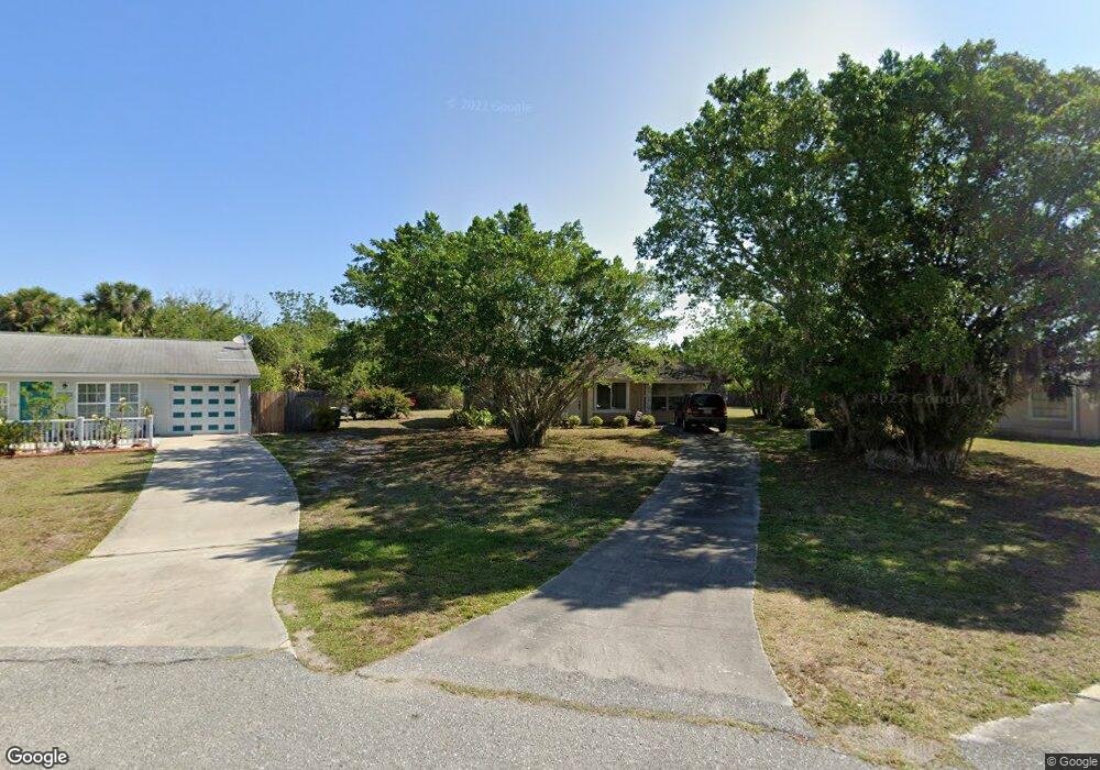
1221 Price Cir NW Port Charlotte, FL 33948
Estimated Value: $160,422 - $232,000
2
Beds
1
Bath
1,462
Sq Ft
$133/Sq Ft
Est. Value
About This Home
This home is located at 1221 Price Cir NW, Port Charlotte, FL 33948 and is currently estimated at $193,856, approximately $132 per square foot. 1221 Price Cir NW is a home located in Charlotte County with nearby schools including Liberty Elementary School, Murdock Middle School, and Port Charlotte High School.
Ownership History
Date
Name
Owned For
Owner Type
Purchase Details
Closed on
Dec 31, 2015
Sold by
Lovegrove Veronica A
Bought by
Cs Td Mad
Current Estimated Value
Purchase Details
Closed on
Aug 13, 2001
Sold by
Kern Harry
Bought by
Lovegrove James G and Lovegrove Veronica A
Home Financials for this Owner
Home Financials are based on the most recent Mortgage that was taken out on this home.
Original Mortgage
$34,000
Interest Rate
7.19%
Purchase Details
Closed on
Feb 16, 2001
Sold by
Kern Anna
Bought by
Kern Harry and Kern David
Create a Home Valuation Report for This Property
The Home Valuation Report is an in-depth analysis detailing your home's value as well as a comparison with similar homes in the area
Home Values in the Area
Average Home Value in this Area
Purchase History
| Date | Buyer | Sale Price | Title Company |
|---|---|---|---|
| Cs Td Mad | $100 | None Listed On Document | |
| Lovegrove James G | $42,500 | -- | |
| Limegreve James G | -- | -- | |
| Kern Harry | -- | -- |
Source: Public Records
Mortgage History
| Date | Status | Borrower | Loan Amount |
|---|---|---|---|
| Previous Owner | Limegreve James G | $34,000 |
Source: Public Records
Tax History Compared to Growth
Tax History
| Year | Tax Paid | Tax Assessment Tax Assessment Total Assessment is a certain percentage of the fair market value that is determined by local assessors to be the total taxable value of land and additions on the property. | Land | Improvement |
|---|---|---|---|---|
| 2025 | $2,276 | $100,891 | $11,475 | $89,416 |
| 2023 | $2,271 | $97,021 | $12,325 | $84,696 |
| 2022 | $2,189 | $108,289 | $10,625 | $97,664 |
| 2021 | $1,987 | $82,108 | $6,630 | $75,478 |
| 2020 | $1,891 | $81,041 | $6,375 | $74,666 |
| 2019 | $1,767 | $78,907 | $6,375 | $72,532 |
| 2018 | $1,548 | $70,815 | $4,675 | $66,140 |
| 2017 | $1,418 | $56,883 | $4,250 | $52,633 |
| 2016 | $1,403 | $47,276 | $0 | $0 |
| 2015 | $1,309 | $42,978 | $0 | $0 |
| 2014 | $1,152 | $39,071 | $0 | $0 |
Source: Public Records
Map
Nearby Homes
- 19077 Cochran Blvd
- 1237 Pike Ave NW
- 2024 Pellam Blvd
- 16054 Ivy Ridge Ct
- 1181 Seacrest Dr NW
- 2080 Pellam Blvd
- 2088 Pellam Blvd
- 2193 Hyatt Dr
- 2201 Hyatt Dr
- 2070 Carpetgreen St
- 18503 Barbara Ave
- 1190 Seacrest Dr NW
- 948 Columbia Terrace
- 906 Bayard Terrace
- 2119 Pellam Blvd
- 1035 Red Bay Terrace NW
- 948 Andrews Ave NW
- 1073 Arden Terrace NW
- 931 Red Bay Terrace NW
- 2216 Pellam Blvd
- 1217 Price Cir NW
- 1227 Price Cir NW
- 1213 Price Cir NW
- 1231 Price Cir NW
- 1235 Price Cir NW
- 1209 Price Cir NW
- 19120 Cochran Blvd
- 1239 Price Cir NW
- 1205 Price Cir NW
- 19104 Cochran Blvd
- 1243 Price Cir NW
- 1250 Hillcrest Ave NW
- 1201 Price Cir NW
- 1286 Hillcrest Ave NW
- 1282 Hillcrest Ave NW
- 19096 Cochran Blvd
- 1292 Hillcrest Ave NW
- 1247 Price Cir NW
- 1302 Hillcrest Ave NW
- 1313 Hillcrest Ave NW