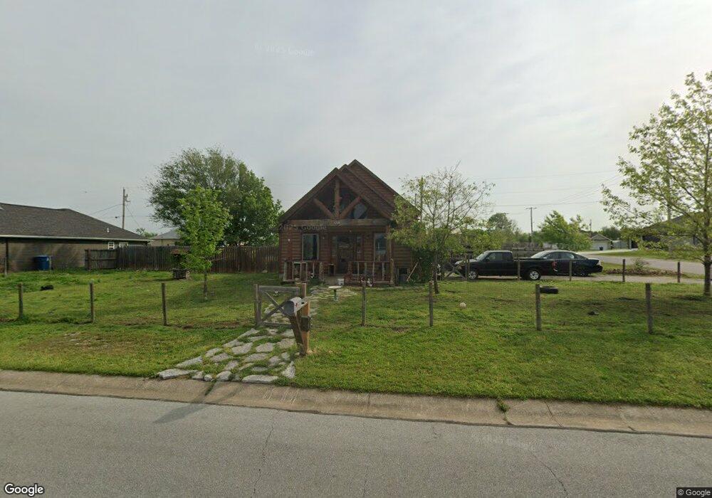
1221 Roland Ave Joplin, MO 64804
Harmony Heights NeighborhoodEstimated Value: $161,000 - $258,000
3
Beds
2
Baths
2,000
Sq Ft
$98/Sq Ft
Est. Value
About This Home
This home is located at 1221 Roland Ave, Joplin, MO 64804 and is currently estimated at $196,653, approximately $98 per square foot. 1221 Roland Ave is a home located in Jasper County with nearby schools including Kelsey Norman Elementary School, South Middle School, and Joplin High School.
Ownership History
Date
Name
Owned For
Owner Type
Purchase Details
Closed on
Oct 24, 2011
Sold by
Williams Daniel Delros and Williams Rochelle G
Bought by
Hammonds Stephen D and Hammonds Patricia A
Current Estimated Value
Purchase Details
Closed on
Feb 3, 2005
Sold by
Williams Daniel Delros and Williams Rochelle G
Bought by
Williams Daniel Delros and Williams Rochelle G
Home Financials for this Owner
Home Financials are based on the most recent Mortgage that was taken out on this home.
Original Mortgage
$102,327
Interest Rate
6.15%
Mortgage Type
Stand Alone Refi Refinance Of Original Loan
Create a Home Valuation Report for This Property
The Home Valuation Report is an in-depth analysis detailing your home's value as well as a comparison with similar homes in the area
Home Values in the Area
Average Home Value in this Area
Purchase History
| Date | Buyer | Sale Price | Title Company |
|---|---|---|---|
| Hammonds Stephen D | -- | None Available | |
| Williams Daniel Delros | -- | Northwest Title & Escrow |
Source: Public Records
Mortgage History
| Date | Status | Borrower | Loan Amount |
|---|---|---|---|
| Previous Owner | Williams Daniel Delros | $102,327 |
Source: Public Records
Tax History Compared to Growth
Tax History
| Year | Tax Paid | Tax Assessment Tax Assessment Total Assessment is a certain percentage of the fair market value that is determined by local assessors to be the total taxable value of land and additions on the property. | Land | Improvement |
|---|---|---|---|---|
| 2024 | $751 | $16,280 | $3,120 | $13,160 |
| 2023 | $751 | $16,280 | $3,120 | $13,160 |
| 2022 | $747 | $16,240 | $3,120 | $13,120 |
| 2021 | $742 | $16,240 | $3,120 | $13,120 |
| 2020 | $705 | $15,100 | $3,120 | $11,980 |
| 2019 | $707 | $15,100 | $3,120 | $11,980 |
| 2018 | $696 | $14,930 | $0 | $0 |
| 2017 | $699 | $14,930 | $0 | $0 |
| 2016 | $695 | $15,050 | $0 | $0 |
| 2015 | $694 | $15,050 | $0 | $0 |
| 2014 | $694 | $15,050 | $0 | $0 |
Source: Public Records
Map
Nearby Homes
- 2415 New Hampshire Ave
- 2414 Montana Place
- 2419 Montana Place
- 2521 Wisconsin Ave
- 1604 E 20th St
- 2705 S Michigan Ave
- 2818-32 E 19th St
- 2514 Indiana Ave
- 2708 Wisconsin Ave
- 2032 E 24th St
- 2722 Wisconsin Ave
- 1928 Ohio Ave
- 1821 S Indiana Ave
- 2801 S Michigan Ave
- 2730 Massachusetts Ave
- 2804 Massachusetts Ave
- 1802 Connecticut Ave
- 2210 S Mcconnell Ave
- 1730 S Delaware Ave
- 1713 Indiana Ave
- 1219 Roland Ave
- 1238 Montana Place
- 1236 Montana Place
- 1325 E 24th St
- 2401 New Hampshire Ave
- 1217 Roland Ave
- 1224 Roland Ave
- 1234 Montana Place
- 2402 New Hampshire Ave
- 1430 E 24th St Unit 142
- 1220 Roland Ave
- 1232 Montana Place
- 2405 New Hampshire Ave
- 1315 E 24th St
- 1239 Montana Place
- 1215 Roland Ave
- 2402 Montana Place
- 1312 E 24th St
- 1235 Montana Place
- 2401 Montana Place