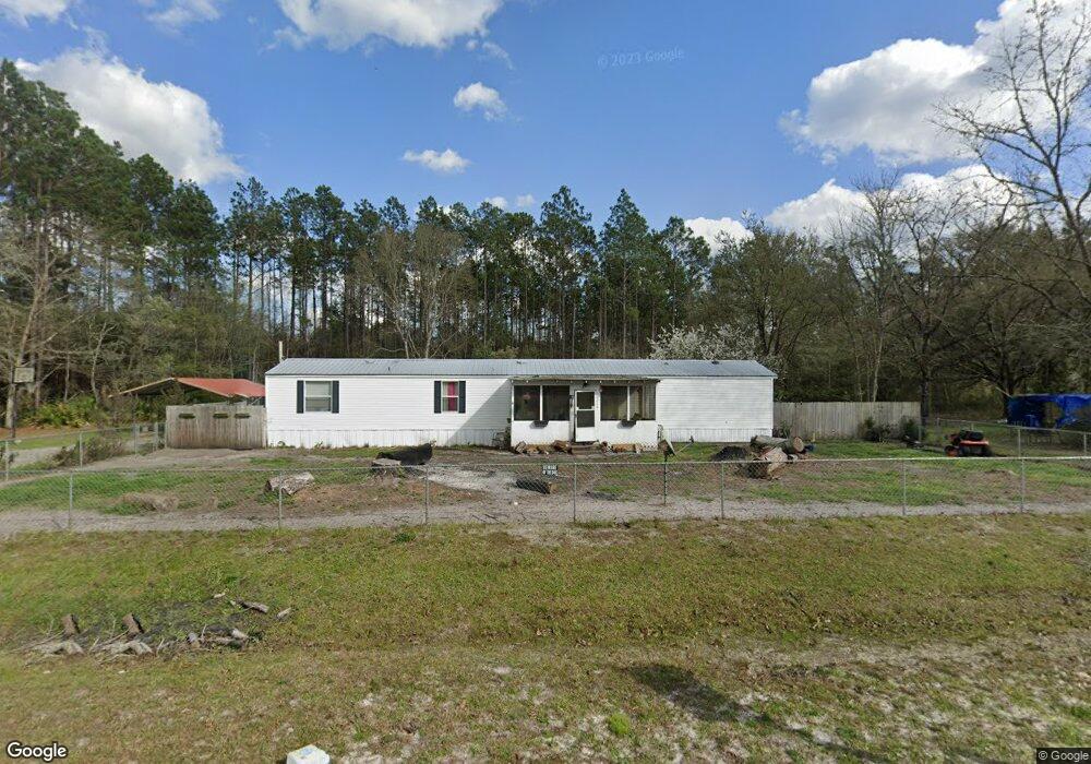
12210 Browntown Rd Hortense, GA 31543
Estimated Value: $54,760 - $169,000
3
Beds
2
Baths
1,216
Sq Ft
$93/Sq Ft
Est. Value
About This Home
This home is located at 12210 Browntown Rd, Hortense, GA 31543 and is currently estimated at $113,690, approximately $93 per square foot. 12210 Browntown Rd is a home with nearby schools including Waynesville Primary School, Atkinson Elementary School, and Brantley County Middle School.
Ownership History
Date
Name
Owned For
Owner Type
Purchase Details
Closed on
Dec 1, 2023
Sold by
Dixon Janice
Bought by
Stokes Robert A
Current Estimated Value
Purchase Details
Closed on
Jul 5, 2022
Sold by
Brantley County Tax Comm
Bought by
Dixon Jason and Dixon Janice
Purchase Details
Closed on
Jul 24, 2017
Bought by
Stokes Robert A
Purchase Details
Closed on
Jul 5, 2016
Sold by
Robert
Bought by
Johns Land Co Inc
Purchase Details
Closed on
Aug 22, 2006
Sold by
Sumner Retha Lee
Bought by
Stokes Robert Allen
Create a Home Valuation Report for This Property
The Home Valuation Report is an in-depth analysis detailing your home's value as well as a comparison with similar homes in the area
Home Values in the Area
Average Home Value in this Area
Purchase History
| Date | Buyer | Sale Price | Title Company |
|---|---|---|---|
| Stokes Robert A | $4,100 | -- | |
| Dixon Jason | -- | -- | |
| Stokes Robert A | $3,252 | -- | |
| Johns Land Co Inc | -- | -- | |
| Stokes Robert Allen | $22,500 | -- |
Source: Public Records
Tax History Compared to Growth
Tax History
| Year | Tax Paid | Tax Assessment Tax Assessment Total Assessment is a certain percentage of the fair market value that is determined by local assessors to be the total taxable value of land and additions on the property. | Land | Improvement |
|---|---|---|---|---|
| 2024 | $205 | $5,689 | $3,080 | $2,609 |
| 2023 | $152 | $3,929 | $1,320 | $2,609 |
| 2022 | $525 | $8,704 | $1,320 | $7,384 |
| 2021 | $510 | $8,704 | $1,320 | $7,384 |
| 2020 | $519 | $8,773 | $1,320 | $7,453 |
| 2019 | $524 | $8,935 | $1,320 | $7,615 |
| 2018 | $304 | $8,978 | $2,372 | $6,606 |
| 2016 | $510 | $8,748 | $2,372 | $6,376 |
| 2015 | -- | $8,747 | $0 | $0 |
Source: Public Records
Map
Nearby Homes
- 288 Rattler Run
- 0 Rattler Run
- 43 Dutch Rd
- 277 Carl Burney Rd
- 235 Gibson Cir
- 647 Gibson Cir
- 00 Hwy #32 Hwy #99 Tract 1
- 00 Hwy #32 Hwy #99 Tract 2
- 2101 Albert Gibson Rd
- 0 Post Rd Unit 1648928
- 6406 Mount Pleasant Rd
- 3069 Mineral Springs Rd
- 7535 Browntown Rd
- 11211 Georgia 110
- 0 Heritage Cir Unit 1655955
- 0 Heritage Cir Unit 1656067
- 0 Heritage Cir Unit 1655952
- 0 Heritage Cir Unit 1656069
- 0 Heritage Cir Unit 1656065
- 6432 Mount Pleasant Rd
- 12166 Browntown Rd
- 12256 Browntown Rd
- 12136 Browntown Rd
- 12086 Browntown Rd
- 12155 Browntown Rd
- 12155 Browntown Rd
- 12310 Browntown Rd
- 197 Palmetto Ln
- 12060 Browntown Rd
- 99 Bryan Rd
- 11847 Browntown Rd
- 1024 Baker Hill Rd
- 12368 Browntown Rd
- 958 Baker Hill Rd
- 958 Baker Hill Rd
- 11870 Browntown Rd
- 906 Baker Hill Rd
- 27 Ponderosa Dr
- 11785 Browntown Rd
- 762 Baker Hill Rd