Estimated Value: $35,000 - $50,000
--
Bed
--
Bath
--
Sq Ft
1.04
Acres
About This Home
This home is located at 12210 S Bensch Cir Unit 340, Mayer, AZ 86333 and is currently estimated at $40,438. 12210 S Bensch Cir Unit 340 is a home located in Yavapai County with nearby schools including Mayer Elementary School, Mayer High School, and Spring Ridge Academy.
Ownership History
Date
Name
Owned For
Owner Type
Purchase Details
Closed on
Feb 13, 2024
Sold by
Nystrom Susan K and Nystrom David D
Bought by
Bergeron Peter Arthur
Current Estimated Value
Purchase Details
Closed on
Feb 9, 2024
Sold by
Nystrom Susan K and Nystrom David D
Bought by
Bergeron Peter Arthur
Purchase Details
Closed on
Aug 2, 2005
Sold by
Morin John and Morin Judy Ables
Bought by
Nystrom David D and Nystrom Susan K
Home Financials for this Owner
Home Financials are based on the most recent Mortgage that was taken out on this home.
Original Mortgage
$94,525
Interest Rate
5.87%
Mortgage Type
Fannie Mae Freddie Mac
Purchase Details
Closed on
Sep 13, 2002
Sold by
First American Title Ins Agency Of Yavap
Bought by
Morin John A and Ables Morin Judy
Home Financials for this Owner
Home Financials are based on the most recent Mortgage that was taken out on this home.
Original Mortgage
$67,200
Interest Rate
5.95%
Mortgage Type
Seller Take Back
Create a Home Valuation Report for This Property
The Home Valuation Report is an in-depth analysis detailing your home's value as well as a comparison with similar homes in the area
Home Values in the Area
Average Home Value in this Area
Purchase History
| Date | Buyer | Sale Price | Title Company |
|---|---|---|---|
| Bergeron Peter Arthur | $35,000 | Lawyers Title | |
| Bergeron Peter Arthur | $35,000 | Lawyers Title | |
| Nystrom David D | $99,500 | First American Title Ins | |
| Morin John A | -- | First American Title Ins Co |
Source: Public Records
Mortgage History
| Date | Status | Borrower | Loan Amount |
|---|---|---|---|
| Previous Owner | Nystrom David D | $94,525 | |
| Previous Owner | Morin John A | $67,200 |
Source: Public Records
Tax History Compared to Growth
Tax History
| Year | Tax Paid | Tax Assessment Tax Assessment Total Assessment is a certain percentage of the fair market value that is determined by local assessors to be the total taxable value of land and additions on the property. | Land | Improvement |
|---|---|---|---|---|
| 2026 | $185 | -- | -- | -- |
| 2024 | $178 | -- | -- | -- |
| 2023 | $183 | $3,682 | $3,682 | $0 |
| 2022 | $178 | $3,053 | $3,053 | $0 |
| 2021 | $184 | $2,726 | $2,726 | $0 |
| 2020 | $178 | $0 | $0 | $0 |
| 2019 | $176 | $0 | $0 | $0 |
| 2018 | $170 | $0 | $0 | $0 |
| 2017 | $177 | $0 | $0 | $0 |
| 2016 | $170 | $0 | $0 | $0 |
| 2015 | -- | $0 | $0 | $0 |
| 2014 | -- | $0 | $0 | $0 |
Source: Public Records
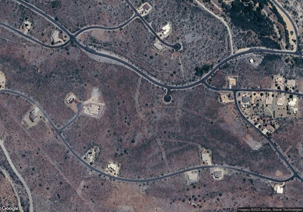
Map
Nearby Homes
- 12220 S Bensch Cir
- 12220 S Caballo Terrace
- 12220 S Caballo Terrace Unit 347
- 12270 S Countryside Cir
- 15425 E Upper Ridge Ln
- 15425 E Upper Ridge Ln Unit 411
- 15055 E Countryside Rd Unit 133
- 15265 E Countryside Rd
- 12280 S Caballo Terrace Unit 350
- 15450 E Upper Ridge Ln Unit 110
- 15450 E Upper Ridge Ln
- 12320 S Caballo Terrace Unit 352
- 15500 E Rough Rider Ridge
- 15580 E Rough Rider Ridge Unit 14
- 15580 E Rough Rider Ridge
- 12331 S Caballo Terrace Unit 314
- 15411 E Rough Rider Ridge
- 12371 S Caballo Terrace
- 15860 E Broken Bit Rd
- 15140 E Countryside Rd
- 12210 S Bensch Cir
- 12200 S Bensch Cir
- 12220 S Bensch Cir Unit 341
- 12225 S Bensch Cir
- 15631 E Rough Rider Ridge
- 15631 E Rough Rider Ridge Unit 8
- 15611 E Rough Rider Ridge
- 12265 S Countryside Cir Unit 373
- 12265 S Countryside Cir
- 12265 E Countryside Rd Unit 373
- 15360 E Countryside Rd
- 15360 E Countryside Rd Unit 361
- 15350 E Countryside Rd Unit 362
- 15350 E Countryside Rd
- 15645 E Rough Rider Ridge
- 15645 E Rough Rider Ridge Unit 9
- 15330 E Countryside Rd Unit 363
- 15330 E Countryside Rd
- 15320 E Countryside Rd
- 15320 E Countryside Rd Unit 364