12211 Dorsett Rd Austin, TX 78727
Milwood NeighborhoodEstimated Value: $540,000 - $1,714,128
--
Bed
2
Baths
28,237
Sq Ft
$40/Sq Ft
Est. Value
About This Home
This home is located at 12211 Dorsett Rd, Austin, TX 78727 and is currently estimated at $1,127,064, approximately $39 per square foot. 12211 Dorsett Rd is a home located in Travis County with nearby schools including Summitt Elementary School, Murchison Middle School, and Anderson High School.
Ownership History
Date
Name
Owned For
Owner Type
Purchase Details
Closed on
Jul 9, 1996
Sold by
Textruss Component Building Inc
Bought by
Doyle & Bryant Leasing & Services Inc
Current Estimated Value
Home Financials for this Owner
Home Financials are based on the most recent Mortgage that was taken out on this home.
Original Mortgage
$150,000
Interest Rate
8.02%
Mortgage Type
Purchase Money Mortgage
Create a Home Valuation Report for This Property
The Home Valuation Report is an in-depth analysis detailing your home's value as well as a comparison with similar homes in the area
Home Values in the Area
Average Home Value in this Area
Purchase History
| Date | Buyer | Sale Price | Title Company |
|---|---|---|---|
| Doyle & Bryant Leasing & Services Inc | -- | -- |
Source: Public Records
Mortgage History
| Date | Status | Borrower | Loan Amount |
|---|---|---|---|
| Closed | Doyle & Bryant Leasing & Services Inc | $150,000 |
Source: Public Records
Tax History Compared to Growth
Tax History
| Year | Tax Paid | Tax Assessment Tax Assessment Total Assessment is a certain percentage of the fair market value that is determined by local assessors to be the total taxable value of land and additions on the property. | Land | Improvement |
|---|---|---|---|---|
| 2025 | $38,645 | $1,700,000 | $651,483 | $1,048,517 |
| 2023 | $38,645 | $1,950,000 | $651,483 | $1,298,517 |
| 2022 | $42,978 | $2,176,167 | $651,483 | $1,524,684 |
| 2021 | $32,650 | $1,500,000 | $651,483 | $848,517 |
| 2020 | $32,173 | $1,500,000 | $651,483 | $848,517 |
| 2018 | $28,887 | $1,304,773 | $651,483 | $653,290 |
| 2017 | $39,259 | $1,760,397 | $651,483 | $1,108,914 |
| 2016 | $34,430 | $1,543,852 | $651,483 | $892,369 |
| 2015 | $20,648 | $1,141,378 | $488,613 | $652,765 |
| 2014 | $20,648 | $867,622 | $488,613 | $379,009 |
Source: Public Records
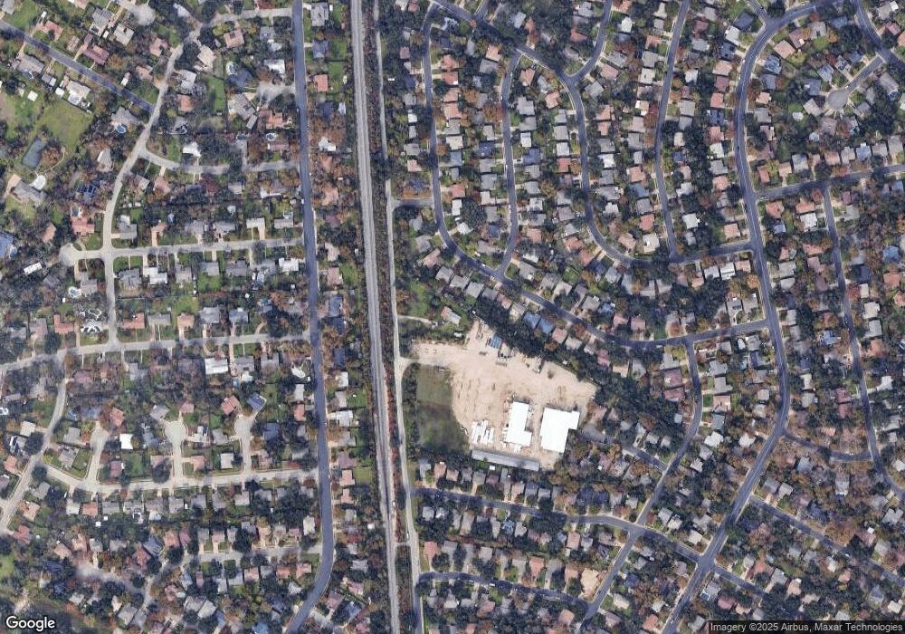
Map
Nearby Homes
- 12203 Arrowwood Dr
- 4812 Pelham Dr
- 12319 Wycliff Ln
- 12103 Wycliff Ln
- 12223 Antoinette Place
- 12404 Sceptre Cove
- 4006 Eton Ln
- 4400 Switch Willo Unit 21
- 3901 Skipton Dr
- 4612 Ganymede Dr
- 4508 Duval Rd Unit 6602
- 12005 Mustang Chase
- 4513 Sidereal Dr
- 12508 Terra Nova Ln
- 4317 Ganymede Dr
- 12302 Havelock Dr
- 5126 Ganymede Dr
- 11718 Running Fox Trail
- 11716 Running Fox Trail
- 5001 Dull Knife Dr
- 4509 Abelia Dr
- 4510 Abelia Dr
- 4507 Abelia Dr
- 4508 Abelia Dr
- 4512 Everest Ln
- 4510 Everest Ln
- 4600 Everest Ln
- 4508 Everest Ln
- 4602 Everest Ln
- 4505 Abelia Dr
- 4506 Abelia Dr
- 4506 Everest Ln
- 4604 Everest Ln
- 4504 Everest Ln
- 4609 Pelham Dr
- 4611 Pelham Dr
- 4504 Abelia Dr
- 4503 Abelia Dr
- 4606 Everest Ln
- 4607 Pelham Dr