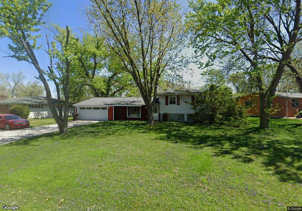
12211 Kingfisher Rd Crown Point, IN 46307
Estimated Value: $321,974 - $379,000
4
Beds
2
Baths
1,932
Sq Ft
$180/Sq Ft
Est. Value
About This Home
This home is located at 12211 Kingfisher Rd, Crown Point, IN 46307 and is currently estimated at $348,494, approximately $180 per square foot. 12211 Kingfisher Rd is a home located in Lake County with nearby schools including Lake Street Elementary School, Robert Taft Middle School, and Crown Point High School.
Ownership History
Date
Name
Owned For
Owner Type
Purchase Details
Closed on
Jul 13, 2007
Sold by
Henry Joseph W and Henry Christina L
Bought by
Henry Joseph W and Henry Christina L
Current Estimated Value
Create a Home Valuation Report for This Property
The Home Valuation Report is an in-depth analysis detailing your home's value as well as a comparison with similar homes in the area
Home Values in the Area
Average Home Value in this Area
Purchase History
| Date | Buyer | Sale Price | Title Company |
|---|---|---|---|
| Henry Joseph W | -- | Chicago Title Insurance Co |
Source: Public Records
Tax History Compared to Growth
Tax History
| Year | Tax Paid | Tax Assessment Tax Assessment Total Assessment is a certain percentage of the fair market value that is determined by local assessors to be the total taxable value of land and additions on the property. | Land | Improvement |
|---|---|---|---|---|
| 2024 | $4,913 | $249,200 | $42,200 | $207,000 |
| 2023 | $1,985 | $231,200 | $42,200 | $189,000 |
| 2022 | $1,984 | $213,100 | $42,200 | $170,900 |
| 2021 | $1,682 | $194,900 | $36,900 | $158,000 |
| 2020 | $1,762 | $193,700 | $36,900 | $156,800 |
| 2019 | $1,758 | $185,800 | $36,900 | $148,900 |
| 2018 | $1,769 | $179,100 | $36,900 | $142,200 |
| 2017 | $1,711 | $173,100 | $36,900 | $136,200 |
| 2016 | $1,648 | $167,600 | $36,900 | $130,700 |
| 2014 | $1,431 | $162,500 | $36,900 | $125,600 |
| 2013 | $1,418 | $161,500 | $36,900 | $124,600 |
Source: Public Records
Map
Nearby Homes
- 3709 W 121st Ave
- 1144 Mary Ellen Dr
- 802 Hayfield Dr
- 804 Shannon Dr
- 775 Quinlan Ct
- 4714 W 121st Ave
- 1575 S Feather Rock Dr
- 1002 Gordon Ct
- 1156 Donegal Ln
- 1140 Hyde Park
- 12201 Cedar Lake Rd
- 908 Mary Ellen Dr
- The Cottonwood Plan at Golden Meadow
- The Magnolia Plan at Golden Meadow
- The Birch Plan at Golden Meadow
- 1540 Brackenbury Ln
- The Willow Plan at Golden Meadow
- 12812 Whitcomb St
- 217 Crestview Ln
- 12715 Cedar Lake Rd
- 12215 Kingfisher Rd
- 12207 Kingfisher Rd
- 12210 Wallace St
- 12206 Wallace St
- 3814 W 122nd Place
- 12125 Kingfisher Rd
- 12214 Wallace St
- 3810 W 122nd Place
- 12212 Kingfisher Rd
- 12124 Wallace St
- 3804 W 122nd Place
- 12216 Kingfisher Rd
- 12121 Kingfisher Rd
- 12208 Kingfisher Rd
- 3700 W 122nd Place
- 12120 Wallace St
- 12204 Kingfisher Rd
- 12220 Kingfisher Rd
- 12207 Wallace St
- 12124 Kingfisher Rd