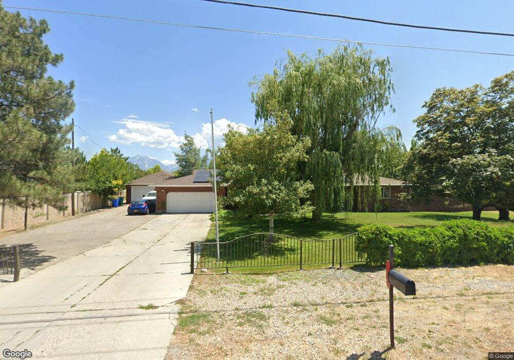
12211 S 4000 W Riverton, UT 84096
Estimated Value: $482,000 - $612,833
4
Beds
4
Baths
1,231
Sq Ft
$457/Sq Ft
Est. Value
About This Home
This home is located at 12211 S 4000 W, Riverton, UT 84096 and is currently estimated at $562,958, approximately $457 per square foot. 12211 S 4000 W is a home located in Salt Lake County with nearby schools including Midas Creek Elementary School, Oquirrh Hills Middle School, and Riverton High School.
Ownership History
Date
Name
Owned For
Owner Type
Purchase Details
Closed on
Oct 1, 2024
Sold by
Dutson Lyman
Bought by
Lyman & Natalie Dutson Family Trust and Dutson
Current Estimated Value
Purchase Details
Closed on
Jun 4, 2008
Sold by
Mountain View Title & Escrow Inc
Bought by
Dutson Lyman W
Purchase Details
Closed on
Sep 25, 2006
Sold by
Mckenzie Lee F and Mckenzie Pamela L
Bought by
Wison Llc
Purchase Details
Closed on
May 26, 2006
Sold by
Dutson Melinda
Bought by
Dutson Lyman W
Create a Home Valuation Report for This Property
The Home Valuation Report is an in-depth analysis detailing your home's value as well as a comparison with similar homes in the area
Home Values in the Area
Average Home Value in this Area
Purchase History
| Date | Buyer | Sale Price | Title Company |
|---|---|---|---|
| Lyman & Natalie Dutson Family Trust | -- | None Listed On Document | |
| Dutson Lyman W | -- | Mountain View Title & Escrow | |
| Wison Llc | -- | Guardian Title | |
| Dutson Lyman W | -- | Utah First Title Ins Agcy |
Source: Public Records
Tax History Compared to Growth
Tax History
| Year | Tax Paid | Tax Assessment Tax Assessment Total Assessment is a certain percentage of the fair market value that is determined by local assessors to be the total taxable value of land and additions on the property. | Land | Improvement |
|---|---|---|---|---|
| 2025 | $2,982 | $529,200 | $232,800 | $296,400 |
| 2024 | $2,982 | $516,200 | $223,900 | $292,300 |
| 2023 | $3,040 | $496,100 | $215,300 | $280,800 |
| 2022 | $3,181 | $509,100 | $211,100 | $298,000 |
| 2021 | $2,706 | $385,600 | $162,000 | $223,600 |
| 2020 | $2,427 | $322,500 | $162,000 | $160,500 |
| 2019 | $2,448 | $319,800 | $146,400 | $173,400 |
| 2018 | $2,295 | $295,200 | $143,400 | $151,800 |
| 2017 | $2,198 | $275,500 | $143,400 | $132,100 |
| 2016 | $2,157 | $259,400 | $151,000 | $108,400 |
| 2015 | $2,340 | $272,800 | $153,800 | $119,000 |
| 2014 | $2,250 | $257,200 | $146,600 | $110,600 |
Source: Public Records
Map
Nearby Homes
- 4091 W Swensen Farm Dr
- 3643 W 12125 S
- 12339 Black Foot St
- 11851 S Graycliff Rd
- 12191 S 3600 W
- 12159 Swensen Cir
- 11882 S Harvest Gold Way
- 11839 S Harvest Gold Way
- 3622 W Harvest Gold Way
- 11838 S Golden Pine Ln
- 11777 S 4210 W
- 12644 S Quail Lake Dr
- 4494 W Osage Rd
- 12501 S Huron Rd
- 4347 W 11770 S
- 12693 S Lincoln Peak Ln
- 12687 S Lincoln Peak Ln Unit 126
- 12687 S Lincoln Peak Ln
- 12671 S Lincoln Peak Ln Unit 131
- 12671 S Lincoln Peak Ln
- 12233 S 4000 W
- 12210 S 4000 W
- 12235 S 4000 W
- 12235 S 4000 W Unit 2
- 12250 S 4000 W
- 4017 W Swensen Farm Dr
- 4017 W Swensen Farm Dr Unit .50
- 12256 S 4000 W
- 4037 Swensen Farm Dr
- 4022 W Swensen Farm Dr
- 4022 Swensen Farm Dr
- 3973 W 12270 S
- 4057 Swensen Farm Dr
- 4057 W Swensen Farm Dr
- 3887 W Bumper Crop Cir
- 12153 Spring Wheat Cir
- 12146 S 4000 W
- 3892 W Bumper Crop Cir Unit 318
- 3892 W Bumper Crop Cir Unit 318
- 12207 S 3900 W