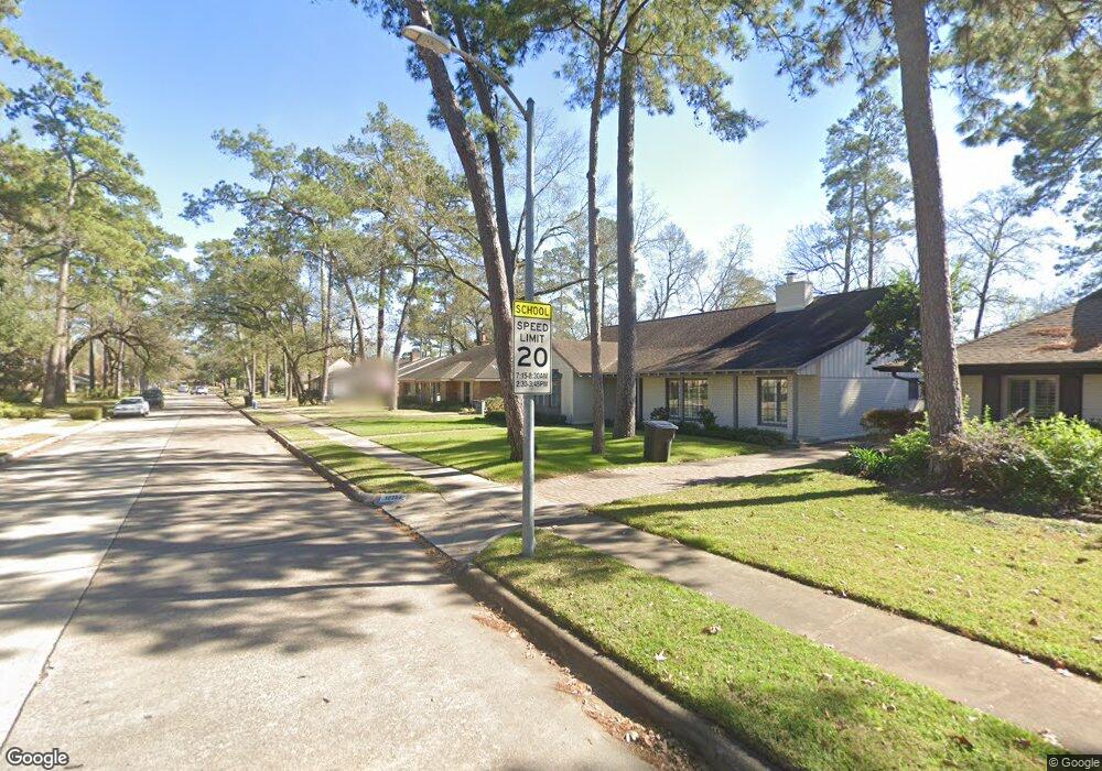
12219 Beauregard Dr Houston, TX 77024
Memorial NeighborhoodEstimated Value: $1,087,000 - $1,468,000
4
Beds
3
Baths
3,036
Sq Ft
$409/Sq Ft
Est. Value
About This Home
This home is located at 12219 Beauregard Dr, Houston, TX 77024 and is currently estimated at $1,240,584, approximately $408 per square foot. 12219 Beauregard Dr is a home located in Harris County with nearby schools including Frostwood Elementary School, Memorial Middle, and Memorial High School.
Ownership History
Date
Name
Owned For
Owner Type
Purchase Details
Closed on
Sep 19, 2011
Sold by
K Hovnanian Of Houston Ii Llc
Bought by
Lopez Jecenia
Current Estimated Value
Home Financials for this Owner
Home Financials are based on the most recent Mortgage that was taken out on this home.
Original Mortgage
$400,000
Outstanding Balance
$276,132
Interest Rate
4.43%
Mortgage Type
New Conventional
Estimated Equity
$964,452
Purchase Details
Closed on
Sep 15, 2011
Sold by
Hargis Rosalie B
Bought by
Dawson Alan Matthew and Dawson Melissa Campbell
Home Financials for this Owner
Home Financials are based on the most recent Mortgage that was taken out on this home.
Original Mortgage
$400,000
Outstanding Balance
$276,132
Interest Rate
4.43%
Mortgage Type
New Conventional
Estimated Equity
$964,452
Create a Home Valuation Report for This Property
The Home Valuation Report is an in-depth analysis detailing your home's value as well as a comparison with similar homes in the area
Home Values in the Area
Average Home Value in this Area
Purchase History
| Date | Buyer | Sale Price | Title Company |
|---|---|---|---|
| Lopez Jecenia | -- | Alamo Title Company | |
| Dawson Alan Matthew | -- | Chicago Title Insurance Co |
Source: Public Records
Mortgage History
| Date | Status | Borrower | Loan Amount |
|---|---|---|---|
| Open | Lopez Jecenia | $400,000 | |
| Closed | Dawson Alan Matthew | $400,000 |
Source: Public Records
Tax History Compared to Growth
Tax History
| Year | Tax Paid | Tax Assessment Tax Assessment Total Assessment is a certain percentage of the fair market value that is determined by local assessors to be the total taxable value of land and additions on the property. | Land | Improvement |
|---|---|---|---|---|
| 2025 | $13,962 | $1,005,795 | $703,000 | $302,795 |
| 2024 | $13,962 | $877,528 | $665,000 | $212,528 |
| 2023 | $13,962 | $861,534 | $700,000 | $161,534 |
| 2022 | $6,205 | $750,000 | $650,000 | $100,000 |
| 2021 | $17,235 | $696,827 | $600,000 | $96,827 |
| 2020 | $17,965 | $717,000 | $600,000 | $117,000 |
| 2019 | $18,692 | $714,000 | $600,000 | $114,000 |
| 2018 | $6,979 | $713,000 | $600,000 | $113,000 |
| 2017 | $18,653 | $713,000 | $600,000 | $113,000 |
| 2016 | $17,177 | $713,000 | $600,000 | $113,000 |
| 2015 | $11,345 | $770,000 | $600,000 | $170,000 |
| 2014 | $11,345 | $685,855 | $450,000 | $235,855 |
Source: Public Records
Map
Nearby Homes
- 12334 Beauregard Dr
- 12003 Tall Oaks St
- 358 Tealwood Dr
- 354 Tealwood Dr
- 234 Plantation Rd
- 601 Strey Ln
- 12327 Tunbridge Ln
- 12326 Old Oaks Dr
- 201 Vanderpool Ln Unit 103
- 201 Vanderpool Ln Unit 65
- 201 Vanderpool Ln Unit 64
- 0 Gessner Rd
- 336 Litchfield Ln
- 318 Litchfield Ln
- 12406 Overcup Dr
- 170 Haversham Dr
- 271 Litchfield Ln
- 150 Gessner Rd Unit 5A
- 241 Litchfield Ln
- 259 Litchfield Ln Unit 66
- 12223 Beauregard Dr
- 12215 Beauregard Dr
- 12227 Beauregard Dr
- 12211 Beauregard Dr
- 12218 Beauregard Dr
- 12222 Beauregard Dr
- 12214 Beauregard Dr
- 12231 Beauregard Dr Sa
- 12231 Beauregard Dr
- 12207 Beauregard Dr
- 12226 Beauregard Dr
- 12210 Beauregard Dr
- 12230 Beauregard Dr
- 12206 Beauregard Dr
- 12219 Rip Van Winkle Dr
- 12203 Beauregard Dr
- 12215 Rip Van Winkle Dr
- 12223 Rip Van Winkle Dr
- 12211 Rip Van Winkle Dr
- 12202 Beauregard Dr