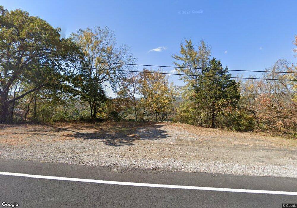
12219 N Highway 71 Mountainburg, AR 72946
Estimated Value: $16,431 - $66,000
--
Bed
--
Bath
144
Sq Ft
$286/Sq Ft
Est. Value
About This Home
This home is located at 12219 N Highway 71, Mountainburg, AR 72946 and is currently estimated at $41,216, approximately $286 per square foot. 12219 N Highway 71 is a home located in Crawford County with nearby schools including Mountainburg Elementary School, Mountainburg Middle School, and Mountainburg High School.
Ownership History
Date
Name
Owned For
Owner Type
Purchase Details
Closed on
Mar 4, 2018
Sold by
Carney Dean and Crown Deborah
Bought by
Moon Neal and Moon Carol
Current Estimated Value
Purchase Details
Closed on
Apr 24, 2017
Sold by
State Of Arkansas
Bought by
Carney Dean and Crown Deborah
Purchase Details
Closed on
Jun 25, 1999
Bought by
Perry-Collins
Purchase Details
Closed on
Jun 14, 1999
Bought by
Price-Perry
Purchase Details
Closed on
Jul 11, 1994
Bought by
State-Price
Create a Home Valuation Report for This Property
The Home Valuation Report is an in-depth analysis detailing your home's value as well as a comparison with similar homes in the area
Home Values in the Area
Average Home Value in this Area
Purchase History
| Date | Buyer | Sale Price | Title Company |
|---|---|---|---|
| Moon Neal | $10,000 | Crawford County Abstract Com | |
| Carney Dean | $1,900 | None Available | |
| Perry-Collins | $5,000 | -- | |
| Price-Perry | -- | -- | |
| State-Price | -- | -- |
Source: Public Records
Tax History Compared to Growth
Tax History
| Year | Tax Paid | Tax Assessment Tax Assessment Total Assessment is a certain percentage of the fair market value that is determined by local assessors to be the total taxable value of land and additions on the property. | Land | Improvement |
|---|---|---|---|---|
| 2025 | $6 | $110 | $110 | $0 |
| 2024 | $7 | $110 | $110 | $0 |
| 2023 | $7 | $110 | $110 | $0 |
| 2022 | $7 | $120 | $120 | $0 |
| 2021 | $7 | $120 | $120 | $0 |
| 2020 | $7 | $120 | $120 | $0 |
| 2019 | $7 | $120 | $120 | $0 |
| 2018 | $7 | $120 | $120 | $0 |
| 2017 | $129 | $4,200 | $4,200 | $0 |
| 2016 | $120 | $4,200 | $4,200 | $0 |
| 2015 | $112 | $4,200 | $4,200 | $0 |
| 2014 | $103 | $4,200 | $4,200 | $0 |
Source: Public Records
Map
Nearby Homes
- TBD Barton Hill Ln
- 800 Barton Hill Ln
- 11739 Arkansas 282
- 11328 N Highway 348
- 632 Graham St
- 533 Graham St
- 11350 N Highway 71
- TBD Dollard Rd
- 2428 Winn Mountain Loop
- 129 Hickory Trail
- 00 Fincher
- 19433 U S Highway 71
- 19433 N Highway 71
- 1100 Highway 71 NE
- TBD Abby Rose Ln
- 13704 N Highway 348
- 933 Serviceberry Rd
- 13998 Locust Mountain Rd
- 13708 Old Turner Rd
- 9625 N Highway 71
- 1321 Barton Rd
- 1201 Barton Rd
- 2401 Dove Ln
- 2309 Dove Ln
- 12229 N Highway 71
- 1119 Barton Rd
- 1200 Barton Rd
- 2509 Dove Ln
- 2404 Dove Ln
- 1028 Barton Hill Ln
- 1045 Barton Hill Ln
- 2635 Dove Ln
- 1001 Barton Rd
- 2862 Simmons Cir
- 900 Barton Rd
- 2856 Simmons Cir
- 1601 Highway 71 SW
- 2848 Simmons Cir
- 2832 Simmons Cir
- 12418 Shepherd Ln