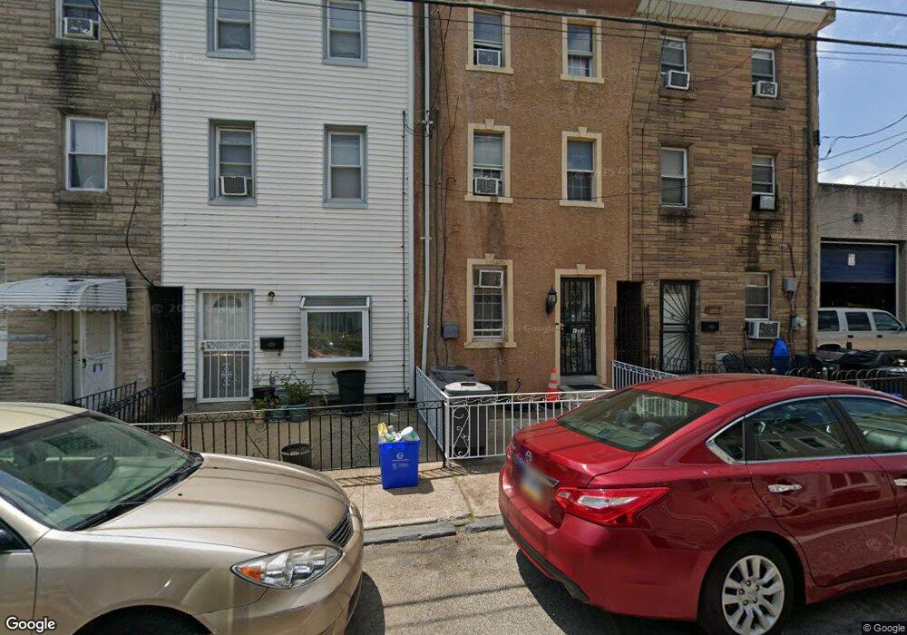
1222 Adams Ave Philadelphia, PA 19124
Frankford NeighborhoodEstimated Value: $169,000 - $194,000
3
Beds
1
Bath
1,350
Sq Ft
$133/Sq Ft
Est. Value
About This Home
This home is located at 1222 Adams Ave, Philadelphia, PA 19124 and is currently estimated at $180,199, approximately $133 per square foot. 1222 Adams Ave is a home located in Philadelphia County with nearby schools including John Marshall School, Harding Warren G Middle School, and Frankford High School.
Ownership History
Date
Name
Owned For
Owner Type
Purchase Details
Closed on
May 25, 2001
Sold by
Hammel Benjamin and Hammel Jeanette
Bought by
Sierra Lisette
Current Estimated Value
Home Financials for this Owner
Home Financials are based on the most recent Mortgage that was taken out on this home.
Original Mortgage
$38,087
Outstanding Balance
$14,113
Interest Rate
7.09%
Mortgage Type
FHA
Estimated Equity
$166,086
Create a Home Valuation Report for This Property
The Home Valuation Report is an in-depth analysis detailing your home's value as well as a comparison with similar homes in the area
Home Values in the Area
Average Home Value in this Area
Purchase History
| Date | Buyer | Sale Price | Title Company |
|---|---|---|---|
| Sierra Lisette | $38,000 | -- |
Source: Public Records
Mortgage History
| Date | Status | Borrower | Loan Amount |
|---|---|---|---|
| Open | Sierra Lisette | $38,087 |
Source: Public Records
Tax History Compared to Growth
Tax History
| Year | Tax Paid | Tax Assessment Tax Assessment Total Assessment is a certain percentage of the fair market value that is determined by local assessors to be the total taxable value of land and additions on the property. | Land | Improvement |
|---|---|---|---|---|
| 2026 | $1,188 | $139,700 | $27,900 | $111,800 |
| 2025 | $1,188 | $139,700 | $27,900 | $111,800 |
| 2024 | $1,188 | $139,700 | $27,900 | $111,800 |
| 2023 | $1,188 | $84,900 | $16,980 | $67,920 |
| 2022 | $831 | $84,900 | $16,980 | $67,920 |
| 2021 | $865 | $0 | $0 | $0 |
| 2020 | $865 | $0 | $0 | $0 |
| 2019 | $830 | $0 | $0 | $0 |
| 2018 | $973 | $0 | $0 | $0 |
| 2017 | $973 | $0 | $0 | $0 |
| 2016 | $973 | $0 | $0 | $0 |
| 2015 | $931 | $0 | $0 | $0 |
| 2014 | -- | $69,500 | $17,250 | $52,250 |
| 2012 | -- | $5,472 | $854 | $4,618 |
Source: Public Records
Map
Nearby Homes
- 1208 Unity St
- 1319 Church St
- 4328 Leiper St
- 4431 Oakland St
- 1338-40 Sellers St
- 1417 Unity St
- 1419 Unity St
- 1348 Sellers St
- 4254 O St
- 1361 Sellers St
- 4461 Leiper St
- 1424 Sellers St
- 4264 Neilson St
- 1241 Orthodox St
- 4600 Horrocks St
- 1501 Womrath St
- 1337 Sellers St
- 4229 Neilson St
- 1519 Womrath St
- 4221 Neilson St
- 1224 Adams Ave
- 1220 Adams Ave
- 1226 Adams Ave
- 1232 Adams Ave
- 1223 Adams Ave
- 1225 Adams Ave
- 1219 Adams Ave
- 1215 Adams Ave
- 1236 Adams Ave
- 1204 Adams Ave
- 1227 Adams Ave
- 1213 Adams Ave
- 1231 Adams Ave Unit 35
- 1229 Adams Ave
- 1234 Adams Ave
- 1202 Adams Ave Unit 2ND FL
- 1202 Adams Ave
- 1202 Adams Ave Unit 2ND FLOOR
- 1256 Adams Ave
- 4312 Pilling St