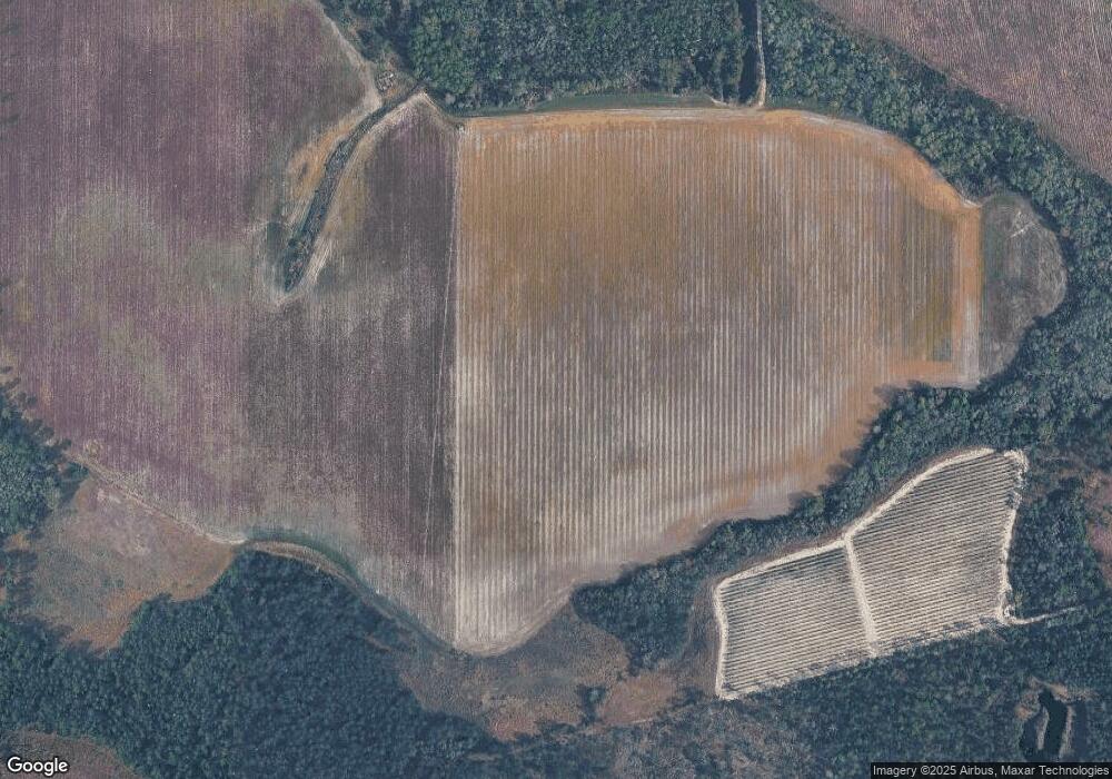
1222 Boyette Rd Mershon, GA 31551
Estimated Value: $297,000 - $435,000
--
Bed
1
Bath
2,348
Sq Ft
$157/Sq Ft
Est. Value
About This Home
This home is located at 1222 Boyette Rd, Mershon, GA 31551 and is currently estimated at $369,488, approximately $157 per square foot. 1222 Boyette Rd is a home with nearby schools including Pierce County High School.
Ownership History
Date
Name
Owned For
Owner Type
Purchase Details
Closed on
Feb 6, 2014
Sold by
Barber Charles E
Bought by
Barber Jason E and Barber Ashley H
Current Estimated Value
Purchase Details
Closed on
Feb 27, 1990
Sold by
Farmers Home Administration
Bought by
Barber Charles E and Barber Brenda H
Purchase Details
Closed on
Feb 20, 1986
Sold by
Harrison J C Aka Joseph Clyde Harrison
Bought by
Federal Land Bank Of Columbia
Purchase Details
Closed on
Oct 8, 1948
Sold by
Hyers James Seward
Bought by
Harrison J C
Purchase Details
Closed on
Oct 5, 1948
Sold by
Fowler Mrs Nellie
Bought by
Harrison Joseph C
Create a Home Valuation Report for This Property
The Home Valuation Report is an in-depth analysis detailing your home's value as well as a comparison with similar homes in the area
Home Values in the Area
Average Home Value in this Area
Purchase History
| Date | Buyer | Sale Price | Title Company |
|---|---|---|---|
| Barber Jason E | -- | -- | |
| Barber Charles E | $75,000 | -- | |
| Federal Land Bank Of Columbia | -- | -- | |
| Harrison J C | $4,000 | -- | |
| Harrison Joseph C | $3,000 | -- |
Source: Public Records
Tax History Compared to Growth
Tax History
| Year | Tax Paid | Tax Assessment Tax Assessment Total Assessment is a certain percentage of the fair market value that is determined by local assessors to be the total taxable value of land and additions on the property. | Land | Improvement |
|---|---|---|---|---|
| 2025 | $2,112 | $143,280 | $12,112 | $131,168 |
| 2024 | $2,112 | $139,132 | $12,112 | $127,020 |
| 2023 | $2,112 | $137,597 | $12,112 | $125,485 |
| 2022 | $1,724 | $76,331 | $5,635 | $70,696 |
| 2021 | $1,691 | $73,476 | $5,635 | $67,841 |
| 2020 | $1,717 | $70,621 | $5,635 | $64,986 |
| 2019 | $1,729 | $70,621 | $5,635 | $64,986 |
| 2018 | $1,724 | $67,496 | $5,366 | $62,130 |
| 2017 | $1,736 | $63,197 | $5,366 | $57,831 |
Source: Public Records
Map
Nearby Homes
- TRACT 2 Pine Cone Trail
- TRACT 3 Pine Cone Trail
- TRACT 11 Pine Cone Trail
- 0 Pine Cone Trail
- TRACT 5 Pine Cone Trail
- TRACT 7 Pine Cone Trail
- TRACT 9 Pine Cone Trail
- 2203 N Hwy 121 Hwy
- 0 Crump Rd
- 0 Metts-Overstreet Rd
- 0 Ward Boyette Rd
- 3190 Radio Station Rd
- 0 Ga Hwy 32
- 3675 Troy Rd
- TBD Cartertown Rd
- TBD Cartertown Rd
- 0 Oak Hill Rd Unit 17325553
- 1821 Kellers Rd
- 4311 Carson Rd
- 3936 Folks Cir
