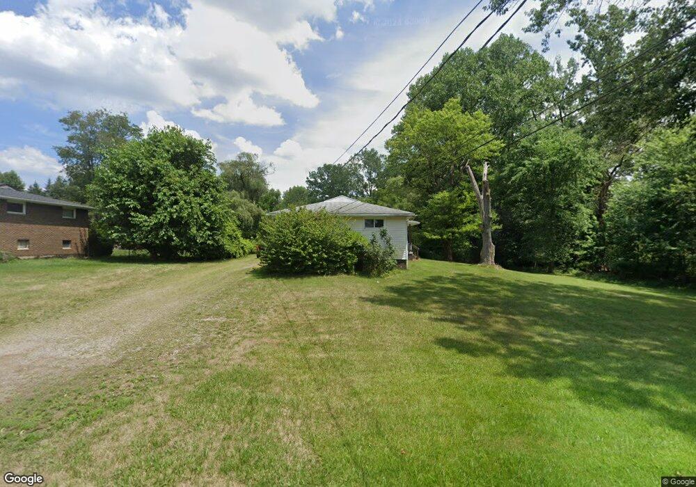
1222 Faircliff St Louisville, OH 44641
Estimated Value: $179,000 - $221,000
4
Beds
2
Baths
1,536
Sq Ft
$131/Sq Ft
Est. Value
About This Home
This home is located at 1222 Faircliff St, Louisville, OH 44641 and is currently estimated at $200,667, approximately $130 per square foot. 1222 Faircliff St is a home located in Stark County with nearby schools including Louisville High School and St. Thomas Aquinas High School & Middle School.
Ownership History
Date
Name
Owned For
Owner Type
Purchase Details
Closed on
Jun 29, 2017
Sold by
Swaggard Nancy A and Swaggard Robert D
Bought by
Rhj Industries Ltd
Current Estimated Value
Purchase Details
Closed on
Apr 7, 2008
Sold by
Swaggard Nancy A
Bought by
Swaggard Nancy A and Swaggard Robert D
Purchase Details
Closed on
Feb 9, 2007
Sold by
Estate Of Delmon D Swaggard
Bought by
Swaggard Nancy A and Delmon D Swaggard Living Trust
Purchase Details
Closed on
Jan 3, 2007
Sold by
Swaggard Nancy A
Bought by
Swaggard Nancy A and Delmon D Swaggard Living Trust
Create a Home Valuation Report for This Property
The Home Valuation Report is an in-depth analysis detailing your home's value as well as a comparison with similar homes in the area
Home Values in the Area
Average Home Value in this Area
Purchase History
| Date | Buyer | Sale Price | Title Company |
|---|---|---|---|
| Rhj Industries Ltd | $313,850 | None Available | |
| Swaggard Nancy A | -- | Attorney | |
| Swaggard Nancy A | -- | None Available | |
| Swaggard Nancy A | -- | Attorney |
Source: Public Records
Tax History Compared to Growth
Tax History
| Year | Tax Paid | Tax Assessment Tax Assessment Total Assessment is a certain percentage of the fair market value that is determined by local assessors to be the total taxable value of land and additions on the property. | Land | Improvement |
|---|---|---|---|---|
| 2025 | -- | $46,170 | $23,070 | $23,100 |
| 2024 | -- | $46,170 | $23,070 | $23,100 |
| 2023 | $1,895 | $43,050 | $19,110 | $23,940 |
| 2022 | $1,895 | $43,050 | $19,110 | $23,940 |
| 2021 | $1,900 | $43,050 | $19,110 | $23,940 |
| 2020 | $1,572 | $38,570 | $17,220 | $21,350 |
| 2019 | $1,580 | $42,710 | $21,600 | $21,110 |
| 2018 | $1,749 | $42,710 | $21,600 | $21,110 |
| 2017 | $1,584 | $37,320 | $18,060 | $19,260 |
| 2016 | $1,615 | $37,280 | $18,060 | $19,220 |
| 2015 | $1,619 | $37,280 | $18,060 | $19,220 |
| 2014 | $1,545 | $33,060 | $16,040 | $17,020 |
| 2013 | $776 | $33,060 | $16,040 | $17,020 |
Source: Public Records
Map
Nearby Homes
- 428 Honeycrisp Dr NE
- 3047 Mcintosh Dr NE
- 432 Honeycrisp Dr NE
- 2962 Mcintosh Dr NE
- 2963 Mcintosh Dr NE
- 430 Honeycrisp Dr NE
- 2957 Mcintosh Dr NE
- 300 Kennedy St
- 614 Reno Dr
- 524 Glenbar St
- 0 Glenbar St
- 0 Brookridge Ave
- 316 E Reno Dr
- 5474 Ravenna Ave
- 1175 Sturbridge Dr
- 1149 Sturbridge Dr
- 3580 Brookridge Ave Lot 15
- 910 Crosswyck Cir
- 325 Lincoln Ave
- 1170 Winding Ridge Ave
- 1240 Faircliff St
- 1250 Faircliff St
- 1239 Faircliff St
- 1223 Faircliff St
- 1243 Zwick Ave
- 273 Devinney Ave
- 277 Devinney Ave
- 265 Devinney Ave
- 1249 Faircliff St
- 1239 Zwick Ave
- 1251 Zwick Ave
- 1260 Faircliff St
- 259 Devinney Ave
- 245 Devinney Ave
- 1259 Faircliff St
- 1261 Zwick Ave
- 229 Clara Ct
- 241 Devinney Ave
- 1244 Zwick Ave
- 1270 Faircliff St