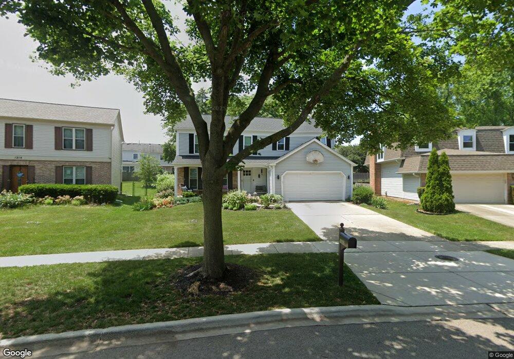
1222 Gail Dr Buffalo Grove, IL 60089
Estimated Value: $603,765 - $704,000
--
Bed
3
Baths
2,264
Sq Ft
$286/Sq Ft
Est. Value
About This Home
This home is located at 1222 Gail Dr, Buffalo Grove, IL 60089 and is currently estimated at $647,441, approximately $285 per square foot. 1222 Gail Dr is a home located in Lake County with nearby schools including Prairie Elementary School, Twin Groves Middle School, and Adlai E Stevenson High School.
Ownership History
Date
Name
Owned For
Owner Type
Purchase Details
Closed on
Feb 16, 2022
Sold by
Winter Perchonok and Winter Wendy
Bought by
Michael W Perchonok Declaration Of Trust
Current Estimated Value
Create a Home Valuation Report for This Property
The Home Valuation Report is an in-depth analysis detailing your home's value as well as a comparison with similar homes in the area
Home Values in the Area
Average Home Value in this Area
Purchase History
| Date | Buyer | Sale Price | Title Company |
|---|---|---|---|
| Michael W Perchonok Declaration Of Trust | -- | Locascio Mark A |
Source: Public Records
Tax History Compared to Growth
Tax History
| Year | Tax Paid | Tax Assessment Tax Assessment Total Assessment is a certain percentage of the fair market value that is determined by local assessors to be the total taxable value of land and additions on the property. | Land | Improvement |
|---|---|---|---|---|
| 2024 | $15,963 | $182,070 | $38,022 | $144,048 |
| 2023 | $14,685 | $163,617 | $34,169 | $129,448 |
| 2022 | $14,685 | $146,830 | $30,663 | $116,167 |
| 2021 | $14,129 | $145,246 | $30,332 | $114,914 |
| 2020 | $13,796 | $145,741 | $30,435 | $115,306 |
| 2019 | $13,605 | $145,204 | $30,323 | $114,881 |
| 2018 | $12,694 | $140,001 | $29,969 | $110,032 |
| 2017 | $12,454 | $136,733 | $29,269 | $107,464 |
| 2016 | $12,130 | $130,932 | $28,027 | $102,905 |
| 2015 | $11,812 | $122,447 | $26,211 | $96,236 |
| 2014 | $11,139 | $114,233 | $28,151 | $86,082 |
| 2012 | $11,056 | $114,462 | $28,207 | $86,255 |
Source: Public Records
Map
Nearby Homes
- 1265 Devonshire Rd
- 1141 Devonshire Rd
- 327 Lasalle Ln
- 931 Shady Grove Ln
- 950 Belmar Ln
- 1118 Larraway Dr
- 890 Knollwood Dr
- 1152 Courtland Dr Unit 406
- 1032 Courtland Dr Unit 9
- 437 Caren Dr
- 1546 Brandywyn Ln
- 1113 Lockwood Dr
- 614 Lyon Ct
- 538 Lasalle Ct
- 711 Woodhollow Ln
- 12 Cloverdale Ct
- 938 Hidden Lake Dr
- 5107 N Arlington Heights Rd
- 800 Clohesey Dr
- 610 Checker Dr
- 1214 Gail Dr
- 1230 Gail Dr Unit 4
- 1201 Brandywyn Ln
- 1215 Brandywyn Ln
- 1206 Gail Dr
- 1238 Gail Dr
- 1187 Brandywyn Ln Unit 2
- 1173 Brandywyn Ln
- 1229 Brandywyn Ln Unit 2
- 1246 Gail Dr
- 1227 Gail Dr
- 1198 Gail Dr
- 1159 Brandywyn Ln
- 1215 Gail Dr
- 1239 Gail Dr
- 1243 Brandywyn Ln
- 1203 Gail Dr
- 1254 Gail Dr
- 1190 Gail Dr
- 1155 Brandywyn Ln