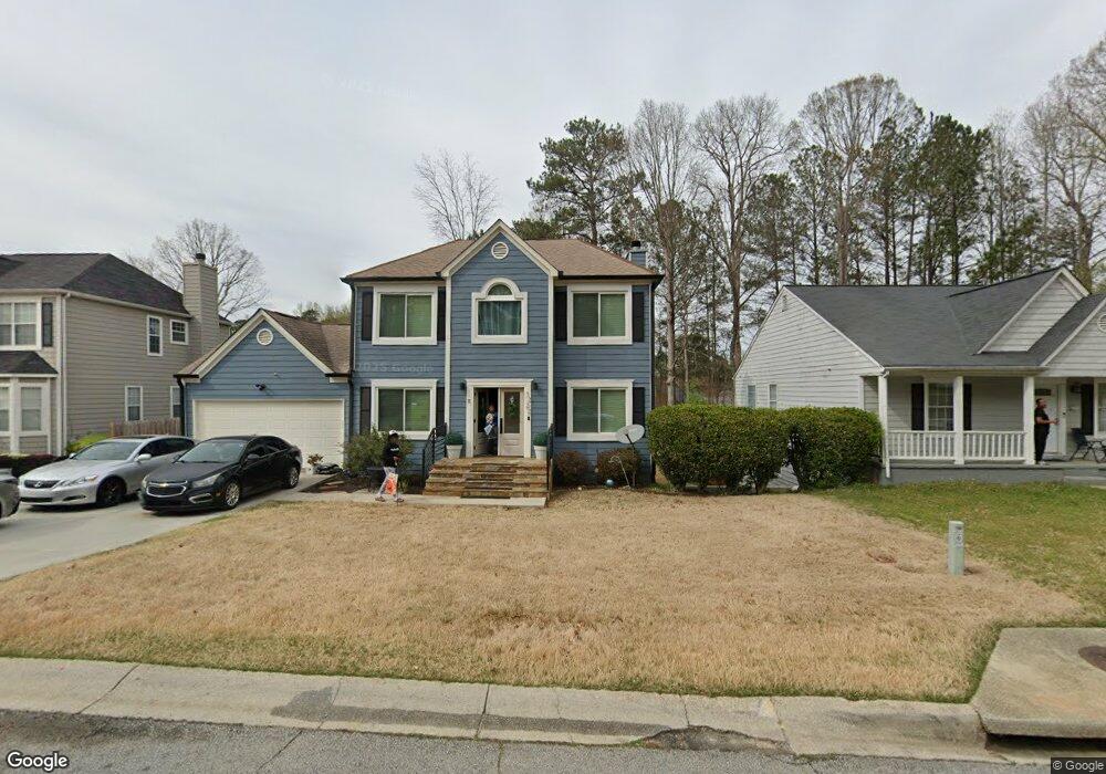
1222 Ling Way Austell, GA 30168
Estimated Value: $321,834 - $350,000
4
Beds
3
Baths
1,856
Sq Ft
$179/Sq Ft
Est. Value
About This Home
This home is located at 1222 Ling Way, Austell, GA 30168 and is currently estimated at $331,459, approximately $178 per square foot. 1222 Ling Way is a home located in Cobb County with nearby schools including Bryant Elementary School, Lindley Middle School, and Pebblebrook High School.
Ownership History
Date
Name
Owned For
Owner Type
Purchase Details
Closed on
Jun 17, 2005
Sold by
Woodley Travis A and Woodley Althea
Bought by
Lloyd Derrick D
Current Estimated Value
Home Financials for this Owner
Home Financials are based on the most recent Mortgage that was taken out on this home.
Original Mortgage
$163,337
Interest Rate
5.57%
Mortgage Type
VA
Purchase Details
Closed on
Sep 29, 1995
Sold by
Homeland Communities
Bought by
Woodley Travis A Althea
Create a Home Valuation Report for This Property
The Home Valuation Report is an in-depth analysis detailing your home's value as well as a comparison with similar homes in the area
Home Values in the Area
Average Home Value in this Area
Purchase History
| Date | Buyer | Sale Price | Title Company |
|---|---|---|---|
| Lloyd Derrick D | $159,900 | -- | |
| Woodley Travis A Althea | $107,000 | -- |
Source: Public Records
Mortgage History
| Date | Status | Borrower | Loan Amount |
|---|---|---|---|
| Previous Owner | Lloyd Derrick D | $163,337 | |
| Closed | Woodley Travis A Althea | $0 |
Source: Public Records
Tax History Compared to Growth
Tax History
| Year | Tax Paid | Tax Assessment Tax Assessment Total Assessment is a certain percentage of the fair market value that is determined by local assessors to be the total taxable value of land and additions on the property. | Land | Improvement |
|---|---|---|---|---|
| 2025 | -- | $120,456 | $16,000 | $104,456 |
| 2024 | $75 | $120,456 | $16,000 | $104,456 |
| 2023 | $0 | $120,456 | $16,000 | $104,456 |
| 2022 | $0 | $78,924 | $8,000 | $70,924 |
| 2021 | $0 | $78,924 | $8,000 | $70,924 |
| 2020 | $1,421 | $65,328 | $8,000 | $57,328 |
| 2019 | $1,421 | $65,328 | $8,000 | $57,328 |
| 2018 | $0 | $52,160 | $8,000 | $44,160 |
| 2017 | $1,421 | $49,416 | $5,600 | $43,816 |
| 2016 | $1,421 | $49,416 | $5,600 | $43,816 |
| 2015 | $1,456 | $49,416 | $5,600 | $43,816 |
| 2014 | $684 | $23,020 | $0 | $0 |
Source: Public Records
Map
Nearby Homes
- 1211 Ling Way
- 1395 Ling Dr Unit 2
- 1311 Park Center Cir
- 1163 Park Center Cir
- 1243 Blairs Pointe Dr Unit 3
- 1182 Park Center Cir
- 1186 Park Center Cir
- 1507 Locust Log Way
- 6810 Panda Dr Unit B
- 1195 Park Center Cir
- 1199 Park Center Cir
- 1203 Park Center Cir
- 6811 Panda Dr Unit A
- 6736 Ivy Log Dr
- 7254 Silverton Trail
- 6854 Panda Ct Unit A
- 7147 Walton Reserve Ln
- 6992 Ivy Pointe Row
- 1682 Walton Reserve Blvd
- 840 Revena Dr
- 1224 Ling Way
- 1220 Ling Way
- 1220 Ling Way Unit 78
- 7072 Allison Ct Unit 2
- 7112 Ling Ct
- 1218 Ling Way Unit 2
- 7114 Ling Ct
- N Ling Way
- 7074 Allison Ct
- 1229 Ling Way Unit 2
- 1231 Ling Way
- 1227 Ling Way
- 7110 Ling Ct
- 1226 Ling Way Unit 2
- 1225 Ling Way
- 1216 Ling Way
- 7073 Allison Ct Unit 2
- 1233 Ling Way
- 7076 Allison Ct Unit 2
- 7115 Ling Ct