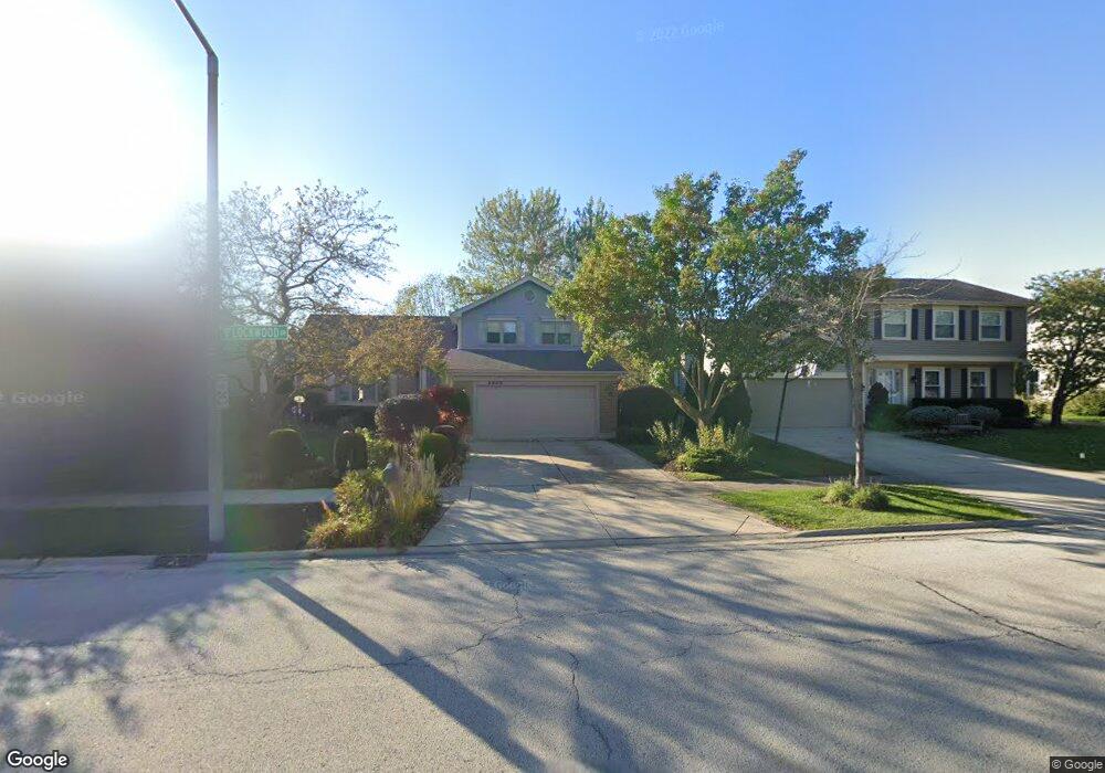
1222 Lockwood Dr Buffalo Grove, IL 60089
Estimated Value: $429,571 - $548,000
--
Bed
2
Baths
1,226
Sq Ft
$394/Sq Ft
Est. Value
About This Home
This home is located at 1222 Lockwood Dr, Buffalo Grove, IL 60089 and is currently estimated at $483,393, approximately $394 per square foot. 1222 Lockwood Dr is a home located in Lake County with nearby schools including Prairie Elementary School, Twin Groves Middle School, and Adlai E Stevenson High School.
Ownership History
Date
Name
Owned For
Owner Type
Purchase Details
Closed on
Nov 18, 1999
Sold by
Stanley Grobler Monica and Stanley Yanconich
Bought by
Grobler Monica
Current Estimated Value
Purchase Details
Closed on
Aug 8, 1995
Sold by
Rozenstrauch Alexander and Rozenstrauch Grazyna
Bought by
Yancovich Stanley A and Grobler Monica M
Home Financials for this Owner
Home Financials are based on the most recent Mortgage that was taken out on this home.
Original Mortgage
$158,800
Interest Rate
7.43%
Create a Home Valuation Report for This Property
The Home Valuation Report is an in-depth analysis detailing your home's value as well as a comparison with similar homes in the area
Home Values in the Area
Average Home Value in this Area
Purchase History
| Date | Buyer | Sale Price | Title Company |
|---|---|---|---|
| Grobler Monica | -- | -- | |
| Yancovich Stanley A | $198,500 | -- |
Source: Public Records
Mortgage History
| Date | Status | Borrower | Loan Amount |
|---|---|---|---|
| Closed | Yancovich Stanley A | $158,800 |
Source: Public Records
Tax History Compared to Growth
Tax History
| Year | Tax Paid | Tax Assessment Tax Assessment Total Assessment is a certain percentage of the fair market value that is determined by local assessors to be the total taxable value of land and additions on the property. | Land | Improvement |
|---|---|---|---|---|
| 2024 | $11,214 | $124,338 | $34,790 | $89,548 |
| 2023 | $10,980 | $117,322 | $32,827 | $84,495 |
| 2022 | $10,980 | $111,301 | $31,142 | $80,159 |
| 2021 | $10,563 | $110,101 | $30,806 | $79,295 |
| 2020 | $10,314 | $110,477 | $30,911 | $79,566 |
| 2019 | $10,174 | $110,070 | $30,797 | $79,273 |
| 2018 | $5,353 | $111,535 | $30,438 | $81,097 |
| 2017 | $9,805 | $108,932 | $29,728 | $79,204 |
| 2016 | $9,545 | $104,311 | $28,467 | $75,844 |
| 2015 | $9,287 | $97,551 | $26,622 | $70,929 |
| 2014 | $7,223 | $76,176 | $28,590 | $47,586 |
| 2012 | $7,151 | $76,328 | $28,647 | $47,681 |
Source: Public Records
Map
Nearby Homes
- 1118 Larraway Dr
- 327 Lasalle Ln
- 1113 Lockwood Dr
- 538 Lasalle Ct
- 1265 Devonshire Rd
- 1141 Devonshire Rd
- 1272 Sandhurst Dr
- 938 Hidden Lake Dr
- 896 Chaucer Way Unit 2
- 931 Shady Grove Ln
- 15 Thompson Ct
- 1265 Ranchview Ct
- 1012 Hobson Dr
- 711 Woodhollow Ln
- 1903 Sheridan Rd
- 1901 Brandywyn Ln
- 148 White Branch Ct
- 268 Hoffmann Dr
- 51 W Fabish Dr
- 610 Checker Dr
- 1220 Lockwood Dr
- 1224 Lockwood Dr
- 1218 Lockwood Dr
- 1226 Lockwood Dr
- 426 Lamont Terrace
- 427 Lamont Terrace
- 1216 Lockwood Dr
- 1228 Lockwood Dr
- 457 Ronnie Dr
- 441 Ronnie Dr
- 424 Lamont Terrace
- 425 Lamont Terrace
- 1214 Lockwood Dr
- 1215 Lockwood Dr
- 1347 Green Knolls Dr
- 1339 Green Knolls Dr
- 1355 Green Knolls Dr
- 437 Ronnie Dr
- 422 Lamont Terrace
- 1213 Lockwood Dr