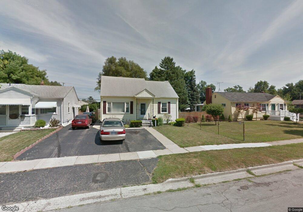
1222 Maple Blvd Monroe, MI 48162
Northeast Monroe NeighborhoodEstimated Value: $163,513 - $181,000
4
Beds
1
Bath
1,072
Sq Ft
$160/Sq Ft
Est. Value
About This Home
This home is located at 1222 Maple Blvd, Monroe, MI 48162 and is currently estimated at $171,628, approximately $160 per square foot. 1222 Maple Blvd is a home located in Monroe County with nearby schools including Monroe High School, Triumph Academy, and Zion Lutheran School.
Ownership History
Date
Name
Owned For
Owner Type
Purchase Details
Closed on
Jul 16, 2021
Sold by
Hamrick Brian S
Bought by
Chen Lin
Current Estimated Value
Purchase Details
Closed on
Sep 8, 2016
Sold by
Bezeau Darrel J and Bezeau Bruce D
Bought by
Hamrick Brian S
Home Financials for this Owner
Home Financials are based on the most recent Mortgage that was taken out on this home.
Original Mortgage
$95,243
Interest Rate
3.5%
Mortgage Type
FHA
Create a Home Valuation Report for This Property
The Home Valuation Report is an in-depth analysis detailing your home's value as well as a comparison with similar homes in the area
Home Values in the Area
Average Home Value in this Area
Purchase History
| Date | Buyer | Sale Price | Title Company |
|---|---|---|---|
| Chen Lin | $125,000 | Michigan Title Ins Agcy Inc | |
| Hamrick Brian S | $97,000 | None Available |
Source: Public Records
Mortgage History
| Date | Status | Borrower | Loan Amount |
|---|---|---|---|
| Previous Owner | Hamrick Brian S | $95,243 |
Source: Public Records
Tax History
| Year | Tax Paid | Tax Assessment Tax Assessment Total Assessment is a certain percentage of the fair market value that is determined by local assessors to be the total taxable value of land and additions on the property. | Land | Improvement |
|---|---|---|---|---|
| 2025 | $2,114 | $73,300 | $73,300 | $0 |
| 2024 | $2,018 | $67,000 | $0 | $0 |
| 2023 | $1,930 | $58,560 | $0 | $0 |
| 2022 | $2,571 | $58,560 | $0 | $0 |
| 2021 | $1,833 | $57,080 | $0 | $0 |
| 2020 | $1,707 | $52,120 | $0 | $0 |
| 2019 | $1,618 | $52,120 | $0 | $0 |
| 2018 | $1,686 | $38,760 | $0 | $0 |
| 2017 | $1,540 | $38,760 | $0 | $0 |
| 2016 | $1,266 | $36,700 | $0 | $0 |
| 2015 | $1,165 | $33,470 | $0 | $0 |
| 2014 | $1,165 | $33,470 | $0 | $0 |
| 2013 | -- | $29,990 | $0 | $0 |
Source: Public Records
Map
Nearby Homes
- 1310 Arbor Ave
- 1333 Riverview Ave
- 434 Arbor Ave
- 623 Maywood Ave
- 1008 Maple Ave
- 504 Rosewood Ave
- 23 Linswood Dr
- 92 Linswood St
- 1290 N Monroe St Unit B
- 1290 N Monroe St Unit A
- 74 Linswood Dr
- 712 Michigan Ave
- 603 Scottwood Ave
- 1605 Arbor Ave
- 0 Cole Rd
- 616 Cole Rd
- 714 Bethpage Ct
- 230 E Grove St
- 303 E Lorain St
- E E Lorain St
- 1222 Maple Ave
- 1226 Maple Ave
- 1214 Maple Ave
- 1234 Maple Ave
- 1234 Maple Ave
- 1206 Maple Ave
- 1217 Michigan Ave
- 1223 Michigan Ave
- 1215 Michigan Ave
- 1231 Michigan Ave
- 1242 Maple Ave
- 1200 Maple Ave
- 1209 Michigan Ave
- 1200 Maple Ave
- 1225 Maple Ave
- 1221 Maple Ave
- 1209 Maple Ave
- 1213 Maple Ave
- 1217 Maple Ave
- 1241 Michigan Ave
Your Personal Tour Guide
Ask me questions while you tour the home.