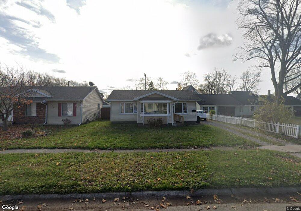
1222 Myrtle St Port Huron, MI 48060
Estimated Value: $101,000 - $165,000
Studio
--
Bath
1,280
Sq Ft
$107/Sq Ft
Est. Value
About This Home
This home is located at 1222 Myrtle St, Port Huron, MI 48060 and is currently estimated at $136,525, approximately $106 per square foot. 1222 Myrtle St is a home located in St. Clair County with nearby schools including Garfield Elementary School, Holland Woods Middle School, and Port Huron Northern High School.
Ownership History
Date
Name
Owned For
Owner Type
Purchase Details
Closed on
Sep 30, 2009
Sold by
Jt Bauer Holdings Llc
Bought by
Assett Link Llc
Current Estimated Value
Purchase Details
Closed on
Mar 25, 2009
Sold by
Estate Of Frederick C Mechan
Bought by
Jt Bauer Holdings Llc
Purchase Details
Closed on
Dec 29, 2008
Sold by
Cope Lawrence W and Cope Shanda J
Bought by
Cuthbertson Tamara A and Estate Of Frederick C Mechan
Create a Home Valuation Report for This Property
The Home Valuation Report is an in-depth analysis detailing your home's value as well as a comparison with similar homes in the area
Home Values in the Area
Average Home Value in this Area
Purchase History
| Date | Buyer | Sale Price | Title Company |
|---|---|---|---|
| Assett Link Llc | -- | None Available | |
| Jt Bauer Holdings Llc | $9,000 | Sky Title Agency | |
| Cuthbertson Tamara A | -- | None Available |
Source: Public Records
Tax History
| Year | Tax Paid | Tax Assessment Tax Assessment Total Assessment is a certain percentage of the fair market value that is determined by local assessors to be the total taxable value of land and additions on the property. | Land | Improvement |
|---|---|---|---|---|
| 2025 | $1,494 | $52,500 | $0 | $0 |
| 2024 | $1,453 | $48,800 | $0 | $0 |
| 2023 | $1,376 | $43,300 | $0 | $0 |
| 2022 | $1,344 | $37,100 | $0 | $0 |
| 2020 | $1,288 | $32,000 | $32,000 | $0 |
| 2019 | $1,265 | $22,000 | $0 | $0 |
| 2018 | $1,237 | $22,000 | $0 | $0 |
| 2017 | $1,136 | $20,900 | $0 | $0 |
| 2016 | $1,004 | $20,900 | $0 | $0 |
| 2015 | $985 | $19,100 | $19,100 | $0 |
| 2014 | $985 | $18,300 | $18,300 | $0 |
| 2013 | -- | $18,500 | $0 | $0 |
Source: Public Records
Map
Nearby Homes
- 2400 Stone St Unit 2414
- 910 Church St
- 2915 10th Ave
- 2915 Linda Ct
- 2431 Armour St
- 2008 Elmwood St
- 1828 Kennelworth Dr
- 3165 10th Ave
- 2835 17th Ave
- 2215 Hancock St
- 817 Florida Ave
- 1020 Sanborn St
- 2525 19th Ave
- 3142 Wright St
- 1907 Riverside Dr
- 1523 Elk St
- 3316 Hickory Ln
- 1507 Elk St
- 3455 Gratiot Ave
- 1433 Poplar St
- 1218 Myrtle St
- 1302 Myrtle St
- 1212 Myrtle St
- 1221 Hancock St
- 1301 Hancock St
- 1215 Hancock St
- 1225 Myrtle St
- 1206 Myrtle St
- 1211 Hancock St
- 1211 Myrtle St
- 1308 Myrtle St
- 1301 Myrtle St
- 1221 Myrtle St
- 1215 Myrtle St
- 1311 Hancock St
- 1207 Myrtle St
- 1318 Myrtle St
- 1305 Myrtle St
- 1202 Myrtle St
- 1319 Hancock St
Your Personal Tour Guide
Ask me questions while you tour the home.