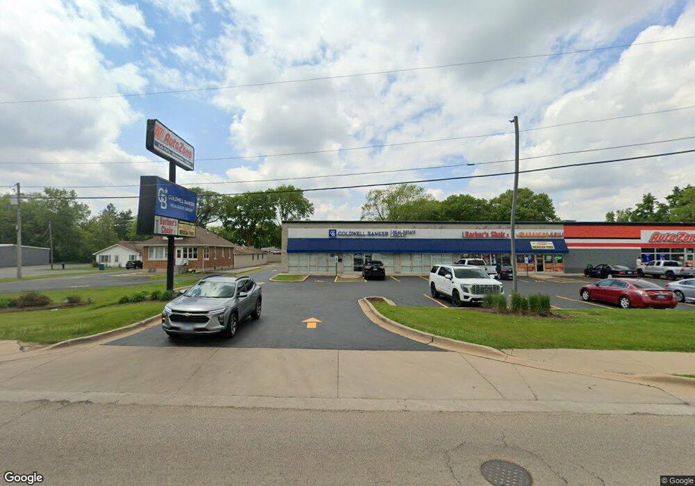
1222 N Division St Morris, IL 60450
Estimated Value: $389,000
Studio
--
Bath
11,771
Sq Ft
$33/Sq Ft
Est. Value
About This Home
This home is located at 1222 N Division St, Morris, IL 60450 and is currently estimated at $389,000, approximately $33 per square foot. 1222 N Division St is a home located in Grundy County with nearby schools including White Oak Elementary School, Shabbona Middle School, and Morris Community High School.
Ownership History
Date
Name
Owned For
Owner Type
Purchase Details
Closed on
Aug 28, 2023
Sold by
Nmd Ii Llc
Bought by
Asb Investments Llc
Current Estimated Value
Home Financials for this Owner
Home Financials are based on the most recent Mortgage that was taken out on this home.
Original Mortgage
$1,000,000
Outstanding Balance
$978,188
Interest Rate
6.81%
Mortgage Type
New Conventional
Estimated Equity
-$589,188
Create a Home Valuation Report for This Property
The Home Valuation Report is an in-depth analysis detailing your home's value as well as a comparison with similar homes in the area
Purchase History
| Date | Buyer | Sale Price | Title Company |
|---|---|---|---|
| Asb Investments Llc | $1,750,000 | None Listed On Document |
Source: Public Records
Mortgage History
| Date | Status | Borrower | Loan Amount |
|---|---|---|---|
| Open | Asb Investments Llc | $1,000,000 |
Source: Public Records
Tax History
| Year | Tax Paid | Tax Assessment Tax Assessment Total Assessment is a certain percentage of the fair market value that is determined by local assessors to be the total taxable value of land and additions on the property. | Land | Improvement |
|---|---|---|---|---|
| 2024 | $5,777 | $73,816 | $73,816 | $0 |
| 2023 | $5,441 | $69,520 | $69,520 | $0 |
| 2022 | $5,018 | $64,121 | $64,121 | $0 |
| 2021 | $4,813 | $60,640 | $60,640 | $0 |
| 2020 | $4,758 | $59,092 | $59,092 | $0 |
| 2019 | $4,485 | $56,011 | $56,011 | $0 |
| 2018 | $4,416 | $54,925 | $54,925 | $0 |
| 2017 | $4,156 | $52,037 | $52,037 | $0 |
| 2016 | $4,117 | $51,629 | $51,629 | $0 |
| 2015 | $3,861 | $49,562 | $49,562 | $0 |
| 2014 | $3,759 | $48,268 | $48,268 | $0 |
| 2013 | $3,821 | $50,190 | $50,190 | $0 |
Source: Public Records
Map
Nearby Homes
- 1595 W Us Rte 6
- 1.88 Acres Rd
- 1112 & 1112 1/2 Butler St
- 1368 Heritage Dr
- 1224 Grant St
- 1246 Wauponsee St
- 1 By Railroad Track
- 721 Lincoln St
- 329 Robinson Dr
- 511 Armstrong St
- 00 U S 6
- Lot 3 Heron Lake Ct
- 00 E Route 6 Rd
- 1209 Oak Grove Ct
- Lot 1 W Commercial St
- 1301 Union St
- 523 Bedford Rd
- 744 E Benton St
- 812 1/2 E Benton St
- 831 Douglas St
- 1242 N Division St
- 1223 Liberty St
- 1243 Liberty St
- 1247 Liberty St
- 1211 Liberty St
- 1253 Liberty St
- 209 E High St
- 1231 Liberty St
- 203 E High St
- 1217 Liberty St
- 1205 Liberty St
- 1259 N Division St
- 201 E High St
- 1228 Kiersted St
- 1234 Kiersted St
- 1224 Kiersted St
- 1204 N Division St
- 1238 Kiersted St
- 1220 Kiersted St
- 1216 Kiersted St
Your Personal Tour Guide
Ask me questions while you tour the home.