1222 Pleasant Hill Rd Martin, GA 30557
Estimated Value: $214,000 - $315,000
2
Beds
2
Baths
1,454
Sq Ft
$179/Sq Ft
Est. Value
About This Home
This home is located at 1222 Pleasant Hill Rd, Martin, GA 30557 and is currently estimated at $260,632, approximately $179 per square foot. 1222 Pleasant Hill Rd is a home located in Franklin County with nearby schools including Franklin County High School and Shepherds Hill Academy.
Ownership History
Date
Name
Owned For
Owner Type
Purchase Details
Closed on
Jan 31, 2013
Sold by
Duncan Charles Michael
Bought by
Andrews Rodney Blake
Current Estimated Value
Home Financials for this Owner
Home Financials are based on the most recent Mortgage that was taken out on this home.
Original Mortgage
$95,918
Outstanding Balance
$66,866
Interest Rate
3.35%
Mortgage Type
New Conventional
Estimated Equity
$193,766
Purchase Details
Closed on
Aug 14, 2012
Sold by
Duncan Charles Michael
Bought by
Duncan Charles Michael
Purchase Details
Closed on
Dec 9, 1996
Sold by
Wood Donal and Wood Catheri
Bought by
Leon Heriberto
Purchase Details
Closed on
Oct 25, 1996
Bought by
Wood Donal and Wood Catheri
Create a Home Valuation Report for This Property
The Home Valuation Report is an in-depth analysis detailing your home's value as well as a comparison with similar homes in the area
Home Values in the Area
Average Home Value in this Area
Purchase History
| Date | Buyer | Sale Price | Title Company |
|---|---|---|---|
| Andrews Rodney Blake | $90,000 | -- | |
| Duncan Charles Michael | -- | -- | |
| Duncan Charles Michael | -- | -- | |
| Leon Heriberto | $81,600 | -- | |
| Wood Donal | $5,000 | -- |
Source: Public Records
Mortgage History
| Date | Status | Borrower | Loan Amount |
|---|---|---|---|
| Open | Andrews Rodney Blake | $95,918 |
Source: Public Records
Tax History Compared to Growth
Tax History
| Year | Tax Paid | Tax Assessment Tax Assessment Total Assessment is a certain percentage of the fair market value that is determined by local assessors to be the total taxable value of land and additions on the property. | Land | Improvement |
|---|---|---|---|---|
| 2024 | $1,436 | $60,346 | $6,000 | $54,346 |
| 2023 | $1,431 | $55,472 | $6,000 | $49,472 |
| 2022 | $1,316 | $51,023 | $6,000 | $45,023 |
| 2021 | $1,222 | $44,405 | $4,800 | $39,605 |
| 2020 | $1,204 | $43,292 | $4,800 | $38,492 |
| 2019 | $1,163 | $43,292 | $4,800 | $38,492 |
| 2018 | $988 | $36,769 | $3,800 | $32,969 |
| 2017 | $1,027 | $36,769 | $3,800 | $32,969 |
| 2016 | $978 | $33,529 | $3,800 | $29,729 |
| 2015 | -- | $33,529 | $3,800 | $29,729 |
| 2014 | -- | $33,529 | $3,800 | $29,729 |
| 2013 | -- | $34,297 | $3,800 | $30,497 |
Source: Public Records
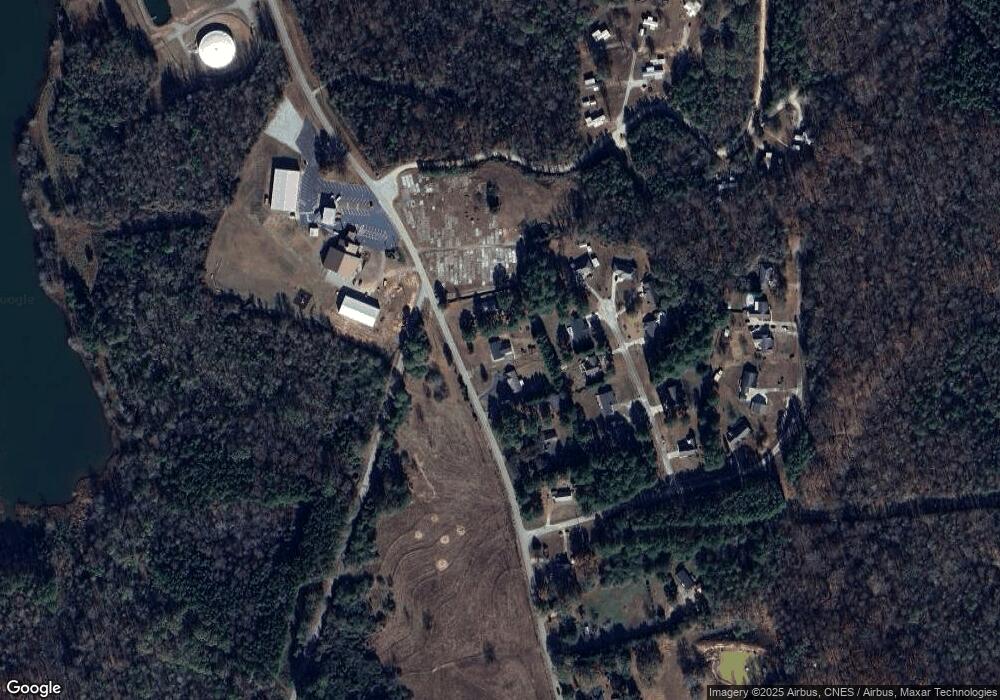
Map
Nearby Homes
- 0 Deer Run Trail Unit 10622166
- 303 Blakely Chappelear Rd
- 65 Davis School Rd
- 1057 Pleasant Hill Cir
- 2945 Pleasant Hill Rd
- 710 New Town Rd
- 919 Pleasant Hill Cir
- 0 Moonlight Dr Unit 10598549
- 16834 Georgia 17
- 59 Wright St Unit 69
- 0 Commonwealth Unit Lot 9 & 10 CL339359
- 0 Commonwealth Unit LOT 9 & 10 10600825
- 103 Ross Place
- 55 Wright St Unit 67
- 57 Wright St Unit 68
- 51 Wright St Unit 66
- 49 Wright St Unit 65
- 45 Wright St Unit 64
- 396 Brookwood Dr
- 4693 Vickery St
- 1250 Pleasant Hill Rd
- 1200 Pleasant Hill Rd
- 103 Whispering Pines
- 1156 Pleasant Hill Rd
- 87 Whispering Pines
- 665 Pleasant Hill Rd
- 122 Whispering Pines
- 63 Whispering Pines
- 110 Whispering Pines
- 63 Whispering Pines
- 67 Whispering Pines
- 120 Whispering Pines
- 0 Whispering Pine Unit 7189517
- 0 Whispering Pine Unit 8817735
- 120 Whispering Pine
- 120 Whispering Pines
- 0 Whispering Pine Dr Unit 8
- 120 Whispering Pine Dr Unit 8
- 67 Whispering Pines
- 120 Whispering Pines Dr