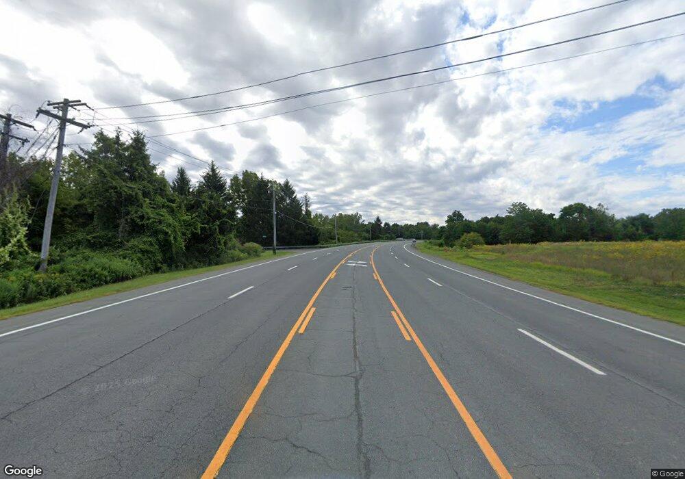
1222 Route 9 Castleton On Hudson, NY 12033
Estimated Value: $577,566
--
Bed
--
Bath
6,000
Sq Ft
$96/Sq Ft
Est. Value
About This Home
This home is located at 1222 Route 9, Castleton On Hudson, NY 12033 and is currently estimated at $577,566, approximately $96 per square foot. 1222 Route 9 is a home located in Rensselaer County with nearby schools including Castleton Elementary School and Maple Hill High School.
Ownership History
Date
Name
Owned For
Owner Type
Purchase Details
Closed on
Feb 23, 2015
Sold by
John Apaige Jr Cont Inc
Bought by
1222 Rj Properties Llc
Current Estimated Value
Home Financials for this Owner
Home Financials are based on the most recent Mortgage that was taken out on this home.
Original Mortgage
$256,000
Outstanding Balance
$195,932
Interest Rate
3.74%
Mortgage Type
Commercial
Estimated Equity
$381,634
Create a Home Valuation Report for This Property
The Home Valuation Report is an in-depth analysis detailing your home's value as well as a comparison with similar homes in the area
Home Values in the Area
Average Home Value in this Area
Purchase History
| Date | Buyer | Sale Price | Title Company |
|---|---|---|---|
| 1222 Rj Properties Llc | $320,000 | Brett Bush | |
| 1222 Rj Properties Llc | $320,000 | Brett Bush |
Source: Public Records
Mortgage History
| Date | Status | Borrower | Loan Amount |
|---|---|---|---|
| Open | 1222 Rj Properties Llc | $256,000 | |
| Closed | 1222 Rj Properties Llc | $256,000 |
Source: Public Records
Tax History Compared to Growth
Tax History
| Year | Tax Paid | Tax Assessment Tax Assessment Total Assessment is a certain percentage of the fair market value that is determined by local assessors to be the total taxable value of land and additions on the property. | Land | Improvement |
|---|---|---|---|---|
| 2024 | $10,020 | $377,600 | $63,200 | $314,400 |
| 2023 | $14,319 | $377,600 | $63,200 | $314,400 |
| 2022 | $14,237 | $377,600 | $63,200 | $314,400 |
| 2021 | $14,104 | $377,600 | $63,200 | $314,400 |
| 2020 | $14,232 | $377,600 | $63,200 | $314,400 |
| 2019 | $13,829 | $377,600 | $63,200 | $314,400 |
| 2018 | $13,829 | $377,600 | $63,200 | $314,400 |
| 2017 | $13,401 | $377,600 | $63,200 | $314,400 |
| 2016 | $13,425 | $377,600 | $63,200 | $314,400 |
| 2015 | -- | $377,600 | $63,200 | $314,400 |
| 2014 | -- | $377,600 | $63,200 | $314,400 |
Source: Public Records
Map
Nearby Homes
- 329 Schodack Dr
- 242 Lape Rd
- L1 Northern Blvd
- 20 Orchard Rd
- 1710 Duck Pond Rd
- 1471 van Hoesen Rd
- 380-382 Lape Rd
- 1341 S Schodack Rd
- 1707 Champagne Dr
- 3815 U S 20
- 3753 U S 20
- 1876 Dover Ln
- L2 S Old Post Rd
- 273 Clove Rd
- 1140 van Hoesen Rd
- 0 Mcclellan Rd Unit LotWP001 22906328
- 0 Mcclellan Rd
- 41 Carolyn Rd
- 508 Mcknight Rd
- 413 Mcclellan Rd
- 2 Lape Rd
- 8 Lape Rd
- 16 Lape Rd
- 0 Lape Rd Unit 201331572
- 0 Lape Rd Unit 59327
- 0 Lape Rd Unit 59627
- 0 Lape Rd Unit 68430
- 0 Lape Rd Unit 65874
- 0 Lape Rd Unit 27104428
- 0 Lape Rd Unit 24109378
- 20 Lape Rd
- 1232 U S 9
- 0 Us 9 Lape Rd Unit 201811892
- 9 Lape Rd
- 1209 Route 9
- 47 Lape Rd
- 50 Lape Rd
- 1177 Us Route 9
- 1177 Us Route 9
- 1177 Us 9
