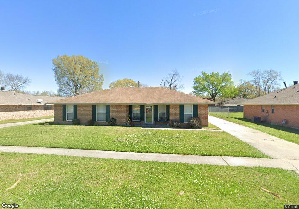
1222 S Mike Dr Baton Rouge, LA 70815
Park Forest/LA North NeighborhoodEstimated Value: $154,000 - $207,000
3
Beds
2
Baths
1,809
Sq Ft
$99/Sq Ft
Est. Value
About This Home
This home is located at 1222 S Mike Dr, Baton Rouge, LA 70815 and is currently estimated at $179,080, approximately $98 per square foot. 1222 S Mike Dr is a home located in East Baton Rouge Parish with nearby schools including LaBelle Aire Elementary School, Park Forest Middle School, and Belaire High School.
Ownership History
Date
Name
Owned For
Owner Type
Purchase Details
Closed on
Jan 31, 2005
Sold by
Samuel Tiffany
Bought by
Morgan Robert
Current Estimated Value
Home Financials for this Owner
Home Financials are based on the most recent Mortgage that was taken out on this home.
Original Mortgage
$99,000
Outstanding Balance
$50,188
Interest Rate
5.71%
Mortgage Type
New Conventional
Estimated Equity
$128,892
Purchase Details
Closed on
Sep 22, 1999
Sold by
Donakey Brenda Gill Holmes and Holmes Michael Dale
Bought by
Samuel Tiffany Lynnell
Home Financials for this Owner
Home Financials are based on the most recent Mortgage that was taken out on this home.
Original Mortgage
$75,874
Interest Rate
8.18%
Mortgage Type
FHA
Create a Home Valuation Report for This Property
The Home Valuation Report is an in-depth analysis detailing your home's value as well as a comparison with similar homes in the area
Home Values in the Area
Average Home Value in this Area
Purchase History
| Date | Buyer | Sale Price | Title Company |
|---|---|---|---|
| Morgan Robert | $99,000 | -- | |
| Samuel Tiffany Lynnell | $76,500 | -- |
Source: Public Records
Mortgage History
| Date | Status | Borrower | Loan Amount |
|---|---|---|---|
| Open | Morgan Robert | $99,000 | |
| Previous Owner | Samuel Tiffany Lynnell | $75,874 |
Source: Public Records
Tax History Compared to Growth
Tax History
| Year | Tax Paid | Tax Assessment Tax Assessment Total Assessment is a certain percentage of the fair market value that is determined by local assessors to be the total taxable value of land and additions on the property. | Land | Improvement |
|---|---|---|---|---|
| 2024 | $976 | $13,575 | $2,200 | $11,375 |
| 2023 | $976 | $10,950 | $2,200 | $8,750 |
| 2022 | $1,482 | $10,950 | $2,200 | $8,750 |
| 2021 | $1,452 | $10,950 | $2,200 | $8,750 |
| 2020 | $1,293 | $10,950 | $2,200 | $8,750 |
| 2019 | $1,229 | $9,950 | $2,000 | $7,950 |
| 2018 | $1,214 | $9,950 | $2,000 | $7,950 |
| 2017 | $1,214 | $9,950 | $2,000 | $7,950 |
| 2016 | $92 | $7,168 | $2,000 | $5,168 |
| 2015 | $385 | $9,900 | $2,000 | $7,900 |
| 2014 | $384 | $9,900 | $2,000 | $7,900 |
| 2013 | -- | $9,900 | $2,000 | $7,900 |
Source: Public Records
Map
Nearby Homes
- 12385&12387 Shay Ave
- 12424 Cate Ave Unit 12426
- 12013 Shannon Ave
- 12547 Lorna Ave
- 1466 Harco Dr
- 12875 King John Place
- 1734 N Rosedale Dr
- 2043 Shady Oaks Dr
- 371 Kay Dr
- 11755 Archery Dr
- 11555 E Black Oak Dr
- 13070 Wallis St
- 379 Wilton Dr
- 2148 Oak Knoll Dr
- 2121 Oak Knoll Dr
- 12511 E Robinhood Dr
- 11625 Archery Dr
- 12435 Parnell Dr
- 305 Woodcliff Dr
- 444 S Locksley Dr