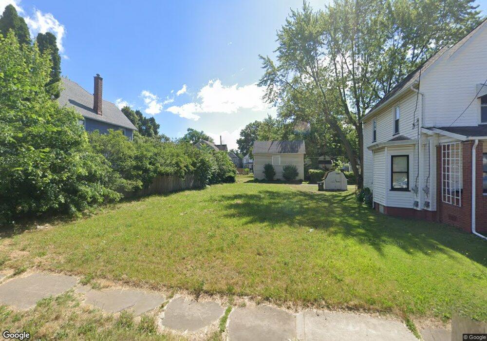
1222 Shorb Ave NW Canton, OH 44703
McKinley Fork Northwest NeighborhoodEstimated Value: $178,000
3
Beds
1
Bath
1,600
Sq Ft
$111/Sq Ft
Est. Value
About This Home
This home is located at 1222 Shorb Ave NW, Canton, OH 44703 and is currently priced at $178,000, approximately $111 per square foot. 1222 Shorb Ave NW is a home located in Stark County with nearby schools including Early Learning Center @ Schreiber, Gibbs Elementary School, and Clarendon Intermediate School.
Ownership History
Date
Name
Owned For
Owner Type
Purchase Details
Closed on
Oct 30, 2025
Sold by
Grammenidis Christos
Bought by
Angel Martinez Maldonado
Current Estimated Value
Purchase Details
Closed on
Feb 13, 2025
Sold by
City Of Canton
Bought by
Grammenidis Christos
Purchase Details
Closed on
Feb 28, 2022
Sold by
Stark County Land Reutilization Corporat
Bought by
City Of Canton
Purchase Details
Closed on
May 2, 2018
Sold by
Stark County Land Reutilization Corp
Bought by
Stark County Regional Planning Commissio
Purchase Details
Closed on
Apr 7, 2017
Sold by
Louise Richard Jane and Louise Richard Jane
Bought by
Stark County Land Reutilization Corporat
Purchase Details
Closed on
Feb 16, 2000
Sold by
Richard Jane L
Bought by
Richard Jane Louise and Carpenter Billy J
Create a Home Valuation Report for This Property
The Home Valuation Report is an in-depth analysis detailing your home's value as well as a comparison with similar homes in the area
Home Values in the Area
Average Home Value in this Area
Purchase History
| Date | Buyer | Sale Price | Title Company |
|---|---|---|---|
| Angel Martinez Maldonado | $6,000 | None Listed On Document | |
| Grammenidis Christos | -- | None Listed On Document | |
| City Of Canton | -- | Anthony John F | |
| Stark County Regional Planning Commissio | -- | None Available | |
| Stark County Land Reutilization Corporat | -- | None Available | |
| Richard Jane Louise | -- | -- |
Source: Public Records
Tax History Compared to Growth
Tax History
| Year | Tax Paid | Tax Assessment Tax Assessment Total Assessment is a certain percentage of the fair market value that is determined by local assessors to be the total taxable value of land and additions on the property. | Land | Improvement |
|---|---|---|---|---|
| 2025 | -- | $2,870 | $2,870 | -- |
| 2024 | -- | $2,870 | $2,870 | -- |
| 2023 | $2 | $1,750 | $1,750 | $0 |
| 2022 | $6 | $1,680 | $1,680 | $0 |
| 2021 | $6 | $1,680 | $1,680 | $0 |
| 2020 | $3 | $1,330 | $1,330 | $0 |
| 2019 | $3 | $4,030 | $2,630 | $1,400 |
| 2018 | $0 | $4,030 | $2,630 | $1,400 |
| 2017 | $0 | $3,330 | $2,170 | $1,160 |
| 2016 | $0 | $3,330 | $2,170 | $1,160 |
| 2015 | $6 | $7,560 | $2,170 | $5,390 |
| 2014 | $120 | $7,010 | $2,000 | $5,010 |
| 2013 | $99 | $7,010 | $2,000 | $5,010 |
Source: Public Records
Map
Nearby Homes
- 1227 Worley Ave NW
- 1231 Worley Ave NW
- 824 12th St NW
- 1347 Shorb Ave NW
- 1224 Cleveland Ave NW
- 811 Troy Place NW
- 1005 Dewalt Ave NW
- 1007 Dewalt Ave NW
- 806 Troy Place NW
- 905 High Ave NW
- 1023 Fulton Rd NW
- 1306 12th St NW
- 1226 Logan Ave NW
- 722 High Ave NW
- 1221 9th St NW
- 1328 Logan Ave NW
- 1236 Perkins Ave NW
- 1435 12th St NW
- 1135 16th St NW
- 1500 Fulton Rd NW
- 1216 Shorb Ave NW
- 1226 Shorb Ave NW
- 1230 Shorb Ave NW
- 1212 Shorb Ave NW
- 1212 Shorb Ave NW Unit 2
- 1236 Shorb Ave NW
- 1223 Shorb Ave NW
- 1219 Shorb Ave NW
- 1213 Shorb Ave NW
- 1223 Worley Ave NW
- 1219 Worley Ave NW
- 1233 Shorb Ave NW
- 1238 Shorb Ave NW
- 1235 Shorb Ave NW
- 1244 Shorb Ave NW
- 1211 Worley Ave NW
- 816 Oby Place NW
- 1241 Shorb Ave NW
- 810 Oby Place NW
- 1235 Worley Ave NW