Estimated Value: $335,000 - $385,000
4
Beds
2
Baths
1,618
Sq Ft
$224/Sq Ft
Est. Value
About This Home
This home is located at 1222 Smith Rd, Xenia, OH 45385 and is currently estimated at $362,558, approximately $224 per square foot. 1222 Smith Rd is a home located in Greene County with nearby schools including Xenia High School.
Ownership History
Date
Name
Owned For
Owner Type
Purchase Details
Closed on
Jun 11, 2010
Sold by
Accorinti Mary A and Accorinti John F
Bought by
Schmitt Ashlee R
Current Estimated Value
Home Financials for this Owner
Home Financials are based on the most recent Mortgage that was taken out on this home.
Original Mortgage
$141,600
Outstanding Balance
$95,643
Interest Rate
5.13%
Mortgage Type
New Conventional
Estimated Equity
$266,915
Purchase Details
Closed on
Dec 11, 2006
Sold by
Hargrove Clinton R and Hargrove Mary A
Bought by
Hargrove Clinton R and Hargrove Mary A
Purchase Details
Closed on
May 30, 2000
Sold by
Stall Paul E and Stall Eileen H
Bought by
Hargrove Clinton R and Hargrove Mary A
Home Financials for this Owner
Home Financials are based on the most recent Mortgage that was taken out on this home.
Original Mortgage
$178,190
Interest Rate
8.25%
Create a Home Valuation Report for This Property
The Home Valuation Report is an in-depth analysis detailing your home's value as well as a comparison with similar homes in the area
Home Values in the Area
Average Home Value in this Area
Purchase History
| Date | Buyer | Sale Price | Title Company |
|---|---|---|---|
| Schmitt Ashlee R | $177,000 | Attorney | |
| Hargrove Clinton R | -- | Attorney | |
| Hargrove Clinton R | $173,000 | -- |
Source: Public Records
Mortgage History
| Date | Status | Borrower | Loan Amount |
|---|---|---|---|
| Open | Schmitt Ashlee R | $141,600 | |
| Previous Owner | Hargrove Clinton R | $178,190 |
Source: Public Records
Tax History Compared to Growth
Tax History
| Year | Tax Paid | Tax Assessment Tax Assessment Total Assessment is a certain percentage of the fair market value that is determined by local assessors to be the total taxable value of land and additions on the property. | Land | Improvement |
|---|---|---|---|---|
| 2024 | $3,896 | $89,910 | $26,050 | $63,860 |
| 2023 | $3,896 | $89,910 | $26,050 | $63,860 |
| 2022 | $3,449 | $68,250 | $23,570 | $44,680 |
| 2021 | $3,495 | $68,250 | $23,570 | $44,680 |
| 2020 | $3,350 | $68,250 | $23,570 | $44,680 |
| 2019 | $3,088 | $59,550 | $19,930 | $39,620 |
| 2018 | $3,100 | $59,550 | $19,930 | $39,620 |
| 2017 | $3,011 | $59,550 | $19,930 | $39,620 |
| 2016 | $3,012 | $57,040 | $19,230 | $37,810 |
| 2015 | $3,020 | $57,040 | $19,230 | $37,810 |
| 2014 | $2,892 | $57,040 | $19,230 | $37,810 |
Source: Public Records
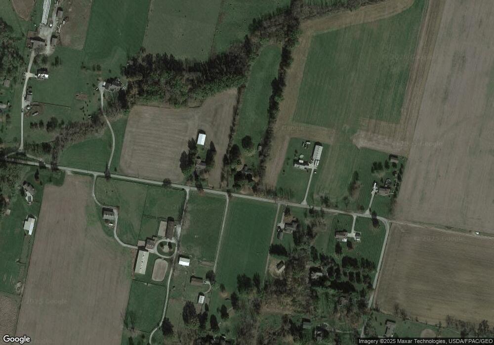
Map
Nearby Homes
- 2400 U S 68
- 2783 Us Route 68 S
- 0A Old Winchester Trail
- 0C Old Winchester Trail
- 0B Old Winchester Trail
- 1736 Winchester Rd
- 2268 E Spring Valley Paintersville Rd
- 668 New Burlington Rd
- 3863 S Old Us Rt 68
- 1293 Gultice Rd
- 966 U S 68
- 0 U S 68
- 2723 Gano Rd
- 8760 State Route 380
- 920 Wright Cycle Blvd
- 926 Wright Cycle Blvd
- 2102 High Wheel Dr
- 260 Pocahontas St
- 100 Prugh Ave
- 2144 Tandem Dr
- 1200 Smith Rd
- 1239 Smith Rd
- 1249 Smith Rd
- 1219 Smith Rd
- 1255 Smith Rd
- 1250 Smith Rd
- 1265 Smith Rd
- 1802 Smith Rd
- 1229 Smith Rd
- 1275 Smith Rd
- 1270 Smith Rd
- 1097 Smith Rd
- 1301 Smith Rd
- 1306 Smith Rd
- 1061 Smith Rd
- 1315 Smith Rd
- 1037 Smith Rd
- 1022 Smith Rd
- 1015 Smith Rd
- 1204 E Spring Valley Paintersville Rd