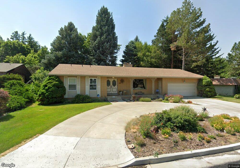
1222 Sumac Dr Logan, UT 84321
Wilson NeighborhoodEstimated Value: $495,000 - $555,000
Studio
--
Bath
1,747
Sq Ft
$302/Sq Ft
Est. Value
About This Home
This home is located at 1222 Sumac Dr, Logan, UT 84321 and is currently estimated at $527,029, approximately $301 per square foot. 1222 Sumac Dr is a home with nearby schools including Wilson School, Mount Logan Middle School, and Logan High School.
Ownership History
Date
Name
Owned For
Owner Type
Purchase Details
Closed on
Aug 31, 2012
Sold by
Boccia Tamra S and Tamra S Boccia Trust
Bought by
Boccia Tamra S and Kimball Brian H
Current Estimated Value
Purchase Details
Closed on
Apr 24, 2009
Sold by
Bowen Stephanie C
Bought by
Coombs Larae and Dale Coombs Revocable Trust
Purchase Details
Closed on
Apr 20, 2009
Sold by
Coombs Michael and Coombs Kevin
Bought by
Coombs Larae and Dale Coombs Revocable Trust
Purchase Details
Closed on
Apr 16, 2009
Sold by
Coombs Curtis
Bought by
Coombs Larae and Dale Coombs Revocable Trust
Purchase Details
Closed on
Apr 15, 2009
Sold by
Coombs Gayla
Bought by
Coombs Larae and Dale Coombs Revocable Trust
Purchase Details
Closed on
Apr 13, 2009
Sold by
Hansen Reatha
Bought by
Coombs Larae and Dale Coombs Revocable Trust
Create a Home Valuation Report for This Property
The Home Valuation Report is an in-depth analysis detailing your home's value as well as a comparison with similar homes in the area
Home Values in the Area
Average Home Value in this Area
Purchase History
| Date | Buyer | Sale Price | Title Company |
|---|---|---|---|
| Boccia Tamra S | -- | None Available | |
| Coombs Larae | -- | None Available | |
| Coombs Larae | -- | None Available | |
| Coombs Larae | -- | None Available | |
| Coombs Larae | -- | None Available | |
| Coombs Larae | -- | None Available |
Source: Public Records
Tax History
| Year | Tax Paid | Tax Assessment Tax Assessment Total Assessment is a certain percentage of the fair market value that is determined by local assessors to be the total taxable value of land and additions on the property. | Land | Improvement |
|---|---|---|---|---|
| 2025 | $2,302 | $297,760 | $0 | $0 |
| 2023 | $2,481 | $296,220 | $0 | $0 |
| 2022 | $2,330 | $259,755 | $0 | $0 |
| 2021 | $2,208 | $380,300 | $73,700 | $306,600 |
| 2020 | $2,123 | $329,200 | $73,700 | $255,500 |
| 2019 | $2,005 | $297,446 | $73,700 | $223,746 |
| 2018 | $1,944 | $263,316 | $73,700 | $189,616 |
| 2017 | $1,714 | $122,760 | $0 | $0 |
| 2016 | $1,778 | $122,760 | $0 | $0 |
| 2015 | $1,780 | $122,760 | $0 | $0 |
| 2014 | $1,467 | $111,980 | $0 | $0 |
| 2013 | -- | $111,980 | $0 | $0 |
Source: Public Records
Map
Nearby Homes
- 1387 E 260 N
- 1374 E 260 N
- 1045 Fox Farm Rd
- 1034 Thrushwood Dr
- 1535 Sumac Dr
- 128 S 1170 E
- 1147 Eastridge Dr
- 74 Canterbury Cir
- 1374 Maple Dr
- 2758 N Canyon Cove Dr
- 2738 N Canyon Cove Dr
- 1164 E Mountain Rd
- 28 River Pointe Dr
- 70 River Pointe Dr
- 147 Winding Way Unit 50
- 825 N 1400 E
- 866 Hillcrest Ave
- 684 Apple Dr
- 1647 E Quail Canyon Dr
- 622 Canyon Rd
Your Personal Tour Guide
Ask me questions while you tour the home.