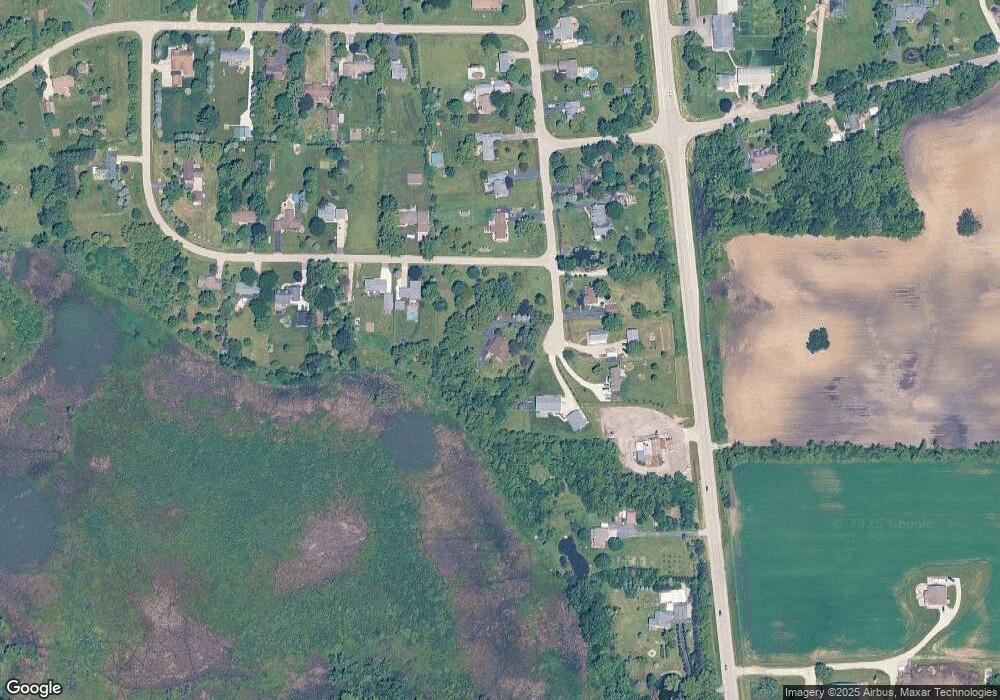
12220 182nd Ave Bristol, WI 53104
Estimated Value: $416,000 - $561,083
3
Beds
4
Baths
2,342
Sq Ft
$207/Sq Ft
Est. Value
About This Home
This home is located at 12220 182nd Ave, Bristol, WI 53104 and is currently estimated at $485,021, approximately $207 per square foot. 12220 182nd Ave is a home located in Kenosha County with nearby schools including Bristol Elementary School and Central High School.
Ownership History
Date
Name
Owned For
Owner Type
Purchase Details
Closed on
Jun 28, 2012
Sold by
Jpmorgan Chase Bank Na
Bought by
Karr Michael and Karr Janel
Current Estimated Value
Home Financials for this Owner
Home Financials are based on the most recent Mortgage that was taken out on this home.
Original Mortgage
$177,107
Interest Rate
3.52%
Mortgage Type
FHA
Purchase Details
Closed on
Mar 8, 2012
Sold by
Jpmorgan Chase Bank Na
Bought by
Jpmorgan Chase Bank Na
Create a Home Valuation Report for This Property
The Home Valuation Report is an in-depth analysis detailing your home's value as well as a comparison with similar homes in the area
Home Values in the Area
Average Home Value in this Area
Purchase History
| Date | Buyer | Sale Price | Title Company |
|---|---|---|---|
| Karr Michael | $180,400 | Bay National Title Company | |
| Jpmorgan Chase Bank Na | $152,000 | None Available |
Source: Public Records
Mortgage History
| Date | Status | Borrower | Loan Amount |
|---|---|---|---|
| Previous Owner | Karr Michael | $177,107 |
Source: Public Records
Tax History Compared to Growth
Tax History
| Year | Tax Paid | Tax Assessment Tax Assessment Total Assessment is a certain percentage of the fair market value that is determined by local assessors to be the total taxable value of land and additions on the property. | Land | Improvement |
|---|---|---|---|---|
| 2024 | $6,020 | $324,200 | $90,900 | $233,300 |
| 2023 | $5,116 | $324,200 | $90,900 | $233,300 |
| 2022 | $5,134 | $324,200 | $90,900 | $233,300 |
| 2021 | $5,303 | $324,200 | $90,900 | $233,300 |
| 2020 | $5,303 | $324,200 | $90,900 | $233,300 |
| 2019 | $5,000 | $324,200 | $90,900 | $233,300 |
| 2018 | $4,762 | $229,200 | $88,100 | $141,100 |
| 2017 | $4,144 | $229,200 | $88,100 | $141,100 |
| 2016 | $4,471 | $229,200 | $88,100 | $141,100 |
| 2015 | $4,177 | $229,200 | $88,100 | $141,100 |
| 2014 | -- | $229,200 | $88,100 | $141,100 |
Source: Public Records
Map
Nearby Homes
- 11944 187th Ave
- 18828 116th St
- 19900 128th St Unit 210
- 19900 128th St Unit 70
- 19900 128th St Unit 124
- 19900 128th St Unit 150
- 19900 128th St Unit 317
- 19900 128th St Unit 39
- 19900 128th St Unit 44
- 19900 128th St Unit 121
- 18290 Winfield Rd
- Lt0 128th St
- 18939 W State Line Rd
- 18863 W State Line Rd
- 42909 N Deep Lake Rd
- 1062 Neuhaven Dr
- 1056 Deertrail Ct
- 11706 214th Ave
- 1063 Joy Ct
- 21605 117th St
- 12219 182nd Ave
- 12305 182nd Ave
- 12400 Bristol Rd
- 12015 182nd Ave
- 12007 182nd Ave
- 12001 182nd Ave
- Lot 64 182nd Ave
- 12521 Bristol Rd
- 18304 120th St
- 18319 120th St
- 18319 120th St
- 17917 Horton Rd
- 18402 120th St
- 18402 120th St Unit 18402
- 17917 Horton Rd
- 11942 182nd Ave
- 18512 120th St
- 18512 120th St
- 11919 184th Ave
- 11919 184th Ave
