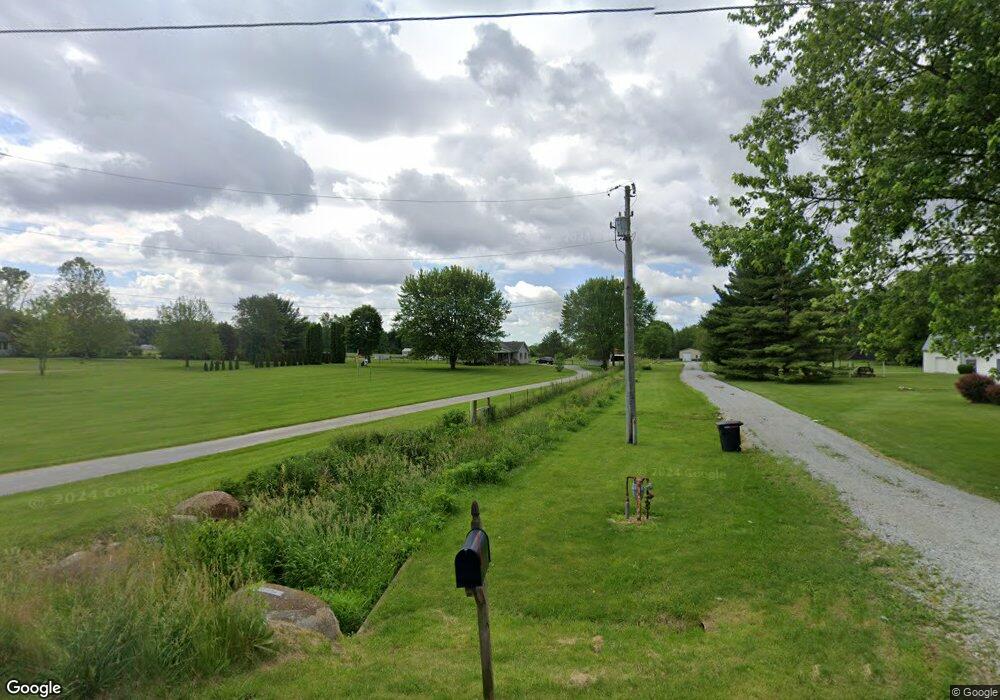
12221 State Route 55 Saint Paris, OH 43072
Estimated Value: $310,000 - $428,000
4
Beds
2
Baths
2,520
Sq Ft
$143/Sq Ft
Est. Value
About This Home
This home is located at 12221 State Route 55, Saint Paris, OH 43072 and is currently estimated at $360,329, approximately $142 per square foot. 12221 State Route 55 is a home located in Champaign County with nearby schools including Graham Elementary School, Graham Middle School, and Graham High School.
Ownership History
Date
Name
Owned For
Owner Type
Purchase Details
Closed on
May 10, 2016
Sold by
Fannie Mae
Bought by
Lawson Tyler B and Lawson Jenny L
Current Estimated Value
Home Financials for this Owner
Home Financials are based on the most recent Mortgage that was taken out on this home.
Original Mortgage
$125,688
Interest Rate
3.71%
Mortgage Type
Purchase Money Mortgage
Create a Home Valuation Report for This Property
The Home Valuation Report is an in-depth analysis detailing your home's value as well as a comparison with similar homes in the area
Home Values in the Area
Average Home Value in this Area
Purchase History
| Date | Buyer | Sale Price | Title Company |
|---|---|---|---|
| Lawson Tyler B | -- | Omega Title Agency Llc |
Source: Public Records
Mortgage History
| Date | Status | Borrower | Loan Amount |
|---|---|---|---|
| Closed | Lawson Tyler B | $125,688 |
Source: Public Records
Tax History Compared to Growth
Tax History
| Year | Tax Paid | Tax Assessment Tax Assessment Total Assessment is a certain percentage of the fair market value that is determined by local assessors to be the total taxable value of land and additions on the property. | Land | Improvement |
|---|---|---|---|---|
| 2024 | $3,383 | $90,850 | $16,920 | $73,930 |
| 2023 | $3,383 | $90,850 | $16,920 | $73,930 |
| 2022 | $3,285 | $90,850 | $16,920 | $73,930 |
| 2021 | $2,860 | $75,140 | $13,530 | $61,610 |
| 2020 | $1,648 | $43,950 | $13,530 | $30,420 |
| 2019 | $1,643 | $43,950 | $13,530 | $30,420 |
| 2018 | $1,479 | $38,990 | $13,530 | $25,460 |
| 2017 | $1,467 | $38,990 | $13,530 | $25,460 |
| 2016 | $1,485 | $60,220 | $13,530 | $46,690 |
| 2015 | $2,276 | $58,200 | $13,530 | $44,670 |
| 2014 | $2,559 | $64,800 | $15,520 | $49,280 |
| 2013 | $2,550 | $64,800 | $15,520 | $49,280 |
Source: Public Records
Map
Nearby Homes
- 211 N Grant St
- 9 W 1st St
- 3075 N Addison New Carlisle Rd
- 5782 N Addison New Carlisle Rd
- 13437 Old Troy Pike
- 10916 Ayres Pike
- 6568 Dialton Rd
- 910 S Alcony Conover Rd
- 910 S Alcony-Conover Rd
- 4025 School Rd
- 133 Dugan St
- 395 Louise Dr
- 137 E Poplar St
- 111 Rupolo Dr
- 411 S Washington St Unit 5
- 411 S Washington St Unit 4
- 411 S Washington St Unit 3
- 411 S Washington St Unit 2
- 12233 State Route 55
- 12195 State Route 55
- 12147 State Route 55
- 12315 State Route 55
- 12330 Ohio 55
- 4700 State Route 235 S
- 4700 Ohio 235
- 12280 State Route 55
- 12249 State Route 55
- 12358 Ohio 55
- 12117 State Route 55
- 4724 State Route 235 S
- 12385 State Route 55
- 4654 State Route 235 S
- 12358 State Route 55
- 12390 Ohio 55
- 4760 State Route 235 S
- 4800 State Route 235 S
- 4840 State Route 235 S
- 12446 State Route 55