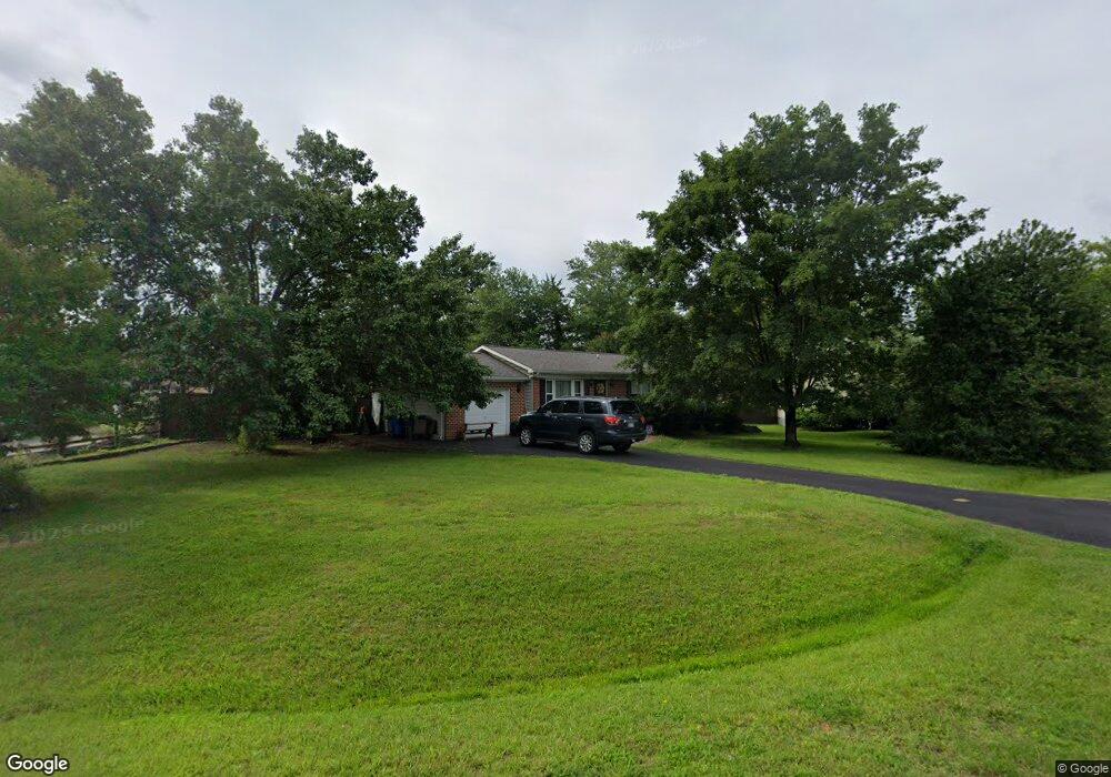
12221 Wendy Ln Waldorf, MD 20601
Estimated Value: $352,088 - $386,000
--
Bed
3
Baths
1,200
Sq Ft
$313/Sq Ft
Est. Value
About This Home
This home is located at 12221 Wendy Ln, Waldorf, MD 20601 and is currently estimated at $375,022, approximately $312 per square foot. 12221 Wendy Ln is a home located in Charles County with nearby schools including C. Paul Barnhart Elementary School, Mattawoman Middle School, and Thomas Stone High School.
Ownership History
Date
Name
Owned For
Owner Type
Purchase Details
Closed on
Feb 4, 2008
Sold by
Swick Mark W and Swick Laura A
Bought by
Swick Laura A
Current Estimated Value
Purchase Details
Closed on
Jan 31, 2008
Sold by
Swick Mark W and Swick Laura A
Bought by
Swick Laura A
Purchase Details
Closed on
Feb 24, 1987
Sold by
Swarey Israel
Bought by
Swick Mark W and Swick Laura A
Home Financials for this Owner
Home Financials are based on the most recent Mortgage that was taken out on this home.
Original Mortgage
$87,100
Interest Rate
9.11%
Create a Home Valuation Report for This Property
The Home Valuation Report is an in-depth analysis detailing your home's value as well as a comparison with similar homes in the area
Home Values in the Area
Average Home Value in this Area
Purchase History
| Date | Buyer | Sale Price | Title Company |
|---|---|---|---|
| Swick Laura A | -- | -- | |
| Swick Laura A | -- | -- | |
| Swick Mark W | $85,000 | -- |
Source: Public Records
Mortgage History
| Date | Status | Borrower | Loan Amount |
|---|---|---|---|
| Previous Owner | Swick Mark W | $87,100 |
Source: Public Records
Tax History Compared to Growth
Tax History
| Year | Tax Paid | Tax Assessment Tax Assessment Total Assessment is a certain percentage of the fair market value that is determined by local assessors to be the total taxable value of land and additions on the property. | Land | Improvement |
|---|---|---|---|---|
| 2025 | $9,603 | $310,667 | -- | -- |
| 2024 | $4,210 | $295,200 | $126,400 | $168,800 |
| 2023 | $3,941 | $275,767 | $0 | $0 |
| 2022 | $3,643 | $256,333 | $0 | $0 |
| 2021 | $3,229 | $236,900 | $96,400 | $140,500 |
| 2020 | $3,229 | $228,300 | $0 | $0 |
| 2019 | $3,100 | $219,700 | $0 | $0 |
| 2018 | $2,947 | $211,100 | $90,400 | $120,700 |
| 2017 | $2,868 | $205,667 | $0 | $0 |
| 2016 | -- | $200,233 | $0 | $0 |
| 2015 | $1,243 | $194,800 | $0 | $0 |
| 2014 | $1,243 | $194,800 | $0 | $0 |
Source: Public Records
Map
Nearby Homes
- 12061 Pierce Rd
- 12276 Wendy Ln
- 12288 Wendy Ln
- 2002 English Oak Ct
- 12113 Farrar Place
- 2204 Holly Oak Ct
- 2031 Tanglewood Dr
- 2073 Tanglewood Dr
- 12820 Twin Oak Dr
- 16659 Green Glade Dr
- 12720 Bar Oak Dr
- 16655 Green Glade Dr
- 11748 Torcello Ct
- 12606 Sub Station Rd
- 7505 Silver Thread Way
- 2545 Enterprise Place
- 7513 Silver Thread Way
- 1525 Pin Oak Dr
- 2290 Mattawoman Beantown Rd
- 11565 Timberbrook Dr
- 12225 Wendy Ln
- 12217 Wendy Ln
- 2243 Delight Ct
- 2239 Delight Ct
- 12229 Wendy Ln
- 2247 Delight Ct
- 12213 Wendy Ln
- 12208 Wendy Ln
- 2235 Delight Ct
- 12209 Wendy Ln
- 12226 Wendy Ln
- 12233 Wendy Ln
- 12070 Pierce Rd
- 12230 Wendy Ln
- 12074 Pierce Rd
- 12204 Wendy Ln
- 12066 Pierce Rd
- 12205 Wendy Ln
- 12078 Pierce Rd
- 2231 Delight Ct