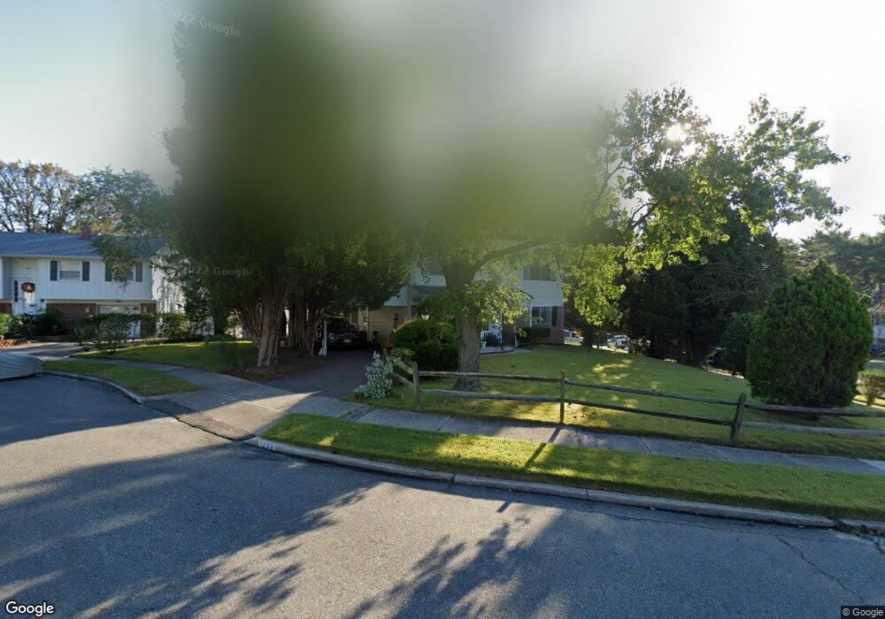
1223 Branch Ct Glen Burnie, MD 21061
Estimated Value: $351,598 - $417,000
--
Bed
2
Baths
1,540
Sq Ft
$249/Sq Ft
Est. Value
About This Home
This home is located at 1223 Branch Ct, Glen Burnie, MD 21061 and is currently estimated at $384,150, approximately $249 per square foot. 1223 Branch Ct is a home located in Anne Arundel County with nearby schools including George T. Cromwell Elementary School, Lindale Middle School, and North County High School.
Ownership History
Date
Name
Owned For
Owner Type
Purchase Details
Closed on
Feb 22, 2025
Sold by
Hafer Angie A and Amalbert Angie Mary
Bought by
Amalbert Angie Mary
Current Estimated Value
Home Financials for this Owner
Home Financials are based on the most recent Mortgage that was taken out on this home.
Original Mortgage
$311,355
Outstanding Balance
$309,519
Interest Rate
6.95%
Mortgage Type
FHA
Estimated Equity
$74,631
Purchase Details
Closed on
May 25, 2022
Sold by
Pitman Gertrud E
Bought by
Hafer Angie A
Home Financials for this Owner
Home Financials are based on the most recent Mortgage that was taken out on this home.
Original Mortgage
$271,600
Interest Rate
5.25%
Mortgage Type
New Conventional
Create a Home Valuation Report for This Property
The Home Valuation Report is an in-depth analysis detailing your home's value as well as a comparison with similar homes in the area
Home Values in the Area
Average Home Value in this Area
Purchase History
| Date | Buyer | Sale Price | Title Company |
|---|---|---|---|
| Amalbert Angie Mary | -- | None Listed On Document | |
| Amalbert Angie Mary | -- | None Listed On Document | |
| Hafer Angie A | $280,000 | None Listed On Document |
Source: Public Records
Mortgage History
| Date | Status | Borrower | Loan Amount |
|---|---|---|---|
| Open | Amalbert Angie Mary | $311,355 | |
| Closed | Amalbert Angie Mary | $311,355 | |
| Previous Owner | Hafer Angie A | $271,600 |
Source: Public Records
Tax History Compared to Growth
Tax History
| Year | Tax Paid | Tax Assessment Tax Assessment Total Assessment is a certain percentage of the fair market value that is determined by local assessors to be the total taxable value of land and additions on the property. | Land | Improvement |
|---|---|---|---|---|
| 2025 | $3,518 | $291,300 | $160,900 | $130,400 |
| 2024 | $3,518 | $275,400 | $0 | $0 |
| 2023 | $3,307 | $259,500 | $0 | $0 |
| 2022 | $2,976 | $243,600 | $128,500 | $115,100 |
| 2021 | $4,812 | $231,167 | $0 | $0 |
| 2020 | $2,317 | $218,733 | $0 | $0 |
| 2019 | $4,544 | $206,300 | $94,800 | $111,500 |
| 2018 | $2,092 | $206,300 | $94,800 | $111,500 |
| 2017 | $2,175 | $206,300 | $0 | $0 |
| 2016 | -- | $238,300 | $0 | $0 |
| 2015 | -- | $229,267 | $0 | $0 |
| 2014 | -- | $220,233 | $0 | $0 |
Source: Public Records
Map
Nearby Homes
- 103 Janelin Dr
- 30 W Furnace Branch Rd
- 114 Wellham Ave NW
- 307 Shipley Ave
- 933 Andrews Rd
- 904 Pleasantville Dr
- 1009 Langley Rd
- 1509 Baby Baer Ct
- 0 Ritchie Hwy
- 1603 Sunshine St
- 1611 Tieman Dr
- 898 Brighton Place
- 1515 Baby Baer Ct
- 1614 Tieman Dr
- 6800 White Water Way Unit 203
- 6803 White Water Way Unit U101
- 103 Sunset Dr
- 2 Woods Ave
- 208 Spring Maiden Ct
- 607 Wellham Ave