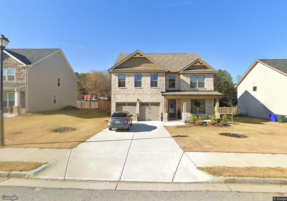
1223 Brookstone Cir Unit 12 Conyers, GA 30012
Estimated Value: $386,530 - $419,000
5
Beds
4
Baths
3,068
Sq Ft
$130/Sq Ft
Est. Value
About This Home
This home is located at 1223 Brookstone Cir Unit 12, Conyers, GA 30012 and is currently estimated at $400,133, approximately $130 per square foot. 1223 Brookstone Cir Unit 12 is a home located in Rockdale County with nearby schools including Hicks Elementary School, Conyers Middle School, and Rockdale County High School.
Ownership History
Date
Name
Owned For
Owner Type
Purchase Details
Closed on
Jun 30, 2020
Sold by
D R Horton Inc
Bought by
Nance Kamarra L and Larkins Bridgett L
Current Estimated Value
Home Financials for this Owner
Home Financials are based on the most recent Mortgage that was taken out on this home.
Original Mortgage
$269,005
Outstanding Balance
$238,536
Interest Rate
3.1%
Mortgage Type
FHA
Estimated Equity
$161,597
Purchase Details
Closed on
Sep 13, 2019
Sold by
Home South Development Llc
Bought by
Dr Horton Inc
Create a Home Valuation Report for This Property
The Home Valuation Report is an in-depth analysis detailing your home's value as well as a comparison with similar homes in the area
Home Values in the Area
Average Home Value in this Area
Purchase History
| Date | Buyer | Sale Price | Title Company |
|---|---|---|---|
| Nance Kamarra L | $273,968 | -- | |
| Dr Horton Inc | $404,868 | -- |
Source: Public Records
Mortgage History
| Date | Status | Borrower | Loan Amount |
|---|---|---|---|
| Open | Nance Kamarra L | $269,005 |
Source: Public Records
Tax History Compared to Growth
Tax History
| Year | Tax Paid | Tax Assessment Tax Assessment Total Assessment is a certain percentage of the fair market value that is determined by local assessors to be the total taxable value of land and additions on the property. | Land | Improvement |
|---|---|---|---|---|
| 2024 | $6,928 | $184,480 | $31,920 | $152,560 |
| 2023 | $6,030 | $163,200 | $30,800 | $132,400 |
| 2022 | $5,174 | $133,720 | $24,240 | $109,480 |
| 2021 | $4,434 | $109,587 | $15,806 | $93,781 |
| 2020 | $1,065 | $12,880 | $12,880 | $0 |
| 2019 | $232 | $3,160 | $3,160 | $0 |
| 2018 | $142 | $3,160 | $3,160 | $0 |
| 2017 | $193 | $3,160 | $3,160 | $0 |
| 2016 | $194 | $3,160 | $3,160 | $0 |
| 2015 | $144 | $3,160 | $3,160 | $0 |
| 2014 | $55 | $1,200 | $1,200 | $0 |
| 2013 | -- | $1,200 | $1,200 | $0 |
Source: Public Records
Map
Nearby Homes
- 1217 Brookstone Cir
- 1260 Brookstone Cir
- 1262 Brookstone Cir
- 1669 E Brook Dr
- 1469 Cliff View Terrace
- 1666 E Brook Dr
- 1526 Battle Brook Dr
- 1915 Cornerstone Pass
- 1962 Bridgestone Cir
- 1735 Hill St NE
- 1903 Cobblestone Ct
- 1954 Bridgestone Cir
- 1640 Andalusian Way
- 2131 Bridgestone Business Pkwy
- 1492 Saint George Place
- 1255 Norton Rd NE
- 1729 Spring St NE
- 1794 Spring St NE
- 1617 Church St NE
- 0 Sigman Rd NE Unit 10655367
- 1223 Brookstone Cir
- 1223 Brookstone Cir
- 1225 Brookstone Cir
- 1221 Brookstone Cir
- 1222 Brookstone Cir
- 1220 Brookstone Cir
- 1219 Brookstone Cir
- 1227 Brookstone Cir Unit 14
- 1227 Brookstone Cir
- 1224 Brookstone Cir
- 1218 Brookstone Cir Unit 56
- 1229 Brookstone Cir
- 1217 Brookstone Cir
- 1226 Brookstone Cir
- 1216 Brookstone Cir
- 1329 Brookstone Lake Dr Unit 70
- 1329 Brookstone Lake Dr
- 1331 Brookstone Lake Dr
- 1325 Brookstone Lake Dr
- 1327 Brookstone Lake Dr