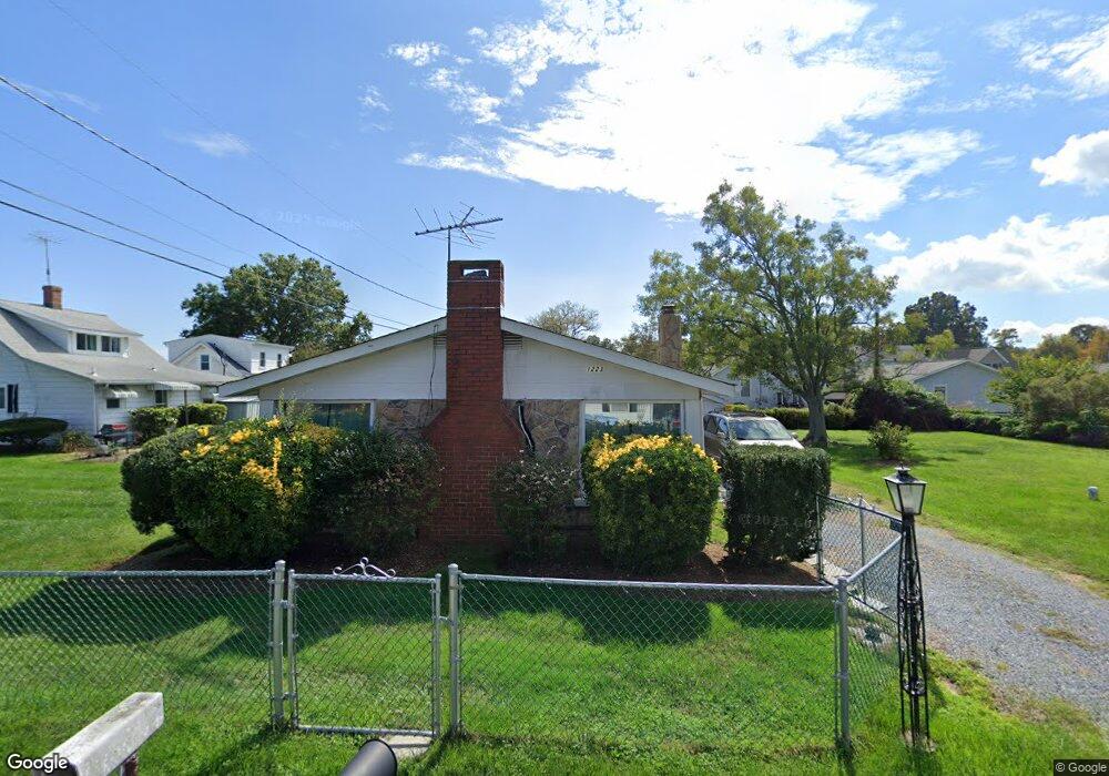
1223 Grove Ave Shady Side, MD 20764
Estimated Value: $294,077 - $331,000
Studio
1
Bath
864
Sq Ft
$359/Sq Ft
Est. Value
About This Home
This home is located at 1223 Grove Ave, Shady Side, MD 20764 and is currently estimated at $310,019, approximately $358 per square foot. 1223 Grove Ave is a home located in Anne Arundel County with nearby schools including Shady Side Elementary School, Southern Middle School, and Southern High School.
Ownership History
Date
Name
Owned For
Owner Type
Purchase Details
Closed on
Aug 15, 2017
Sold by
Teter Beverly Ruth
Bought by
Teter William Ronald and Teter Beverly Ruth
Current Estimated Value
Purchase Details
Closed on
Mar 1, 2016
Sold by
Teter Carl Philip
Bought by
Teter Beverly Ruth
Home Financials for this Owner
Home Financials are based on the most recent Mortgage that was taken out on this home.
Original Mortgage
$200,000
Interest Rate
3.72%
Mortgage Type
New Conventional
Purchase Details
Closed on
Aug 18, 2009
Sold by
Mccombs Mozelle B
Bought by
Teter John Frederick and Teter Carl Philip
Create a Home Valuation Report for This Property
The Home Valuation Report is an in-depth analysis detailing your home's value as well as a comparison with similar homes in the area
Home Values in the Area
Average Home Value in this Area
Purchase History
| Date | Buyer | Sale Price | Title Company |
|---|---|---|---|
| Teter William Ronald | -- | None Available | |
| Teter Beverly Ruth | $200,000 | Liberty Title & Escrow Co | |
| Teter John Frederick | -- | -- |
Source: Public Records
Mortgage History
| Date | Status | Borrower | Loan Amount |
|---|---|---|---|
| Previous Owner | Teter Beverly Ruth | $200,000 |
Source: Public Records
Tax History
| Year | Tax Paid | Tax Assessment Tax Assessment Total Assessment is a certain percentage of the fair market value that is determined by local assessors to be the total taxable value of land and additions on the property. | Land | Improvement |
|---|---|---|---|---|
| 2025 | $3,652 | $250,800 | -- | -- |
| 2024 | $3,652 | $238,800 | $0 | $0 |
| 2023 | $3,458 | $226,800 | $131,700 | $95,100 |
| 2022 | $3,270 | $223,767 | $0 | $0 |
| 2020 | $3,152 | $217,700 | $131,700 | $86,000 |
| 2019 | $3,104 | $209,467 | $0 | $0 |
| 2018 | $2,041 | $201,233 | $0 | $0 |
| 2017 | $2,768 | $193,000 | $0 | $0 |
| 2016 | -- | $186,800 | $0 | $0 |
| 2015 | -- | $180,600 | $0 | $0 |
| 2014 | -- | $174,400 | $0 | $0 |
Source: Public Records
Map
Nearby Homes
- 1199 Oak Ave
- 5191 Spring Ave
- 1176 Spruce Ave
- 1461 Cedarhurst Rd
- 0 Haile Pkwy Unit MDAA2127474
- 1650 Cedar Ln
- 1445 & 1447 Haile Pkwy
- 1436 Haile Pkwy
- 4949 Idlewilde Rd
- 5235 Al Jones Dr
- 1411 Haile Pkwy
- 1428 Haile Pkwy
- 5250 Al Jones Dr
- 0 Shady Side Rd Unit MDAA2113156
- 0 Shady Side Rd Unit MDAA2113166
- 1451 Shady Rest Rd
- 1419 Shady Rest Rd
- 1711 Columbia Beach Rd
- 1462 Snug Harbor Rd
- 5218 Nick Rd
- 5202 Chesapeake Ave
- 1221 Grove Ave
- 5204 Chesapeake Ave
- 5198 Chesapeake Ave
- 1214 Oak Ave
- 1222 Grove Ave
- 1212 Oak Ave
- 1220 Grove Ave
- 5206 Chesapeake Ave
- 1219 Grove Ave
- 1210 Oak Ave
- 1218 Grove Ave
- 5194 Chesapeake Ave
- 1215 Grove Ave
- 1231 Holly Ave
- 5192 Chesapeake Ave
- 1215 Oak Ave
- 5210 Chesapeake Ave
- 1206 Oak Ave
- 1212 Grove Ave
Your Personal Tour Guide
Ask me questions while you tour the home.