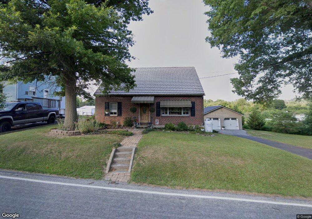
1223 Porters Rd Spring Grove, PA 17362
Estimated Value: $198,000 - $292,000
5
Beds
2
Baths
1,632
Sq Ft
$145/Sq Ft
Est. Value
About This Home
This home is located at 1223 Porters Rd, Spring Grove, PA 17362 and is currently estimated at $237,420, approximately $145 per square foot. 1223 Porters Rd is a home located in York County with nearby schools including Spring Grove Area Middle School, Spring Grove Area High School, and Garbers Mennonite School.
Ownership History
Date
Name
Owned For
Owner Type
Purchase Details
Closed on
May 2, 2013
Sold by
Lemmon Danielle M and Caler Nicole
Bought by
Lemmon Robert T
Current Estimated Value
Purchase Details
Closed on
Jan 29, 1999
Sold by
Lemmon Robert T
Bought by
Lemmon James M
Home Financials for this Owner
Home Financials are based on the most recent Mortgage that was taken out on this home.
Original Mortgage
$50,000
Outstanding Balance
$12,099
Interest Rate
7%
Mortgage Type
Seller Take Back
Estimated Equity
$225,321
Create a Home Valuation Report for This Property
The Home Valuation Report is an in-depth analysis detailing your home's value as well as a comparison with similar homes in the area
Home Values in the Area
Average Home Value in this Area
Purchase History
| Date | Buyer | Sale Price | Title Company |
|---|---|---|---|
| Lemmon Robert T | -- | None Available | |
| Lemmon James M | $62,500 | -- |
Source: Public Records
Mortgage History
| Date | Status | Borrower | Loan Amount |
|---|---|---|---|
| Open | Lemmon James M | $50,000 |
Source: Public Records
Tax History Compared to Growth
Tax History
| Year | Tax Paid | Tax Assessment Tax Assessment Total Assessment is a certain percentage of the fair market value that is determined by local assessors to be the total taxable value of land and additions on the property. | Land | Improvement |
|---|---|---|---|---|
| 2025 | $3,701 | $110,150 | $29,100 | $81,050 |
| 2024 | $3,662 | $110,150 | $29,100 | $81,050 |
| 2023 | $3,662 | $110,150 | $29,100 | $81,050 |
| 2022 | $3,662 | $110,150 | $29,100 | $81,050 |
| 2021 | $3,505 | $110,150 | $29,100 | $81,050 |
| 2020 | $3,505 | $110,150 | $29,100 | $81,050 |
| 2019 | $3,430 | $110,150 | $29,100 | $81,050 |
| 2018 | $3,385 | $110,150 | $29,100 | $81,050 |
| 2017 | $3,280 | $110,150 | $29,100 | $81,050 |
| 2016 | -- | $110,150 | $29,100 | $81,050 |
| 2015 | $2,317 | $110,150 | $29,100 | $81,050 |
| 2014 | $2,317 | $110,150 | $29,100 | $81,050 |
Source: Public Records
Map
Nearby Homes
- 1063 Porters Rd
- 6428 York Rd
- 5931 York Rd
- 6475 Pamadeva Rd
- 5497 Stambaugh Rd
- 1323 Moulstown Rd N
- 6306 Liam Dr
- 1495 Jefferson Rd
- 6309 Liam Dr
- 6313 Liam Dr
- 6319 Liam Dr
- 6314 Liam Dr
- 6325 Liam Dr
- 0 Sassafras Plan at Hills at Valley View Unit PAYK2082018
- 6324 Liam
- 0 Sugar Maple Plan at Hills at Valley View Unit PAYK2082020
- Lot # 2 Midhill Rd
- Lot # 1 Midhill Rd
- Lot# 3 Midhill Rd
- 0 Pin Oak 5br Plan at Hills at Valley View Unit PAYK2087614
- 1223 Porters Rd
- 1219 Porters Rd
- 1215 Porters Rd
- 1209 Porters Rd
- 1235 Porters Rd
- 1201 Porters Rd
- 6106 Thoman Dr
- 6102 Thoman Dr
- 6084 Thoman Dr
- 1222 Porters Rd
- 1239 Porters Rd
- 6110 Thoman Dr
- 6096 Thoman Dr
- 1226 Porters Rd
- 6116 Thoman Dr
- 1230 Porters Rd
- 1234 Porters Rd
- 6120 Thoman Dr
- 1238 Porters Rd
- 6099 Carlton Ave