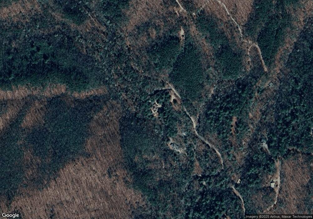
1223 Ralston Creek Trail Ellijay, GA 30536
Estimated Value: $689,000 - $1,107,282
3
Beds
5
Baths
3,261
Sq Ft
$272/Sq Ft
Est. Value
About This Home
This home is located at 1223 Ralston Creek Trail, Ellijay, GA 30536 and is currently estimated at $885,571, approximately $271 per square foot. 1223 Ralston Creek Trail is a home located in Gilmer County with nearby schools including Ellijay Elementary School, Clear Creek Elementary School, and Gilmer Middle School.
Ownership History
Date
Name
Owned For
Owner Type
Purchase Details
Closed on
Jan 14, 2022
Sold by
Moore Colleen
Bought by
Moore Jerry Joe and 2020 Cdm Family Trust
Current Estimated Value
Purchase Details
Closed on
Feb 20, 2020
Sold by
Mabry Eric D
Bought by
Moore Colleen
Purchase Details
Closed on
May 17, 2010
Sold by
Mabry Tina G
Bought by
Mabry Eric D
Purchase Details
Closed on
May 21, 2008
Sold by
Mabry Eric D
Bought by
Mabry Eric D and Mabry Tina G
Purchase Details
Closed on
Jun 1, 1994
Bought by
Mabry Eric D
Create a Home Valuation Report for This Property
The Home Valuation Report is an in-depth analysis detailing your home's value as well as a comparison with similar homes in the area
Home Values in the Area
Average Home Value in this Area
Purchase History
| Date | Buyer | Sale Price | Title Company |
|---|---|---|---|
| Moore Jerry Joe | -- | -- | |
| Moore Colleen | $420,000 | -- | |
| Mabry Eric D | -- | -- | |
| Mabry Eric D | -- | -- | |
| Mabry Eric D | $45,000 | -- |
Source: Public Records
Tax History Compared to Growth
Tax History
| Year | Tax Paid | Tax Assessment Tax Assessment Total Assessment is a certain percentage of the fair market value that is determined by local assessors to be the total taxable value of land and additions on the property. | Land | Improvement |
|---|---|---|---|---|
| 2024 | $4,500 | $363,696 | $87,400 | $276,296 |
| 2023 | $4,160 | $333,064 | $87,400 | $245,664 |
| 2022 | $3,309 | $188,040 | $46,720 | $141,320 |
| 2021 | $3,271 | $164,800 | $44,720 | $120,080 |
| 2020 | $2,827 | $150,952 | $44,560 | $106,392 |
| 2019 | $2,904 | $150,952 | $44,560 | $106,392 |
| 2018 | $2,763 | $136,480 | $44,560 | $91,920 |
| 2017 | $2,797 | $124,688 | $58,560 | $66,128 |
| 2016 | $2,640 | $111,536 | $44,560 | $66,976 |
| 2015 | $2,228 | $92,280 | $30,560 | $61,720 |
| 2014 | $2,304 | $91,840 | $30,560 | $61,280 |
| 2013 | -- | $94,760 | $30,560 | $64,200 |
Source: Public Records
Map
Nearby Homes
- 1055 Wolfpen Trail
- 9.6 ac Ralston Creek Trail
- 1048 Laurel Trail
- 384 Mountain Laurel Dr Unit 14-15
- 384 Mountain Laurel Dr
- 104 Mountain Creek Dr Unit 19
- 104 Mountain Creek Dr
- 9547 Big Creek Rd
- 989 New Liberty Rd
- 0 Nocona Trail
- 1055 New Liberty Trail
- Lot 3 Big Creek
- 5.74 Hardslate Rd
- Lot 9 Moss Creek Trail
- 14 AC Rainbow Ridge Dr
- Lot 4 Wilderness Way
- Lot 18 Wilderness Way
- Lot 13 Wilderness Way
- 1065 Ralston Creek Trail
- 1086 Ralston Creek Trail
- 880 Ralston Creek Trail
- 0 Pink Branch Trc
- 45 Pink Branch Trc
- 45 Pink Branch Trace
- 45 Pink Branch Trace
- 297 Pink Branch Trace
- 1096 Ralston Creek Trail
- 239 Pink Branch Trace
- 708 Ralston Creek Trail
- 1055 Wolf Pen Trail
- 644 Ralston Creek Trail
- 10 Ac Ralston Creek Trail
- 15AC Ralston Creek Trail
- 147AC Ralston Creek Trail
- 6.4 Ralston Creek Trail
- 4.88 Ralston Creek Trail
- 1382 Wolfpen Trail
- 305 Oliver Creek Rd
