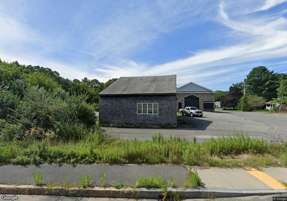
1223 State Rd Westport, MA 02790
North Westport NeighborhoodEstimated Value: $500,000 - $737,000
4
Beds
--
Bath
2,030
Sq Ft
$308/Sq Ft
Est. Value
About This Home
This home is located at 1223 State Rd, Westport, MA 02790 and is currently estimated at $624,673, approximately $307 per square foot. 1223 State Rd is a home located in Bristol County with nearby schools including Alice A. Macomber Primary School, Westport Elementary School, and Westport Middle-High School.
Ownership History
Date
Name
Owned For
Owner Type
Purchase Details
Closed on
Jul 9, 2019
Sold by
Simmons Christopher and Simmons Jessica L
Bought by
Union Avenue Rt
Current Estimated Value
Create a Home Valuation Report for This Property
The Home Valuation Report is an in-depth analysis detailing your home's value as well as a comparison with similar homes in the area
Home Values in the Area
Average Home Value in this Area
Purchase History
| Date | Buyer | Sale Price | Title Company |
|---|---|---|---|
| Union Avenue Rt | -- | -- |
Source: Public Records
Tax History Compared to Growth
Tax History
| Year | Tax Paid | Tax Assessment Tax Assessment Total Assessment is a certain percentage of the fair market value that is determined by local assessors to be the total taxable value of land and additions on the property. | Land | Improvement |
|---|---|---|---|---|
| 2025 | $2,971 | $398,800 | $212,000 | $186,800 |
| 2024 | $2,978 | $385,200 | $201,100 | $184,100 |
| 2023 | $2,832 | $347,000 | $174,100 | $172,900 |
| 2022 | $2,776 | $328,000 | $174,100 | $153,900 |
| 2021 | $2,776 | $322,000 | $163,500 | $158,500 |
| 2020 | $2,678 | $317,700 | $159,200 | $158,500 |
| 2019 | $2,579 | $311,900 | $168,600 | $143,300 |
| 2018 | $2,534 | $310,100 | $194,600 | $115,500 |
| 2017 | $2,446 | $306,900 | $194,600 | $112,300 |
| 2016 | $2,428 | $306,900 | $194,600 | $112,300 |
| 2015 | $2,281 | $287,600 | $194,600 | $93,000 |
Source: Public Records
Map
Nearby Homes
- 29 Union Ave
- 96 Forge Rd
- 3 Roller Coaster Way Unit Lot 1
- 461 Reed Rd
- 735 Reed Rd
- 27 Dias Ave
- 56 Lakeside Ave
- 55 Lakeside Ave
- 16 S Berryman St
- 818 Reed Rd
- 15 S Breault St
- 565 Highland Ave
- 9 Kyle Jacob Rd
- 0 Van Buren St
- 4 Main Rd
- 320 Old Westport Rd
- 312 Old Westport Rd
- 310 Old Westport Rd
- 53 Morton Ave
- 116 Gifford Rd
- 9 Union Ave
- 15 Union Ave
- 1239 State Rd Unit 1241
- 2 Rose Ave
- 1207 State Rd Unit 1209
- 19 Union Ave
- 0 Beeden Rd
- 8 Rose Ave
- 958 State Rd
- 1246 American Legion Hwy Unit 1248
- 25 Union Ave
- 1203 State Rd
- 1 Rose Ave
- 5 Rose Ave
- 962 State Rd
- 1199 State Rd Unit 1201
- 11 Rose Ave
- 1 Highland Ave
- 3 Beeden Rd
- 3 Beeden Rd Unit B