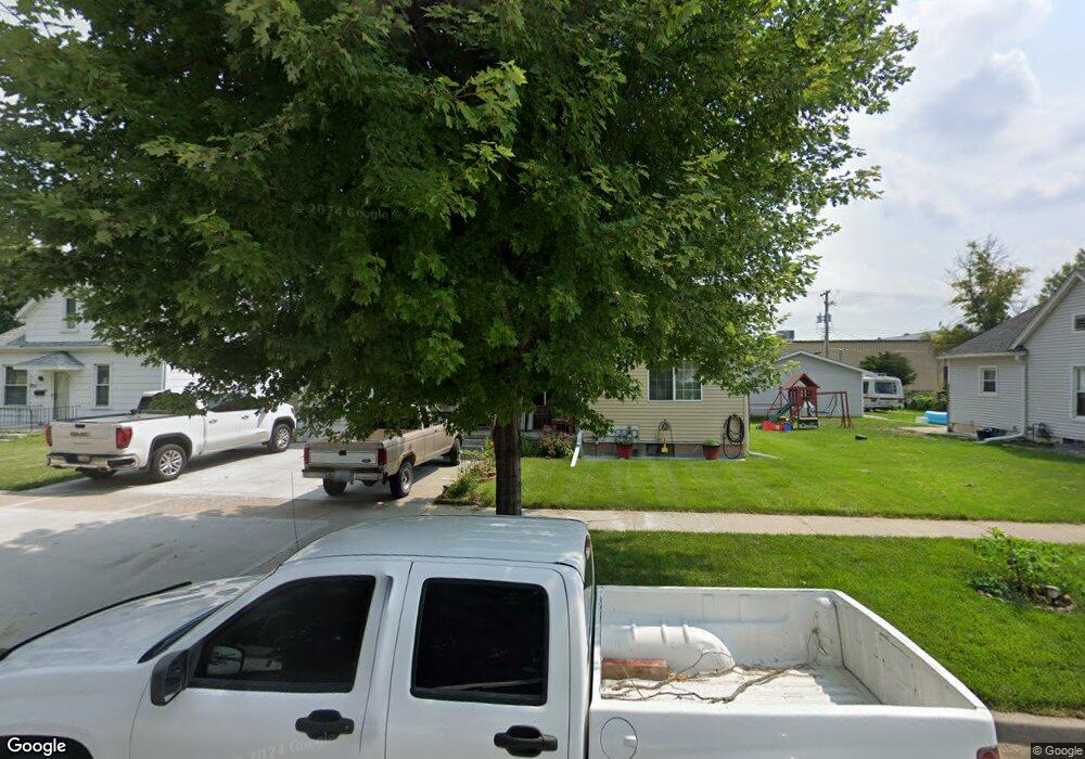
1223 Taylor Ave Norfolk, NE 68701
Estimated Value: $179,000 - $206,000
2
Beds
2
Baths
934
Sq Ft
$207/Sq Ft
Est. Value
About This Home
This home is located at 1223 Taylor Ave, Norfolk, NE 68701 and is currently estimated at $193,263, approximately $206 per square foot. 1223 Taylor Ave is a home located in Madison County with nearby schools including Norfolk Senior High School, Christ Lutheran School, and Keystone Christian Academy.
Ownership History
Date
Name
Owned For
Owner Type
Purchase Details
Closed on
Nov 29, 2010
Sold by
Barlean Johnnie C and Barlean Joyce M
Bought by
Figueroa Figueroa Jose C Jose C
Current Estimated Value
Home Financials for this Owner
Home Financials are based on the most recent Mortgage that was taken out on this home.
Original Mortgage
$66,240
Outstanding Balance
$43,317
Interest Rate
4.25%
Mortgage Type
FHA
Estimated Equity
$149,946
Purchase Details
Closed on
Nov 7, 2002
Sold by
Drevsen Frieda M
Bought by
Barlean Johnnie C and Barlean Joyce M
Create a Home Valuation Report for This Property
The Home Valuation Report is an in-depth analysis detailing your home's value as well as a comparison with similar homes in the area
Home Values in the Area
Average Home Value in this Area
Purchase History
| Date | Buyer | Sale Price | Title Company |
|---|---|---|---|
| Figueroa Figueroa Jose C Jose C | $68,000 | Rels Title | |
| Barlean Johnnie C | $57,000 | -- |
Source: Public Records
Mortgage History
| Date | Status | Borrower | Loan Amount |
|---|---|---|---|
| Open | Figueroa Figueroa Jose C Jose C | $66,240 |
Source: Public Records
Tax History
| Year | Tax Paid | Tax Assessment Tax Assessment Total Assessment is a certain percentage of the fair market value that is determined by local assessors to be the total taxable value of land and additions on the property. | Land | Improvement |
|---|---|---|---|---|
| 2025 | $2,116 | $183,137 | $11,934 | $171,203 |
| 2024 | $2,116 | $170,455 | $11,934 | $158,521 |
| 2023 | $2,909 | $157,366 | $11,934 | $145,432 |
| 2022 | $2,628 | $141,784 | $11,934 | $129,850 |
| 2021 | $2,425 | $131,062 | $11,934 | $119,128 |
| 2020 | $2,236 | $121,226 | $11,934 | $109,292 |
| 2019 | $2,092 | $109,516 | $11,934 | $97,582 |
| 2018 | $1,816 | $96,674 | $9,547 | $87,127 |
| 2017 | $1,643 | $87,339 | $9,547 | $77,792 |
| 2016 | $1,524 | $80,870 | $8,840 | $72,030 |
| 2015 | $1,524 | $80,870 | $8,840 | $72,030 |
| 2014 | $1,503 | $77,440 | $8,840 | $68,600 |
| 2013 | $1,462 | $72,952 | $8,840 | $64,112 |
Source: Public Records
Map
Nearby Homes
- 1219 W Park Ave
- 1206 W Park Ave
- 1208 W Phillip Ave
- 212 S 13th St
- 608 S 9th St
- 2300 Taylor Ave
- 2308 Taylor Ave
- 611 S 9th St
- 603 S 9th St
- 3307 W Michigan Ave
- 3206 W Michigan Ave
- 3205 W Michigan Ave
- 3306 W Michigan Ave
- See Legal
- 810 S 9th St
- 311 S 17th St
- 1200 Prime Stop Way
- 3303 Stonebrook Ln
- 1103 Koenigstein Ave
- 1221 W Nebraska Ave
- 1221 Taylor Ave
- 1225 Taylor Ave
- 1227 Taylor Ave
- 608 Columbia St
- 1229 Taylor Ave
- 1226 W Pasewalk Ave
- 1215 Taylor Ave
- 1222 Taylor Ave
- 1224 Taylor Ave
- 1220 Taylor Ave
- 610 Columbia St
- 1228 W Pasewalk Ave
- 1224 W Pasewalk Ave
- 1231 Taylor Ave
- 1213 Taylor Ave
- 1226 Taylor Ave
- 609 Columbia St
- 1228 Taylor Ave
- Busines Only
- 1211 Taylor Ave
Your Personal Tour Guide
Ask me questions while you tour the home.