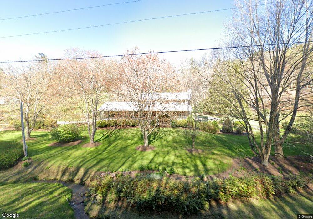
1223 Vale Rd Newland, NC 28657
Estimated Value: $322,000 - $475,000
3
Beds
2
Baths
2,650
Sq Ft
$159/Sq Ft
Est. Value
About This Home
This home is located at 1223 Vale Rd, Newland, NC 28657 and is currently estimated at $420,721, approximately $158 per square foot. 1223 Vale Rd is a home with nearby schools including Newland Elementary School, Avery Middle School, and Avery County High School.
Ownership History
Date
Name
Owned For
Owner Type
Purchase Details
Closed on
Aug 12, 2025
Sold by
Church Lisa Gale
Bought by
Lisa Church Living Trust and Church
Current Estimated Value
Purchase Details
Closed on
Jun 9, 2023
Sold by
Tutterow Patricia
Bought by
Stanley Nicholas Lee and Stanley Alexis Jordan
Purchase Details
Closed on
Oct 28, 2022
Sold by
Tutterow Keith and Tutterow Patricia G
Bought by
Church Lisa Gale
Create a Home Valuation Report for This Property
The Home Valuation Report is an in-depth analysis detailing your home's value as well as a comparison with similar homes in the area
Home Values in the Area
Average Home Value in this Area
Purchase History
| Date | Buyer | Sale Price | Title Company |
|---|---|---|---|
| Lisa Church Living Trust | -- | None Listed On Document | |
| Lisa Church Living Trust | -- | None Listed On Document | |
| Stanley Nicholas Lee | $63,500 | None Listed On Document | |
| Church Lisa Gale | $10,000 | -- | |
| Church Lisa Gale | $10,000 | None Listed On Document |
Source: Public Records
Tax History Compared to Growth
Tax History
| Year | Tax Paid | Tax Assessment Tax Assessment Total Assessment is a certain percentage of the fair market value that is determined by local assessors to be the total taxable value of land and additions on the property. | Land | Improvement |
|---|---|---|---|---|
| 2024 | $1,212 | $303,000 | $43,200 | $259,800 |
| 2023 | $1,307 | $319,700 | $58,100 | $261,600 |
| 2022 | $1,307 | $326,800 | $65,200 | $261,600 |
| 2021 | $1,461 | $265,600 | $45,100 | $220,500 |
| 2020 | $1,461 | $265,600 | $45,100 | $220,500 |
| 2019 | $1,461 | $265,600 | $45,100 | $220,500 |
| 2018 | $1,461 | $265,600 | $45,100 | $220,500 |
| 2017 | $1,509 | $274,400 | $0 | $0 |
| 2016 | $1,227 | $274,400 | $0 | $0 |
| 2015 | $1,227 | $274,400 | $45,100 | $229,300 |
| 2012 | -- | $311,400 | $57,600 | $253,800 |
Source: Public Records
Map
Nearby Homes
- 232 Cole Hollow Rd
- 34 Cranberry St
- 0 Cow Camp Rd
- 72 Rhoneys View Rd
- 417 Cranberry St
- 811 Hemlock Dr
- 914 Balsam Dr
- TBD Farview Ln
- 924 Balsam Dr
- 832 Hemlock Dr
- 468 Sokassa Rd
- 390 & 468 Sokassa Rd
- 390 Sokassa Rd
- 2777 Hickory Nut Gap Rd
- TBD Hemlock Dr
- 221 Old Cranberry St
- 169 Railroad St
- 165 Apache St
- 209 Apache St
- 620 Glenview Rd
- 1290 Trice Fork Mountain Rd
- 1147 Vale Rd
- 106 Church Farm Rd
- 1412 Vale Rd
- 989 Vale Rd
- 1201 Trice Fork Mountain Rd
- 1184 Trice Fork Mountain Rd
- 000 Trice Fork Mountain Rd
- 51 Trice Fork Mountain Rd
- 91 Church Farm Rd
- 191 Church Farm Rd
- 108 Church Farm Rd
- 1034 Vale Rd
- 1119 Trice Fork Mountain Rd
- 1205 Trice Fork Mountain Rd
- 188 Mountain Shadow Ln
- 114 Trice Fork Mountain Rd
- 136 Mountain Shadow Ln
- 54 Fork Mountain Cemetery Rd
- 50 Mountain Shadow Ln