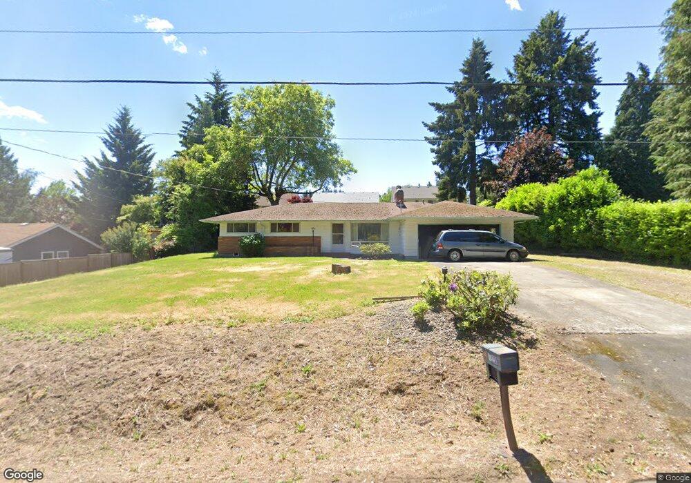
12230 SW Marion St Portland, OR 97223
Derry Dell NeighborhoodEstimated Value: $515,000 - $570,000
3
Beds
2
Baths
1,339
Sq Ft
$399/Sq Ft
Est. Value
About This Home
This home is located at 12230 SW Marion St, Portland, OR 97223 and is currently estimated at $534,582, approximately $399 per square foot. 12230 SW Marion St is a home located in Washington County with nearby schools including Charles F. Tigard Elementary School, Thomas R. Fowler Middle School, and Tigard High School.
Ownership History
Date
Name
Owned For
Owner Type
Purchase Details
Closed on
Jul 11, 2002
Sold by
Ownbey David Lloyd
Bought by
Ownbey David Lloyd and Ownbey Patricia Anne
Current Estimated Value
Home Financials for this Owner
Home Financials are based on the most recent Mortgage that was taken out on this home.
Original Mortgage
$143,500
Interest Rate
6.71%
Purchase Details
Closed on
Jun 11, 2002
Sold by
Ownbey Patricia Anne
Bought by
Ownbey David Lloyd
Home Financials for this Owner
Home Financials are based on the most recent Mortgage that was taken out on this home.
Original Mortgage
$143,500
Interest Rate
6.71%
Create a Home Valuation Report for This Property
The Home Valuation Report is an in-depth analysis detailing your home's value as well as a comparison with similar homes in the area
Home Values in the Area
Average Home Value in this Area
Purchase History
| Date | Buyer | Sale Price | Title Company |
|---|---|---|---|
| Ownbey David Lloyd | -- | Oregon Title Insurance Co | |
| Ownbey David Lloyd | -- | Oregon Title Insurance Co |
Source: Public Records
Mortgage History
| Date | Status | Borrower | Loan Amount |
|---|---|---|---|
| Closed | Ownbey David Lloyd | $143,500 |
Source: Public Records
Tax History Compared to Growth
Tax History
| Year | Tax Paid | Tax Assessment Tax Assessment Total Assessment is a certain percentage of the fair market value that is determined by local assessors to be the total taxable value of land and additions on the property. | Land | Improvement |
|---|---|---|---|---|
| 2025 | $3,939 | $231,030 | -- | -- |
| 2024 | $3,833 | $224,310 | -- | -- |
| 2023 | $3,833 | $217,780 | $0 | $0 |
| 2022 | $3,723 | $217,780 | $0 | $0 |
| 2021 | $3,630 | $205,290 | $0 | $0 |
| 2020 | $3,521 | $199,320 | $0 | $0 |
| 2019 | $3,369 | $193,520 | $0 | $0 |
| 2018 | $3,232 | $187,890 | $0 | $0 |
| 2017 | $3,115 | $182,420 | $0 | $0 |
| 2016 | $2,975 | $177,110 | $0 | $0 |
| 2015 | $2,859 | $171,960 | $0 | $0 |
| 2014 | $2,775 | $166,960 | $0 | $0 |
Source: Public Records
Map
Nearby Homes
- 12249 SW Hollow Ln
- 12174 SW Quail Creek Ln
- 13154 SW 121st Ave
- 13085 SW 124th Ave
- 12175 SW Alberta St
- 13610 SW Aerie Dr
- 12183 SW Plantation Terrace
- 13236 SW Bigleaf Dr
- 13890 SW 118th Ct
- 12255 SW Tippitt Place
- 13953 SW Aerie Dr
- 11735 SW Gaarde St
- 12200 SW Walnut St
- 12176 SW Ames Ln
- 0 SW Walnut St
- 13123 SW Merlin Place
- 12822 SW Morningstar Dr
- 13728 SW 130th Place
- 12435 SW 121st Ave
- 13001 SW Gallin Ct
- 12210 SW Marion St
- 12250 SW Marion St
- 12219 SW Hollow Ln
- 12213 SW Hollow Ln
- 12225 SW Hollow Ln
- 12201 SW Hollow Ln
- 12237 SW Hollow Ln
- 12199 SW Hollow Ln
- 12225 SW Marion St
- 12187 SW Hollow Ln
- 12190 SW Marion St
- 12245 SW Marion St
- 12270 SW Marion St
- 12251 SW Hollow Ln
- 12175 SW Hollow Ln
- 12202 SW Hollow Ln
- 12190 SW Hollow Ln Unit 1393
- 12190 SW Hollow Ln
- 12218 SW Hollow Ln
- 12263 SW Hollow Ln