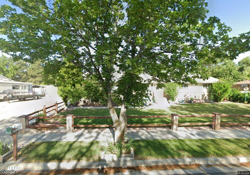
12232 Mcdougal Dr Riverton, UT 84065
Estimated Value: $525,753 - $583,000
3
Beds
2
Baths
1,320
Sq Ft
$428/Sq Ft
Est. Value
About This Home
This home is located at 12232 Mcdougal Dr, Riverton, UT 84065 and is currently estimated at $565,188, approximately $428 per square foot. 12232 Mcdougal Dr is a home located in Salt Lake County with nearby schools including Rosamond Elementary School, Oquirrh Hills Middle School, and Riverton High School.
Ownership History
Date
Name
Owned For
Owner Type
Purchase Details
Closed on
Sep 24, 1997
Sold by
Tennyson Ray B and Dale Tennyson C
Bought by
Tennyson Ray B and Tennyson Carol Dale
Current Estimated Value
Home Financials for this Owner
Home Financials are based on the most recent Mortgage that was taken out on this home.
Original Mortgage
$124,276
Interest Rate
7.07%
Mortgage Type
FHA
Create a Home Valuation Report for This Property
The Home Valuation Report is an in-depth analysis detailing your home's value as well as a comparison with similar homes in the area
Home Values in the Area
Average Home Value in this Area
Purchase History
| Date | Buyer | Sale Price | Title Company |
|---|---|---|---|
| Tennyson Ray B | -- | -- |
Source: Public Records
Mortgage History
| Date | Status | Borrower | Loan Amount |
|---|---|---|---|
| Closed | Tennyson Ray B | $124,276 |
Source: Public Records
Tax History
| Year | Tax Paid | Tax Assessment Tax Assessment Total Assessment is a certain percentage of the fair market value that is determined by local assessors to be the total taxable value of land and additions on the property. | Land | Improvement |
|---|---|---|---|---|
| 2025 | $2,847 | $502,200 | $214,000 | $288,200 |
| 2024 | $2,847 | $492,800 | $194,200 | $298,600 |
| 2023 | $3,017 | $492,300 | $192,300 | $300,000 |
| 2022 | $3,001 | $480,400 | $188,500 | $291,900 |
| 2021 | $2,544 | $362,500 | $122,300 | $240,200 |
| 2020 | $2,456 | $326,300 | $122,300 | $204,000 |
| 2019 | $2,439 | $318,600 | $122,300 | $196,300 |
| 2016 | $2,009 | $241,600 | $114,100 | $127,500 |
Source: Public Records
Map
Nearby Homes
- 2127 Silver Tree Cir
- 2356 W Montcalm Dr
- 12501 Falls Creek Rd
- 12332 S 2700 W
- 2329 W Myers Ln
- 11788 S Myers Park Ln Unit 101
- 1719 W 12050 S
- 12317 S Redwood Rd
- 12325 S Redwood Rd
- 12341 S Redwood Rd
- 1733 W Shade Ln
- 1661 W Madison View Dr
- 11718 S Myers Park Ln Unit 105
- 1644 W Madison Ridge Ln
- 2853 W 12075 S
- 1924 W Trail Heights Dr
- 2511 W 11730 S
- 11710 S Myers Park Ln Unit 106
- 12702 S City Heights Dr Unit 158
- 1721 W Hollow Cedar Ln Unit 1
- 12246 S 2240 W
- 12244 Mcdougal Dr
- 12210 S 2240 W
- 12210 Mcdougal Dr
- 2268 W 12250 S
- 12231 S 2240 W
- 12215 S 2240 W
- 12245 S 2240 W
- 2287 W 12175 S
- 12190 Mcdougal Dr
- 2284 W 12250 S
- 2307 W 12175 S
- 12270 Mcdougal Dr
- 12261 S 2240 W
- 12261 S 2240 W
- 12285 S 2240 W
- 12285 S 2240 W
- 2269 W 12250 S
- 2285 W 12250 S
- 2311 W 12175 S Unit 609
Your Personal Tour Guide
Ask me questions while you tour the home.