12232 S Robin Rd Gentry, AR 72734
Estimated Value: $217,000 - $506,000
2
Beds
1
Bath
1,131
Sq Ft
$281/Sq Ft
Est. Value
About This Home
This home is located at 12232 S Robin Rd, Gentry, AR 72734 and is currently estimated at $318,000, approximately $281 per square foot. 12232 S Robin Rd is a home located in Benton County with nearby schools including Gentry Intermediate School, Gentry Primary School, and Gentry Middle School.
Ownership History
Date
Name
Owned For
Owner Type
Purchase Details
Closed on
Sep 23, 2008
Sold by
Bank Of New York
Bought by
Long Sam
Current Estimated Value
Purchase Details
Closed on
Jun 29, 2005
Sold by
Newton Hal and Newton Carolyn
Bought by
Boyd Michael S and Boyd Lana K
Purchase Details
Closed on
Jun 27, 2003
Bought by
Partain and Gothard
Purchase Details
Closed on
Jul 2, 1999
Bought by
Newton
Purchase Details
Closed on
Jun 24, 1999
Bought by
Newton
Purchase Details
Closed on
May 28, 1999
Bought by
Newton
Purchase Details
Closed on
Dec 3, 1998
Bought by
Dickerson
Create a Home Valuation Report for This Property
The Home Valuation Report is an in-depth analysis detailing your home's value as well as a comparison with similar homes in the area
Home Values in the Area
Average Home Value in this Area
Purchase History
| Date | Buyer | Sale Price | Title Company |
|---|---|---|---|
| Long Sam | $25,000 | Associates Closing & Title | |
| Boyd Michael S | $58,000 | Professional Land Title Coma | |
| Partain | -- | -- | |
| Newton | -- | -- | |
| Newton | -- | -- | |
| Newton | $18,000 | -- | |
| Dickerson | -- | -- |
Source: Public Records
Tax History
| Year | Tax Paid | Tax Assessment Tax Assessment Total Assessment is a certain percentage of the fair market value that is determined by local assessors to be the total taxable value of land and additions on the property. | Land | Improvement |
|---|---|---|---|---|
| 2025 | $2 | $48 | $48 | -- |
| 2024 | $2 | $48 | $48 | -- |
| 2023 | $2 | $46 | $46 | $0 |
| 2022 | $2 | $46 | $46 | $0 |
| 2021 | $138 | $3,410 | $2,600 | $810 |
| 2020 | $125 | $2,360 | $1,400 | $960 |
| 2019 | $125 | $2,360 | $1,400 | $960 |
| 2018 | $125 | $2,360 | $1,400 | $960 |
| 2017 | $125 | $2,360 | $1,400 | $960 |
| 2016 | $125 | $2,360 | $1,400 | $960 |
| 2015 | $183 | $3,650 | $1,200 | $2,450 |
| 2014 | $183 | $3,650 | $1,200 | $2,450 |
Source: Public Records
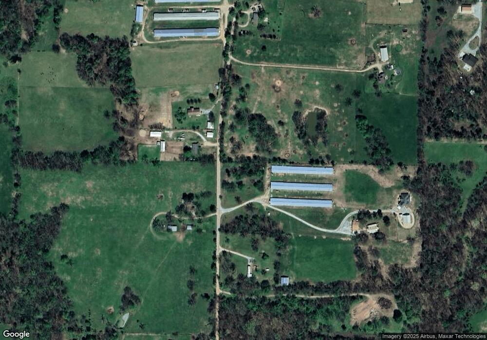
Map
Nearby Homes
- 19800 Dawn Hill Rd E
- 00 Highway 12
- 1313 Valley Dr
- 343 Melissa Ln
- 1315 Valley Dr
- 252 S Eastern Ave
- 9.09 Acres E 3rd St Hwy 12
- 801 E 1st St Unit 801, 803, 805, 807
- 10879 Arkansas 59
- 1012 Vista Dr
- 812 Saddlebrook St
- 1017 Rachel St
- 2009 Morgan Cir
- 2124 Brown Bear Ln
- 812 Vista St
- 12535 Collins Rd
- 237 Ramsey St
- 2201 Brown Bear Ln
- 190 Allen Ave
- 337 Ryder St
- 12217 S Robin Rd
- 12275 S Robin Rd
- 12079 S Robin Rd
- 12288 S Robin Rd
- 0 Robin Rd Unit 437243
- 0 Robin Rd Unit 390644
- 0 Robin Rd Unit 479353
- 0 Robin Rd Unit 499466
- 0 Robin Rd Unit 655172
- 0 Robin Rd Unit 1068113
- 12278 S Robin Rd
- 2501 S Robin Rd
- 12282 S Robin Rd
- 12079 S Robin Rd
- 12146 S Robin Rd
- 12079 Robin Rd
- 12041 S Robin Rd
- 1202 S Robin Rd
- 12029 S Edmondson Rd
- 664 S Robin Rd
Your Personal Tour Guide
Ask me questions while you tour the home.