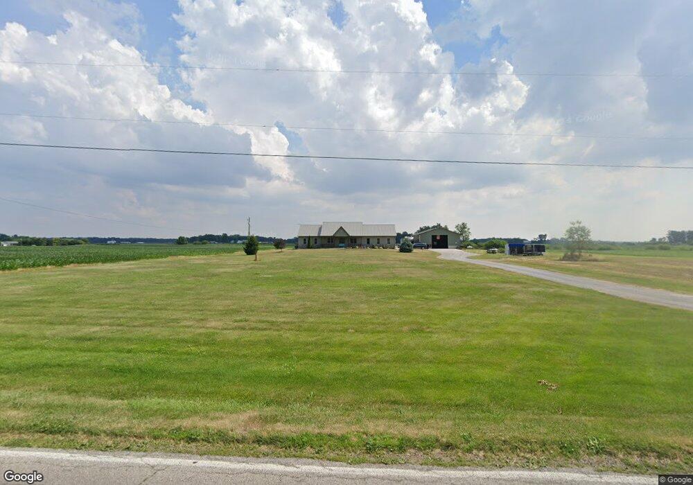
12233 County Road L Wauseon, OH 43567
Estimated Value: $267,000 - $484,000
2
Beds
1
Bath
1,770
Sq Ft
$237/Sq Ft
Est. Value
About This Home
This home is located at 12233 County Road L, Wauseon, OH 43567 and is currently estimated at $420,049, approximately $237 per square foot. 12233 County Road L is a home located in Fulton County with nearby schools including Delta Elementary School, Pike-Delta-York Middle School, and Pike-Delta-York High School.
Ownership History
Date
Name
Owned For
Owner Type
Purchase Details
Closed on
May 12, 2022
Sold by
Stewart Aaron L and Stewart Brittany L
Bought by
Stewart Aaron L and Stewart Brittany L
Current Estimated Value
Purchase Details
Closed on
Nov 27, 2012
Sold by
Stewart Aaron L and Stewart Brittany L
Bought by
Stewart Kyle E
Purchase Details
Closed on
Jul 30, 2010
Sold by
Robinson Mark S and Robinson Lynn L
Bought by
Stewart Aaron L and Stewart Brittany L
Create a Home Valuation Report for This Property
The Home Valuation Report is an in-depth analysis detailing your home's value as well as a comparison with similar homes in the area
Home Values in the Area
Average Home Value in this Area
Purchase History
| Date | Buyer | Sale Price | Title Company |
|---|---|---|---|
| Stewart Aaron L | -- | Rupp Hagans & Bohmer Llp | |
| Stewart Kyle E | -- | Attorney | |
| Stewart Aaron L | $72,000 | Attorney |
Source: Public Records
Tax History Compared to Growth
Tax History
| Year | Tax Paid | Tax Assessment Tax Assessment Total Assessment is a certain percentage of the fair market value that is determined by local assessors to be the total taxable value of land and additions on the property. | Land | Improvement |
|---|---|---|---|---|
| 2024 | $5,639 | $145,500 | $37,840 | $107,660 |
| 2023 | $5,644 | $145,500 | $37,840 | $107,660 |
| 2022 | $5,425 | $108,440 | $31,540 | $76,900 |
| 2021 | $5,340 | $104,130 | $27,230 | $76,900 |
| 2020 | $5,370 | $104,130 | $27,230 | $76,900 |
| 2019 | $4,354 | $88,760 | $21,700 | $67,060 |
| 2018 | $3,778 | $82,290 | $21,700 | $60,590 |
| 2017 | $3,775 | $82,290 | $21,700 | $60,590 |
| 2016 | $3,635 | $71,580 | $21,700 | $49,880 |
| 2015 | $3,460 | $71,580 | $21,700 | $49,880 |
| 2014 | $4,458 | $71,580 | $21,700 | $49,880 |
| 2013 | $2,813 | $62,550 | $17,920 | $44,630 |
Source: Public Records
Map
Nearby Homes
- 11715 County Road L
- 11517 County Road 11
- 11396 County Road N
- 8453 County Road 13
- 11670 County Road L
- 0 County Road H
- 7620 County Road 12
- 7373 County Road 12
- 14900 W Co Rd H
- 13354 U S 20a
- 13242 Us Highway 20a
- 14900 County Road H
- 14640 County Road K
- 460 Airport Hwy
- 14578 Us Highway 20a
- 1209 Apache Dr
- 16099 Us Highway 20
- 117 Fairview St
- Integrity 1830 Plan at Arrowhead Trails
- integrity 2280 Plan at Arrowhead Trails
- 12325 County Road L
- 12244 County Road L
- 11971 County Road L
- 11130 County Road 12
- 11970 County Road L
- 11100 County Road 12
- 11390 County Road 12
- 12400 County Road L
- 11925 County Road L
- 11060 County Road 12
- 11430 County Road 12
- 11865 County Road L
- 11894 County Road L
- 11486 County Road 12
- 11835 County Road L
- 11811 County Road L
- 12484 County Road L
- 12511 County Road L
- 11838 County Road L
- 12545 County Road L