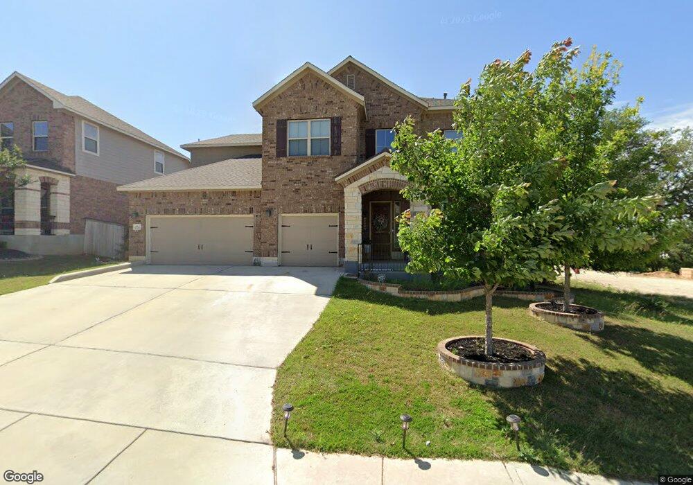
12234 Upton Park San Antonio, TX 78253
Westpointe East NeighborhoodEstimated Value: $528,000 - $611,000
4
Beds
4
Baths
3,431
Sq Ft
$167/Sq Ft
Est. Value
About This Home
This home is located at 12234 Upton Park, San Antonio, TX 78253 and is currently estimated at $572,768, approximately $166 per square foot. 12234 Upton Park is a home with nearby schools including Cole Elementary School, Briscoe Middle School, and Brennan High School.
Ownership History
Date
Name
Owned For
Owner Type
Purchase Details
Closed on
Apr 27, 2018
Sold by
M I Homes San Antonio Llc
Bought by
Baez Tony and Baez Sonia
Current Estimated Value
Home Financials for this Owner
Home Financials are based on the most recent Mortgage that was taken out on this home.
Original Mortgage
$379,750
Outstanding Balance
$327,278
Interest Rate
4.44%
Mortgage Type
New Conventional
Estimated Equity
$245,490
Purchase Details
Closed on
Jun 18, 2015
Sold by
Wpe Ventures Llc
Bought by
M/I Homes Of San Antonio Llc
Create a Home Valuation Report for This Property
The Home Valuation Report is an in-depth analysis detailing your home's value as well as a comparison with similar homes in the area
Home Values in the Area
Average Home Value in this Area
Purchase History
| Date | Buyer | Sale Price | Title Company |
|---|---|---|---|
| Baez Tony | -- | M I Title Llc | |
| M/I Homes Of San Antonio Llc | -- | None Available |
Source: Public Records
Mortgage History
| Date | Status | Borrower | Loan Amount |
|---|---|---|---|
| Open | Baez Tony | $379,750 |
Source: Public Records
Tax History Compared to Growth
Tax History
| Year | Tax Paid | Tax Assessment Tax Assessment Total Assessment is a certain percentage of the fair market value that is determined by local assessors to be the total taxable value of land and additions on the property. | Land | Improvement |
|---|---|---|---|---|
| 2025 | $8,879 | $603,200 | $95,140 | $508,060 |
| 2024 | $8,879 | $576,283 | $95,140 | $499,730 |
| 2023 | $8,879 | $523,894 | $95,140 | $538,590 |
| 2022 | $11,849 | $586,120 | $79,300 | $506,820 |
| 2021 | $9,101 | $432,970 | $72,070 | $360,900 |
| 2020 | $8,917 | $414,650 | $70,520 | $344,130 |
| 2019 | $8,983 | $404,530 | $70,520 | $334,010 |
| 2018 | $1,147 | $51,600 | $51,600 | $0 |
| 2017 | $1,062 | $47,700 | $47,700 | $0 |
| 2016 | $940 | $42,200 | $42,200 | $0 |
| 2015 | -- | $21,300 | $21,300 | $0 |
Source: Public Records
Map
Nearby Homes
- 12323 Merritt Villa
- 12211 Upton Park
- 1817 Delafield Rd
- 2114 Derussy Rd
- 1731 Doubleday Ln
- 2130 Knippa
- 1412 Hallettsville
- 2130 Dalhart
- 2042 Buckner Pass
- 12433 Pottsboro
- 12433 Redwater
- 2102 Dalhart Pass
- 12019 Bailey Hills
- 2040 Dalhart
- 1822 Knippa
- 12514 Thrall
- 11910 Wilby Creek
- 12523 Niederwald
- 12517 Liberty Hill
- 1514 Knippa
- 12230 Upton Park
- 12226 Upton Park
- 12323 Merritt Villa
- 12235 Upton Park
- 2043 Sladen Hills
- 12231 Upton Park
- 12222 Upton Park
- 12319 Merritt Villa
- 12227 Upton Park
- 12319 Merritt Villa
- 12250 Upton Park
- 12223 Upton Park
- 12315 Merritt Villa
- 12218 Upton Park
- 12243 Upton Park
- 2035 Sladen Hills
- 12219 Upton Park
- 1930 Delafield Rd
- 12251 Upton Park
- 12214 Upton Park