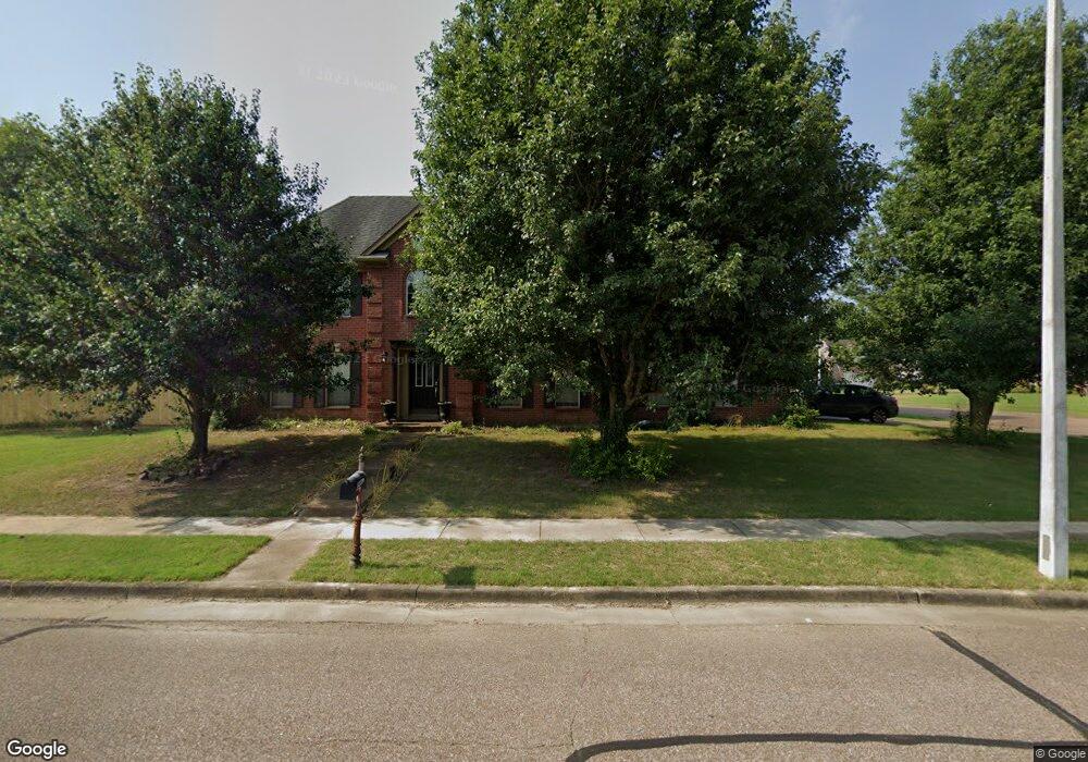
12239 S Fork Dr Arlington, TN 38002
Estimated Value: $385,157 - $429,000
4
Beds
3
Baths
2,652
Sq Ft
$156/Sq Ft
Est. Value
About This Home
This home is located at 12239 S Fork Dr, Arlington, TN 38002 and is currently estimated at $413,789, approximately $156 per square foot. 12239 S Fork Dr is a home located in Shelby County with nearby schools including Arlington Elementary School, Arlington Middle School, and Arlington High School.
Ownership History
Date
Name
Owned For
Owner Type
Purchase Details
Closed on
May 18, 2001
Sold by
Mccauley & Associates Llc
Bought by
Reifers Robert T and Reifers Brenda S
Current Estimated Value
Home Financials for this Owner
Home Financials are based on the most recent Mortgage that was taken out on this home.
Original Mortgage
$204,250
Outstanding Balance
$74,151
Interest Rate
6.98%
Estimated Equity
$339,638
Create a Home Valuation Report for This Property
The Home Valuation Report is an in-depth analysis detailing your home's value as well as a comparison with similar homes in the area
Home Values in the Area
Average Home Value in this Area
Purchase History
| Date | Buyer | Sale Price | Title Company |
|---|---|---|---|
| Reifers Robert T | $215,000 | -- | |
| Reifers Robert T | $215,000 | -- |
Source: Public Records
Mortgage History
| Date | Status | Borrower | Loan Amount |
|---|---|---|---|
| Open | Reifers Robert T | $204,250 | |
| Closed | Reifers Robert T | $204,250 |
Source: Public Records
Tax History
| Year | Tax Paid | Tax Assessment Tax Assessment Total Assessment is a certain percentage of the fair market value that is determined by local assessors to be the total taxable value of land and additions on the property. | Land | Improvement |
|---|---|---|---|---|
| 2025 | $2,509 | $92,050 | $21,575 | $70,475 |
| 2024 | $5,017 | $74,000 | $15,200 | $58,800 |
| 2023 | $3,456 | $74,000 | $15,200 | $58,800 |
| 2022 | $3,456 | $74,000 | $15,200 | $58,800 |
| 2021 | $3,500 | $74,000 | $15,200 | $58,800 |
| 2020 | $3,420 | $63,100 | $12,450 | $50,650 |
| 2019 | $2,556 | $63,100 | $12,450 | $50,650 |
| 2018 | $3,281 | $63,100 | $12,450 | $50,650 |
| 2017 | $3,319 | $63,100 | $12,450 | $50,650 |
| 2016 | $3,308 | $59,925 | $0 | $0 |
| 2014 | $2,619 | $59,925 | $0 | $0 |
Source: Public Records
Map
Nearby Homes
- 12261 S Fork Dr
- 12270 Afton Place
- 12332 S Fork Dr
- 6124 Aubrey Ranch Dr
- 6098 Aubrey Ranch Dr
- 12150 Osborne Grove Dr
- 12314 Wilson Lake Dr
- 6301 Bevan Lake Dr
- 5970 Ticer Dr
- 6043 Garrett Valley Ln
- 5011 Jon Oak Cove
- 5056 Jon Oak Cove
- 5030 Jon Oak Cove
- 5046 Jon Oak Cove
- 5960 Arlington Oak Cove
- 12436 Dusty Field Rd
- 6342 Bevan Lake Dr
- 5908 Milton Wilson Blvd
- 6376 Bevan Lake Dr
- 5796 Milton Wilson Blvd
- 12253 S Fork Dr
- 12240 Afton Place
- 12250 Afton Place
- 12242 S Fork Dr
- 6137 Ewing Blvd
- 6147 Ewing Blvd
- 12252 S Fork Dr
- 6127 Ewing Blvd
- 6155 Ewing Blvd
- 12260 S Fork Dr
- 6119 Ewing Blvd
- 6163 Ewing Blvd
- 12243 Dallas Ridge Dr
- 12241 Afton Place
- 12271 S Fork Dr
- 12251 Afton Place
- 12251 Dallas Ridge Dr
- 12270 S Fork Dr
- 6111 Ewing Blvd
- 6173 Ewing Blvd
Your Personal Tour Guide
Ask me questions while you tour the home.