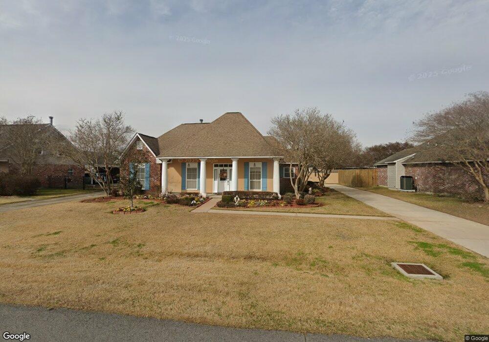
12239 S Milstead Place Baton Rouge, LA 70818
Estimated Value: $253,200 - $295,000
--
Bed
--
Bath
1,900
Sq Ft
$143/Sq Ft
Est. Value
About This Home
This home is located at 12239 S Milstead Place, Baton Rouge, LA 70818 and is currently estimated at $271,300, approximately $142 per square foot. 12239 S Milstead Place is a home located in East Baton Rouge Parish with nearby schools including Bellingrath Hills Elementary School, Central Intermediate School, and Tanglewood Elementary School.
Ownership History
Date
Name
Owned For
Owner Type
Purchase Details
Closed on
Jun 30, 1998
Sold by
Fontenot Gerald Brent
Bought by
Everett Carl Thomas and Everett Gaynel M
Current Estimated Value
Home Financials for this Owner
Home Financials are based on the most recent Mortgage that was taken out on this home.
Original Mortgage
$76,000
Interest Rate
7.13%
Create a Home Valuation Report for This Property
The Home Valuation Report is an in-depth analysis detailing your home's value as well as a comparison with similar homes in the area
Home Values in the Area
Average Home Value in this Area
Purchase History
| Date | Buyer | Sale Price | Title Company |
|---|---|---|---|
| Everett Carl Thomas | $131,000 | -- |
Source: Public Records
Mortgage History
| Date | Status | Borrower | Loan Amount |
|---|---|---|---|
| Closed | Everett Carl Thomas | $76,000 |
Source: Public Records
Tax History Compared to Growth
Tax History
| Year | Tax Paid | Tax Assessment Tax Assessment Total Assessment is a certain percentage of the fair market value that is determined by local assessors to be the total taxable value of land and additions on the property. | Land | Improvement |
|---|---|---|---|---|
| 2024 | $1,394 | $18,250 | $2,200 | $16,050 |
| 2023 | $1,394 | $18,250 | $2,200 | $16,050 |
| 2022 | $2,442 | $18,250 | $2,200 | $16,050 |
| 2021 | $2,442 | $18,250 | $2,200 | $16,050 |
| 2020 | $2,397 | $18,250 | $2,200 | $16,050 |
| 2019 | $2,467 | $18,250 | $2,200 | $16,050 |
| 2018 | $2,440 | $18,250 | $2,200 | $16,050 |
| 2017 | $2,440 | $18,250 | $2,200 | $16,050 |
| 2016 | $694 | $12,633 | $2,200 | $10,433 |
| 2015 | $1,448 | $18,250 | $2,200 | $16,050 |
| 2014 | $1,398 | $18,250 | $2,200 | $16,050 |
| 2013 | -- | $18,250 | $2,200 | $16,050 |
Source: Public Records
Map
Nearby Homes
- 12238 S Milstead Place
- 11403 Joor Rd
- 15935 Joor Rd
- 11853 Gurney Rd
- 9296 Hooper Rd
- 10600 Hooper Rd
- 12736 Centerra Ct
- 11977 Gurney Rd
- LOT B Joor Rd
- LOT A Joor Rd
- 10838 Shoe Creek Dr
- 11355 Gurney Rd
- 11802 Morgan Meadow Ave
- 11358 Lazy Lake Dr
- 12409 Partridgewood Dr
- 11222 Hooper Rd
- 13574 Reed Ave
- 10845 Ida Ave
- 11818 Pheasantwood Dr
- 13138 Joor Rd
- 12249 S Milstead Place
- 12229 S Milstead Place
- 11821 N Milstead Place
- 11811 N Milstead Place
- 12219 S Milstead Place
- 11831 N Milstead Place
- 12228 S Milstead Place
- 11841 N Milstead Place
- 12248 S Milstead Place
- 12209 S Milstead Place
- 12020 Spring Meadow Dr
- 12218 S Milstead Place
- 12010 Spring Meadow Dr
- 12030 Spring Meadow Dr
- 11851 N Milstead Place
- 11948 Spring Meadow Dr
- 12040 Spring Meadow Dr
- 12208 S Milstead Place
- 12157 S Milstead Place
- 11938 Spring Meadow Dr