1224 Ash Dr South Haven, MI 49090
Estimated Value: $622,651 - $979,000
--
Bed
--
Bath
3,594
Sq Ft
$217/Sq Ft
Est. Value
About This Home
This home is located at 1224 Ash Dr, South Haven, MI 49090 and is currently estimated at $778,663, approximately $216 per square foot. 1224 Ash Dr is a home with nearby schools including Glenn Public School.
Ownership History
Date
Name
Owned For
Owner Type
Purchase Details
Closed on
May 14, 2024
Sold by
Duncan Michael A and Duncan Mary R
Bought by
Dechant John P and Dechant Kaitlyn P
Current Estimated Value
Home Financials for this Owner
Home Financials are based on the most recent Mortgage that was taken out on this home.
Original Mortgage
$515,137
Outstanding Balance
$508,211
Interest Rate
7.1%
Mortgage Type
New Conventional
Estimated Equity
$270,452
Purchase Details
Closed on
Sep 20, 1994
Sold by
Knerr-Cain Susan
Create a Home Valuation Report for This Property
The Home Valuation Report is an in-depth analysis detailing your home's value as well as a comparison with similar homes in the area
Home Values in the Area
Average Home Value in this Area
Purchase History
| Date | Buyer | Sale Price | Title Company |
|---|---|---|---|
| Dechant John P | $572,500 | Chicago Title Of Michigan | |
| -- | $170,000 | -- |
Source: Public Records
Mortgage History
| Date | Status | Borrower | Loan Amount |
|---|---|---|---|
| Open | Dechant John P | $515,137 |
Source: Public Records
Tax History Compared to Growth
Tax History
| Year | Tax Paid | Tax Assessment Tax Assessment Total Assessment is a certain percentage of the fair market value that is determined by local assessors to be the total taxable value of land and additions on the property. | Land | Improvement |
|---|---|---|---|---|
| 2025 | $6,824 | $319,200 | $67,800 | $251,400 |
| 2024 | $6,025 | $219,700 | $70,000 | $149,700 |
| 2023 | $6,025 | $200,000 | $63,000 | $137,000 |
| 2022 | $6,025 | $191,600 | $63,000 | $128,600 |
| 2021 | $5,691 | $183,600 | $63,000 | $120,600 |
| 2020 | $5,691 | $188,300 | $63,000 | $125,300 |
| 2019 | $0 | $186,800 | $63,000 | $123,800 |
| 2018 | $0 | $188,100 | $63,000 | $125,100 |
| 2017 | $0 | $186,000 | $63,000 | $123,000 |
| 2016 | $0 | $152,500 | $56,000 | $96,500 |
| 2015 | -- | $152,500 | $56,000 | $96,500 |
| 2014 | -- | $159,000 | $56,000 | $103,000 |
| 2013 | -- | $172,000 | $63,000 | $109,000 |
Source: Public Records
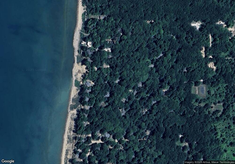
Map
Nearby Homes
- 1228 Shore Crest Dr
- 1178 Cherry Dr
- 7125 Maple Ave
- Lot 1 Christopher Ln
- Lot2 Christopher Ln
- A.3 70th Street & 111th Ave
- 1395 Blue Star Hwy
- 997 S Lake Ln
- 1007 Orchard Ave
- D.2 70th St
- 1466 Lakeshore Dr
- C.3 70th St
- 1484 71st St
- E.2 70th St
- 0000 Blue Star Hwy
- 910 Adams Rd
- 1317 68th St
- 1113 68th St
- VL 68th St
- 6935 116th Ave
- 1224 Ash Dr
- 7164 Creekwood
- 7117 Creekwood
- 1220 Ash Dr
- 7155 Creekwood
- 1233 Shore Crest Dr
- 1215 Ash Dr
- 1233 Shorecrest Dr
- 1219 Ash Dr
- 0 Shore Crest Dr
- 0 Shore Crest Dr Unit 71011065398
- 0 Shore Crest Dr Unit M14046551
- 0 Shore Crest Dr Unit M15044427
- 0 Shore Crest Dr Unit M16047856
- 0 Shore Crest Dr Unit M18036604
- 0 Shore Crest Dr Unit 71014046551
- 0 Shore Crest Dr Unit 71016047856
- 0 Shore Crest Dr Unit 71015044427
- 0 Shore Crest Dr Unit Lot 21 18036604
- 0 Shore Crest Dr Unit 2206644