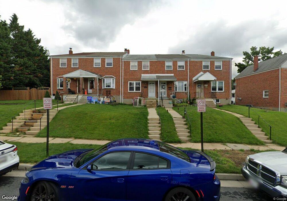
1224 Brewster St Halethorpe, MD 21227
Estimated Value: $214,000 - $275,000
Studio
1
Bath
1,024
Sq Ft
$237/Sq Ft
Est. Value
About This Home
This home is located at 1224 Brewster St, Halethorpe, MD 21227 and is currently estimated at $242,704, approximately $237 per square foot. 1224 Brewster St is a home located in Baltimore County with nearby schools including Arbutus Elementary School, Arbutus Middle School, and Lansdowne High School.
Ownership History
Date
Name
Owned For
Owner Type
Purchase Details
Closed on
Nov 19, 2001
Sold by
Holland Wayne W
Bought by
Farley Brian K
Current Estimated Value
Purchase Details
Closed on
Jul 22, 1971
Sold by
Keys William W
Bought by
Holland Wayne W
Create a Home Valuation Report for This Property
The Home Valuation Report is an in-depth analysis detailing your home's value as well as a comparison with similar homes in the area
Home Values in the Area
Average Home Value in this Area
Purchase History
We collect this data history from publicly available records. To have your information removed, we recommend requesting removal directly through your county’s website.
| Date | Buyer | Sale Price | Title Company |
|---|---|---|---|
| Farley Brian K | $88,500 | -- | |
| Holland Wayne W | $13,300 | -- |
Source: Public Records
Tax History
| Year | Tax Paid | Tax Assessment Tax Assessment Total Assessment is a certain percentage of the fair market value that is determined by local assessors to be the total taxable value of land and additions on the property. | Land | Improvement |
|---|---|---|---|---|
| 2025 | $2,803 | $181,267 | -- | -- |
| 2024 | $2,803 | $170,600 | $55,800 | $114,800 |
| 2023 | $1,277 | $166,767 | $0 | $0 |
| 2022 | $2,454 | $162,933 | $0 | $0 |
| 2021 | $2,390 | $159,100 | $55,800 | $103,300 |
| 2020 | $2,390 | $154,533 | $0 | $0 |
| 2019 | $2,276 | $149,967 | $0 | $0 |
| 2018 | $2,135 | $145,400 | $55,800 | $89,600 |
| 2017 | $2,153 | $141,267 | $0 | $0 |
| 2016 | $1,748 | $137,133 | $0 | $0 |
| 2015 | $1,748 | $133,000 | $0 | $0 |
| 2014 | $1,748 | $133,000 | $0 | $0 |
Source: Public Records
Map
Nearby Homes
- 1245 Brewster St
- 1254 Brewster St
- 5562 Dolores Ave
- 5522 Ashbourne Rd
- 5405 Highridge St
- 1126 Elm Rd
- 1057 Elm Rd
- 1337 Poplar Ave
- 1308 Elm Rd
- 5611 Chelwynd Rd
- 5528 Selma Ave
- 5605 Oregon Ave
- 1416 Sulphur Spring Rd
- 18 Ingate Terrace
- 5546 Selma Ave
- 5630 Oakland Rd
- 1229 North Ave
- 1121 Kelfield Dr
- 104 Waelchli Ave
- 1257 Circle Dr
- 1222 Brewster St
- 1228 Brewster St
- 1220 Brewster St
- 1230 Brewster St
- 5533 Highridge St
- 1232 Brewster St
- 1234 Brewster St
- 5531 Highridge St
- 1236 Brewster St
- 5529 Highridge St
- 1238 Brewster St
- 5527 Highridge St
- 1212 Brewster St
- 5534 Council St
- 1240 Brewster St
- 5532 Council St
- 1221 Brewster St
- 1223 Brewster St
- 1225 Brewster St
- 1219 Brewster St
Your Personal Tour Guide
Ask me questions while you tour the home.